1.8 km away
Chimney Tops Trail
Steep climb to a popular viewpoint near a craggy summit.
Difficult Hiking
- Distance
- 6.3 km
- Ascent
- 422 m
- Descent
- 422 m
A popular route to the summit of Mount LeConte.
Hiking Difficult

This hike is considered by most people to be one of the best in the Great Smoky Mountains National Park. There are many ways to access the popular summit of Mount LeConte, but this is by far the most common. Multiple landmarks line the way, offering plenty of options to form shorter out-and-back hikes.
There are multiple parking areas along Newfound Gap Road to begin the hike, but be sure to get an early start in peak tourist season. The trail's popularity makes it quite crowded at times. Overflow parking is available along the road, but could require a long road walk to begin the day.
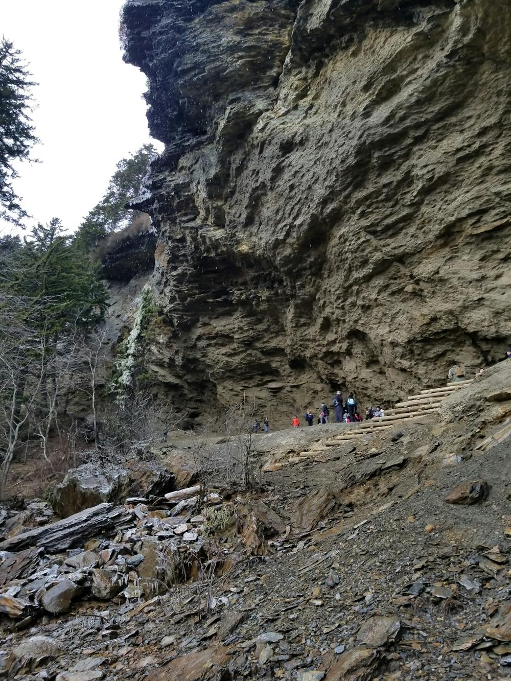
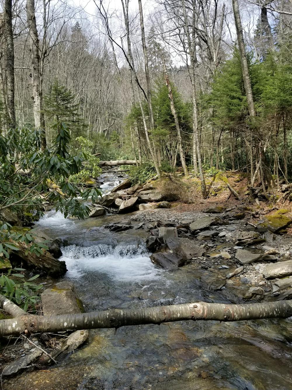
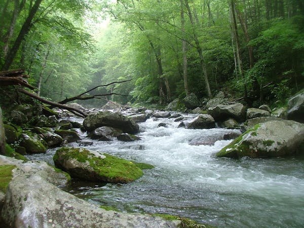
The hike begins by following a rhododendron-lined creek as it climbs gently upstream. Just over a mile in, the trail reaches Arch Rock. A series of steps carved into the stone takes hikers under the picturesque arch as it continues to Alum Cave.
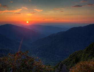
The trail's namesake feature, Alum Cave, lies just over two miles from the trailhead. You'll be able to snag some views at Inspiration Point as you make your way there. More of a concave bluff than a traditional cave, the overhang serves as a popular destination for a day hike, leaving the summit of Mount LeConte to the most adventurous.
According to hikinginthesmokys.com, "the Epsom Salts Manufacturing Company was established at Alum Cave in 1838. Until it was sold in 1854, the company mined Epsom salt from the cave, which was used by mountain folk to dye homespun clothing a reddish brown. During the Civil War, the Confederate Army mined saltpeter from the cave, which was used to manufacture gunpowder."
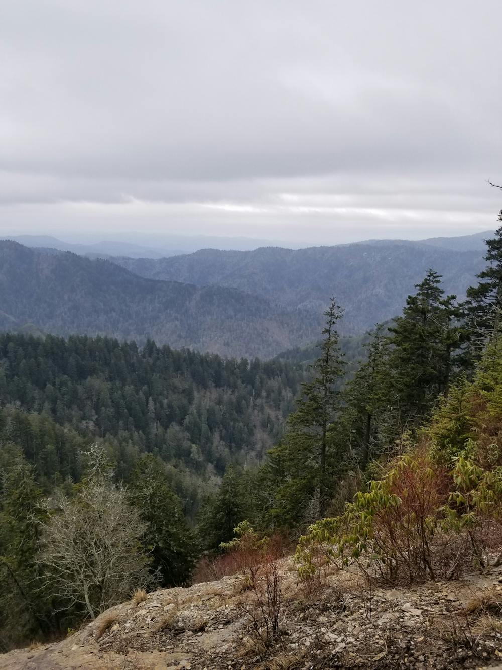
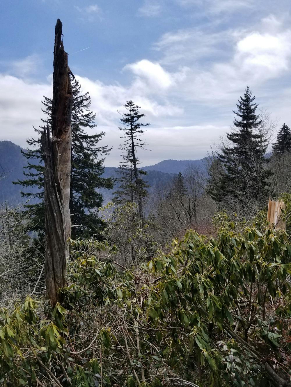
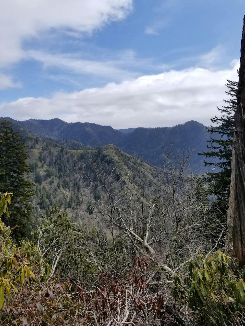
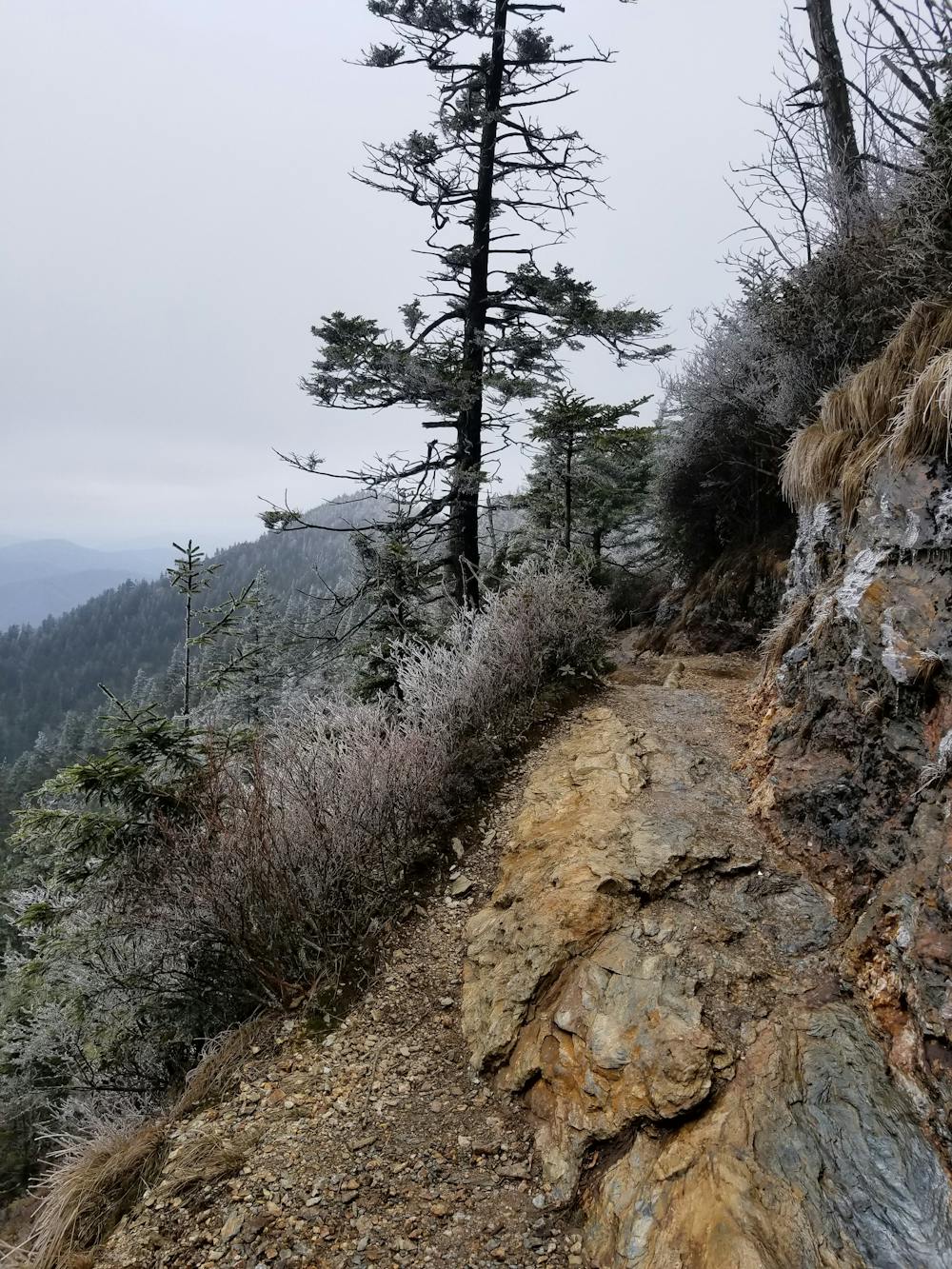
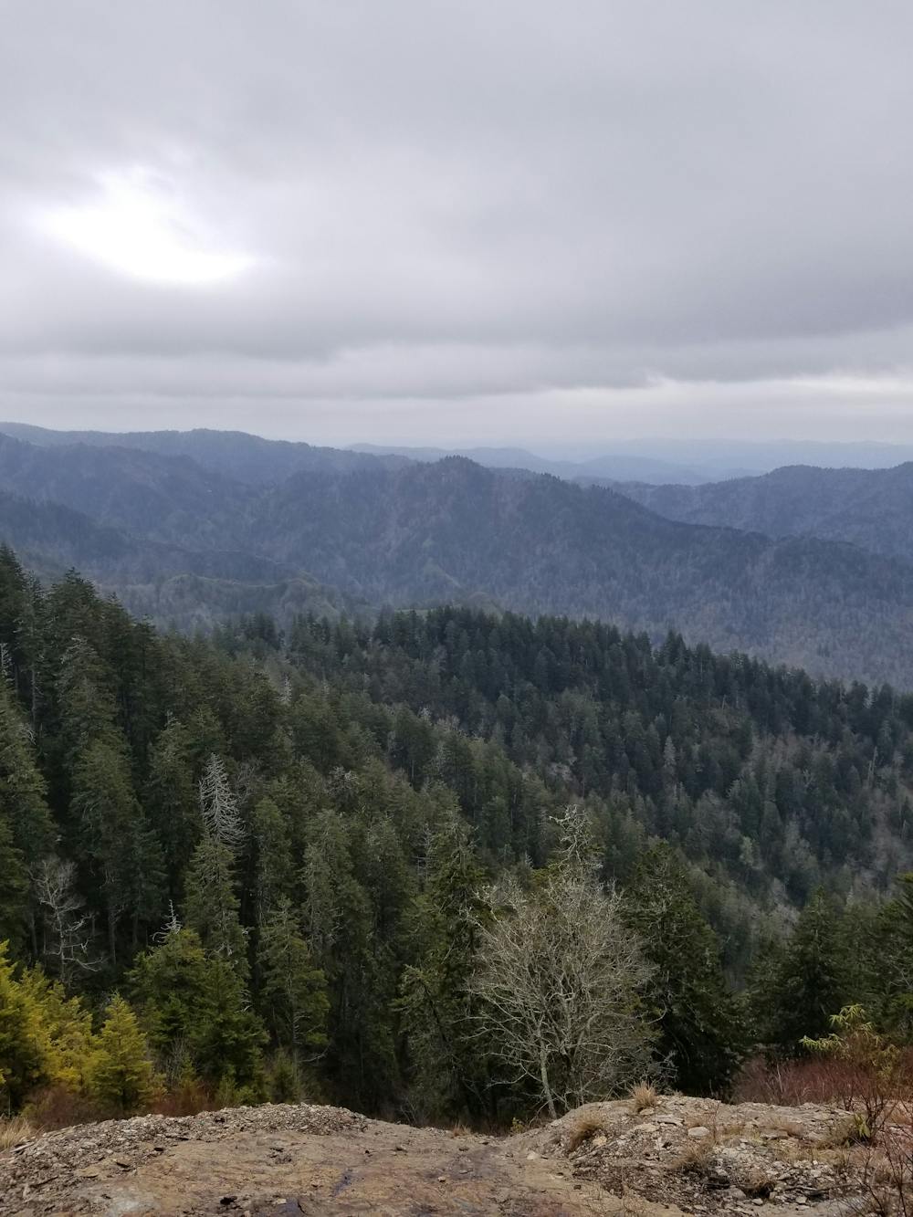
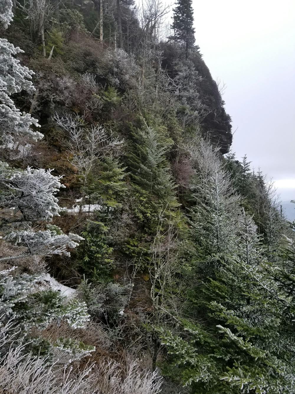
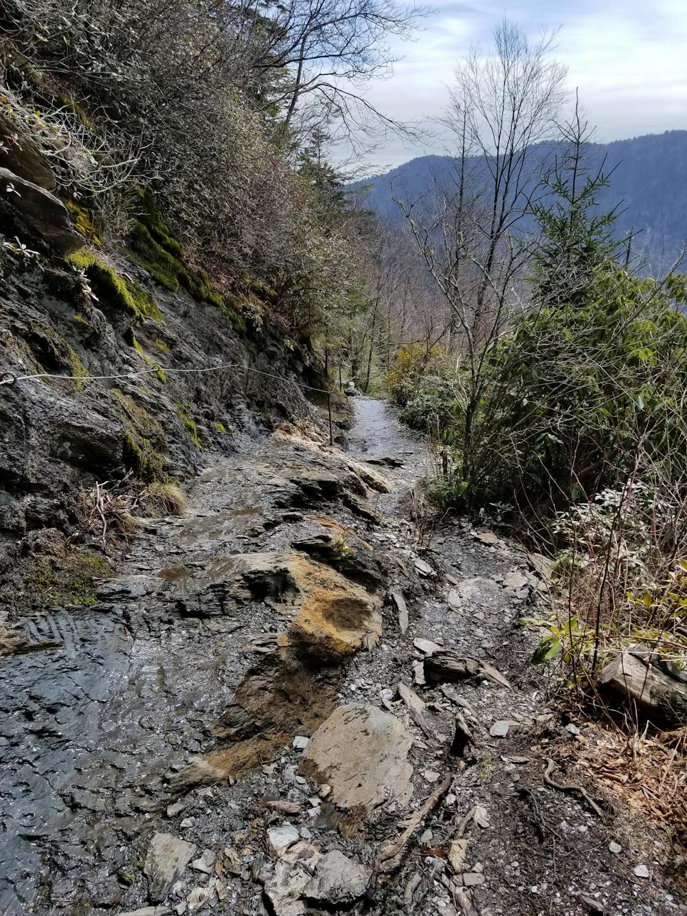
Ahead, you'll reach the halfway point to the summit at Gracie's Pulpit. As more vistas present themselves, several exposed bluffs and ledges begin to form the path as the trail ascends into the higher altitudes. Cables have been installed at many points to help hikers traverse the more dangerous sections. At times, the drop-offs can be quite steep.
When Alum Cave Trail ends, keep right to continue to the official high point on the mountain. A short side trail leads to the popular Mount LeConte Lodge, which claims to be the "highest inn providing lodging for visitors in the Eastern United States."
While many turn around here, the true summit is located further up the trail. The quickest way to snag some views is by summiting Cliff Top, one of Mount LeConte's subpeaks.
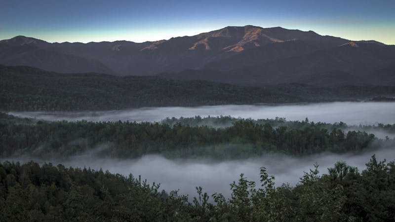
The highest subpeak, and the official summit of the hike, is commonly referred to as High Top. At 6,593', Mount LeConte places 3rd of the highest peaks in the National Park, closely following Clingmans Dome and Mount Guyot. Though there is no official viewpoint, a large cairn denotes the official high point and the final destination of your hike.
Sources: https://en.wikipedia.org/wiki/MountLeConte(Tennessee) http://www.hikinginthesmokys.com/lecontealum.htm
Difficult
Hiking trails where obstacles such as rocks or roots are prevalent. Some obstacles can require care to step over or around. At times, the trail can be worn and eroded. The grade of the trail is generally quite steep, and can often lead to strenuous hiking.

Some trail sections have exposed ledges or steep ascents/descents where falling could cause serious injury.
Little chance of being seen or helped in case of an accident.
1.8 km away
Steep climb to a popular viewpoint near a craggy summit.
Difficult Hiking
3.2 km away
The second half of the Great Smoky Mountains National Park.
Difficult Hiking
5.7 km away
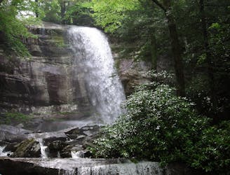
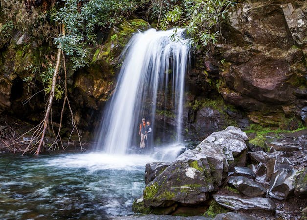
A short hike to a picturesque 25' waterfall that you can walk behind!
Moderate Hiking
6 km away
The Rainbow Falls Trail is a challenging, yet rewarding hike to the highest waterfall in the Smokies!
Difficult Hiking
9 km away
The western terminus for North Carolina's Mountains to Sea Trail.
Difficult Hiking
9 km away
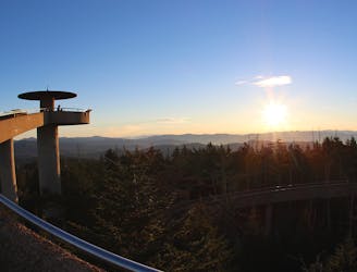
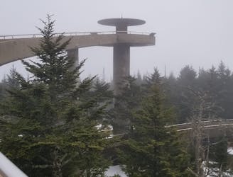
Paved path to an observation tower at the highest point in Great Smoky Mountains National Park.
Easy Hiking
9.7 km away
An epic 2 - 3 night overnight hike showcasing some of the best mountaintop views in the Smokies!
Severe Hiking

58 routes · Hiking
10 routes · Hiking

7 routes · Hiking

16 routes · Hiking

10 routes · Hiking
6 routes · Hiking
4 routes · Hiking