Harmon Den -> Max Patch Gravel Grind
A gravel ride to a beautiful bald mountaintop in the Appalachian Mountains.
Mountain Biking Easy
- Distance
- 25 km
- Ascent
- 798 m
- Descent
- 798 m
- Duration
- 2-3 hrs
- Low Point
- 611 m
- High Point
- 1.3 km
- Gradient
- 7˚

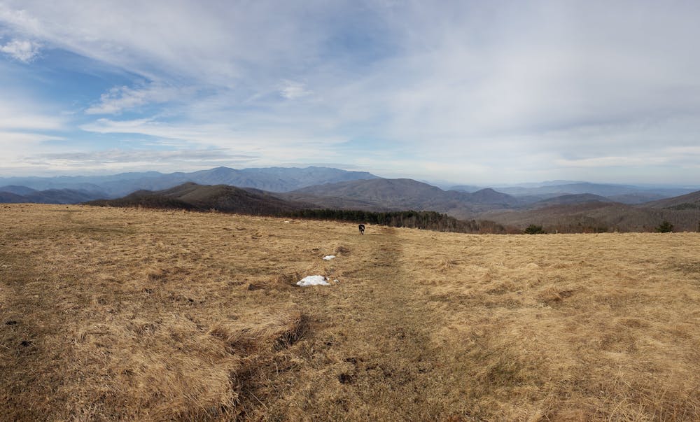
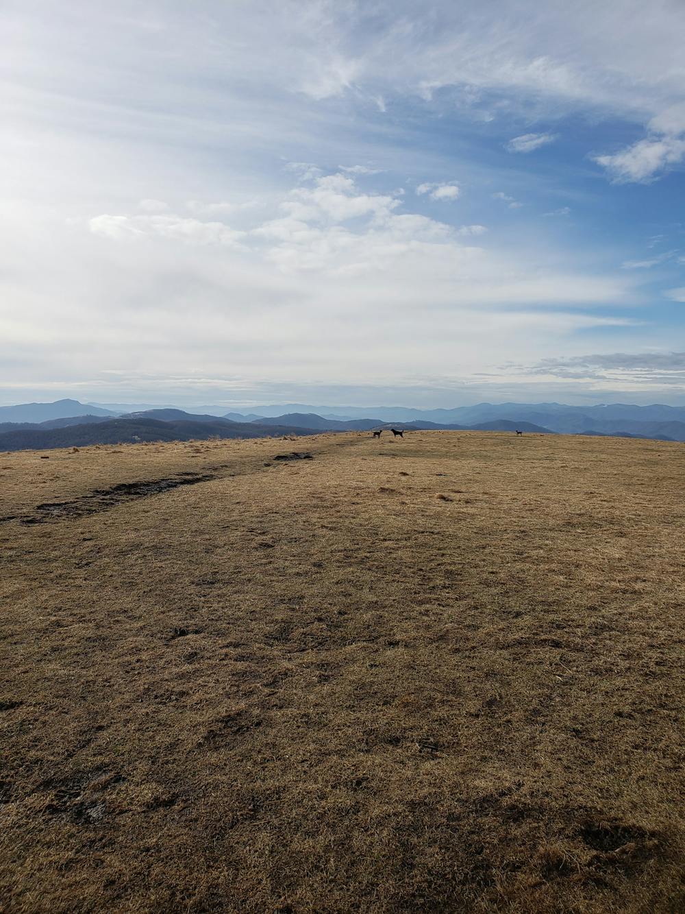
To Appalachian Trail thru-hikers, the views from Max Patch are some of the best you can find anywhere on the 2,200-mile trail. Starting at an exit on I-40, this gravel bike ride loops around the summit and is great as a day trip or overnight bikepacking trip. The bald summit paired with low light pollution makes the peak one of the best places to stargaze anywhere in the Appalachians.
- •
- •
Description
According to this article by The Mountaineer, "this amazing area was cleared and used historically as a pasture for cattle and sheep back in the 1800's. In the 1920's, there was even a landing strip for airplanes offering thrill rides."
The ride begins at a pull-off on Cold Springs Creek Road off Interstate 40. Both east and westbound travelers can exit—simply look for the signs leading to Harmon Den. The best option for parking is near the information kiosk after the first bend in the road. You could also head further up and begin at any of the pull-offs or campsites you find along the way.
The route is best-ridden counter-clockwise, riding up Cold Springs Creek Road then turning left on Max Patch Road. A simple out-and-back is common, or you could return via Brown Gap Road (as mapped) for a change in scenery.
Sources: https://www.theoutbound.com/north-carolina/backpacking/hike-from-max-patch-to-hot-springs-n-c
Difficulty
Easy
Mostly smooth and non-technical singletrack with unavoidable obstacles 2in/5cm tall or less. Avoidable obstacles may be present. Ideal for beginner riders.