5 routes · Gravel Biking
One of Austin's newest greenbelt trails.
Gravel Biking Easy

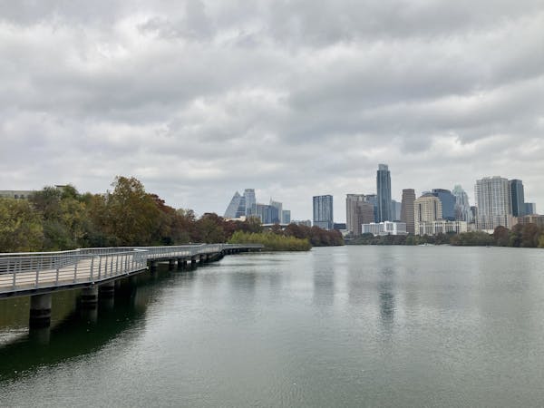
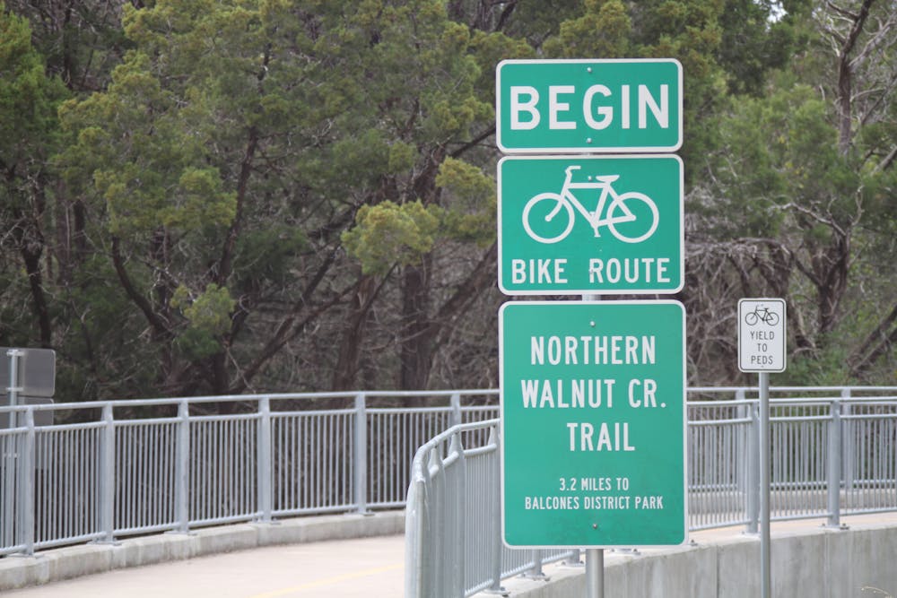
The Northern Walnut Creek Greenbelt Trail is a short but scenic route north of downtown Austin, Texas. The route shown here is a 6.8-mile lollipop, which can be shortened if you so desire. The route begins from Walnut Creek Metro Park, which is itself a great spot to hang out, picnic, and recreate.
This trail also connects to multiple singletrack trails, so if you feel like spicing up your ride or hike with some narrow, rooty trails, feel free to take advantage of that option. See the "Walnut Creek Metro Park" mountain bike route for more information.
At the time of this writing in early 2023, construction is still ongoing on a new section of the Northern Walnut Creek Greenbelt, which will eventually provide an even longer route in this area.
Sources: AustinTexas.gov
Easy

Close to help in case of emergency.
5 routes · Gravel Biking