6.1 km away
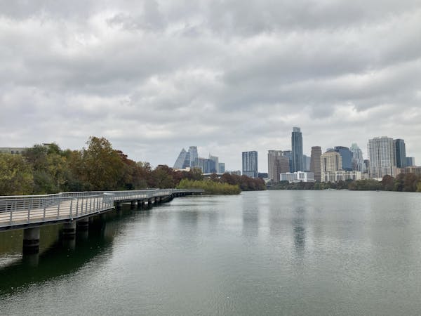
Lady Bird Lake Loop
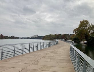
A fantastic loop around a beautiful lake in the heart of Austin
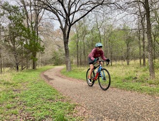
Easy Gravel Biking
- Distance
- 17 km
- Ascent
- 175 m
- Descent
- 175 m
One of Austin's original—and longest—greenbelt trails.
Gravel Biking Easy

The Southern Walnut Creek Greenbelt Trail is a popular paved path running through urban Austin, Texas. The first section of Southern Walnut Creek was one of the first urban greenbelt trails in Austin, but the bike path network in the city has since expanded dramatically. In fact, at the time of this writing in early 2023, construction is still ongoing on some of the northern sections of the Walnut Creek Trail.
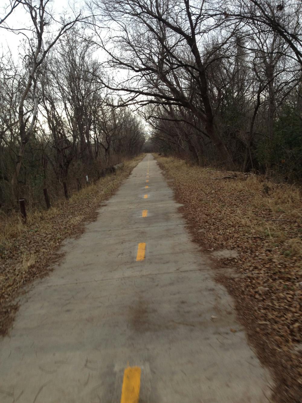
This paved greenbelt trail can be accessed from multiple locations, but the route shown here depicts a 21-mile out-and-back. It is, of course, easy to complete a shorter ride, hike, or run by turning around sooner. You can also connect to other trails in the area to create a much longer ride—see the guidebook titled "Explore the Greenbelts of Austin, Texas" for more greenbelt route ideas.
Sources: AustinTexas.gov
Easy

Close to help in case of emergency.
6.1 km away
A fantastic loop around a beautiful lake in the heart of Austin
Easy Gravel Biking
6.1 km away
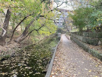
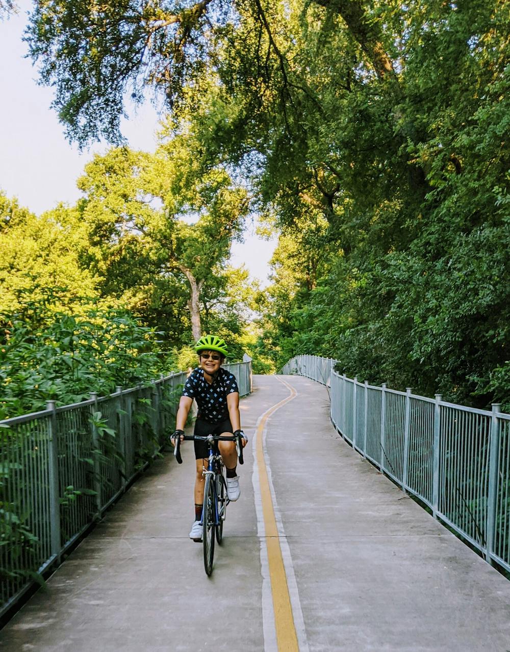
Traverse along a small creek and pass through serene parks, with skyscrapers towering overhead.
Easy Gravel Biking
9.1 km away
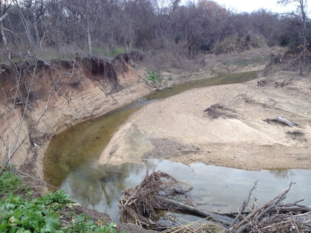
The Onion Creek Trail is a paved 3-mile loop through McKinney Falls State Park that provides a scenic jaunt through this beautiful forest found inside Austin's city limits.
Easy Gravel Biking
5 routes · Gravel Biking