1.7 km away
Shoal Creek Greenbelt
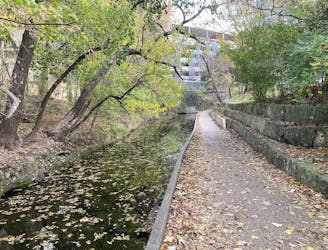
Traverse along a small creek and pass through serene parks, with skyscrapers towering overhead.
Easy Trail Running
- Distance
- 15 km
- Ascent
- 111 m
- Descent
- 111 m
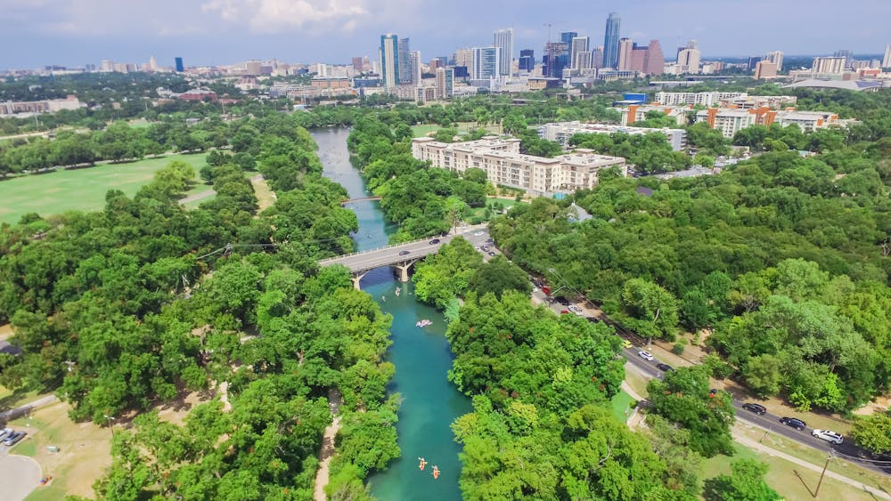
A beautiful greenway providing access to the best outdoor adventures in the heart of the city.
Trail Running Easy

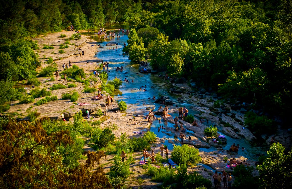
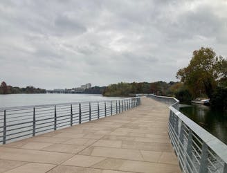
The Barton Creek Greenbelt is a paved greenway trail that runs about 7 miles one way through a beautiful park in Austin, Texas. While this greenway trail is itself an attraction and a great bike ride, hike, or run, it also provides access to innumerable adventures within the Greenbelt park. Mountain bikers, rock climbers, hikers, trail runners, and more flock to this area for a respite from the hustle and bustle of city life.
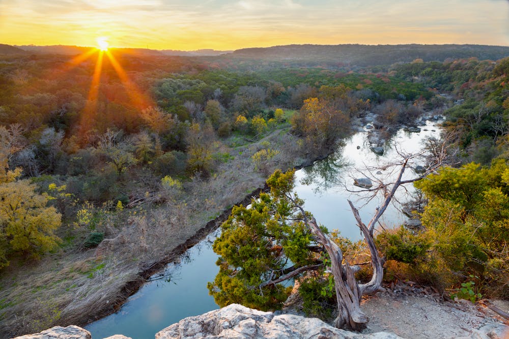
The route shown here is an out-and-back along the Barton Creek Greenbelt. It's possible to shorten this ride or hike by turning around sooner, and you can also extend it by connecting to other trails and greenbelts in the area.
Sources: AustinParks.org AustinTexas.org
Easy

The path is on completely flat land and potential injury is limited to falling over.
Close to help in case of emergency.
1.7 km away
Traverse along a small creek and pass through serene parks, with skyscrapers towering overhead.
Easy Trail Running
1.7 km away
A fantastic loop around a beautiful lake in the heart of Austin.
Easy Trail Running