
12 routes · Trail Running
A classic trail run in eastern Dallas County that parallels Rowlett Creek.
Trail Running Moderate

Rowlett Creek Preserve is one of the go-to areas for trail running in eastern Dallas County. Tucked between Garland and Rowlett, 14 stacked loops are spread between northern and southern sections, making it easy to come back time after time and enjoy a new route each visit. The trails are well-signed, easy to follow, and the mellow terrain on the southern sections makes for the perfect trail run, no matter your ability.
Heading south from the trailhead, runners can enjoy the loop clockwise, seen here, but may prefer to run it counter-clockwise if there is a lot of mountain biking traffic on the trail. That said, the trails are signed in a clockwise direction, meaning you would need to be comfortable with the loop in reverse.
Loops 2 through 6 compose the southern sections of the trail, and you have the option to cut back to the main trailhead after each loop is complete. In total, the entire run is just under 10k.
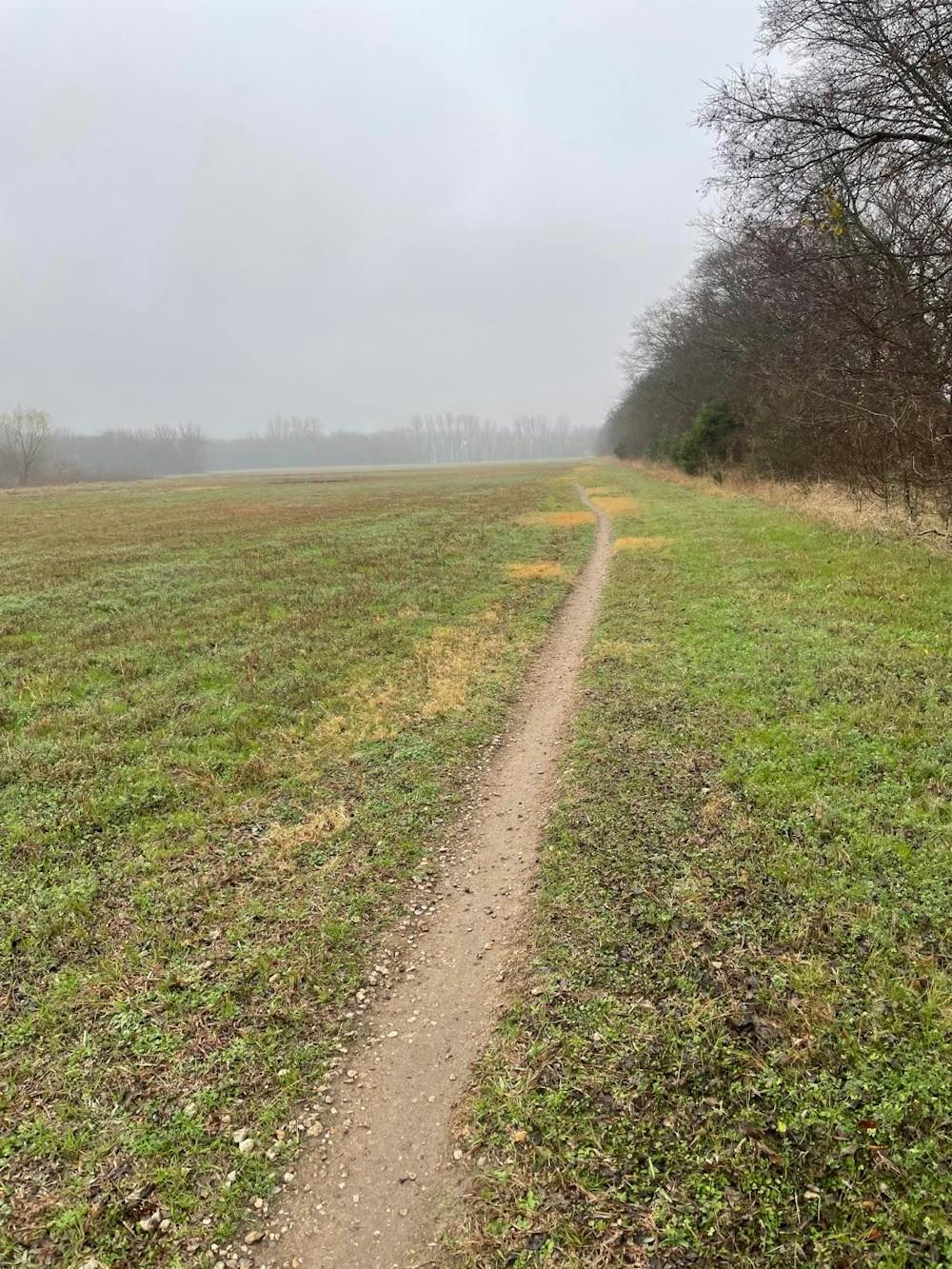
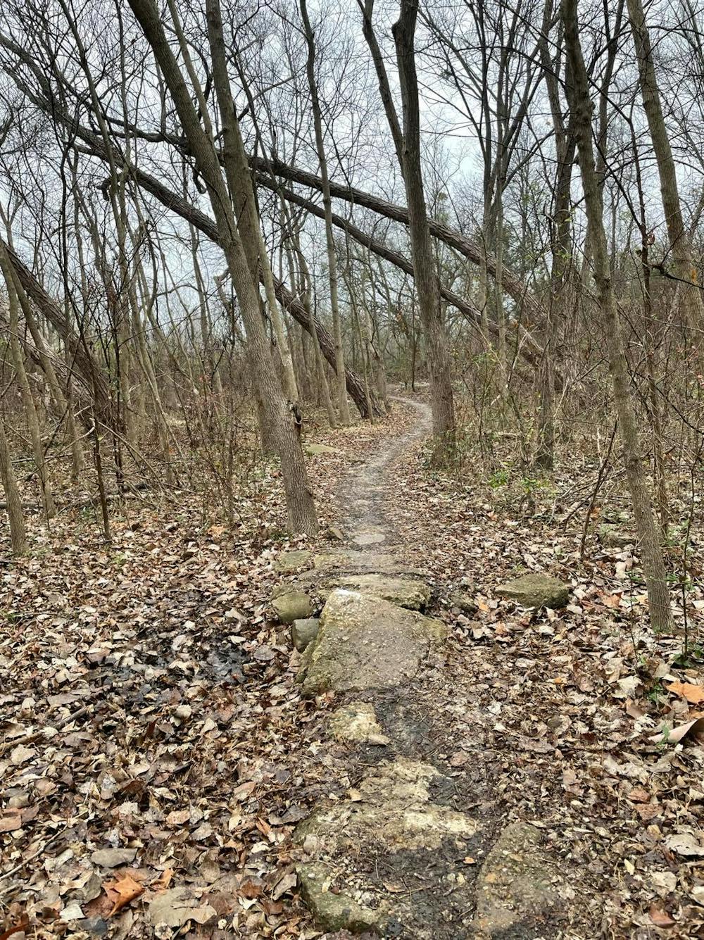
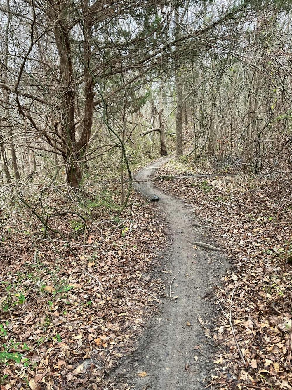
Most of the southern end of the trail is forested and lined with nothing more but roots and a few rocks. There are no steep climbs, technical descents, or tricky sections to navigate through. The southernmost trail, loop 6, passes underneath an elevated rail line then follows alongside a regional water treatment plant. While popular to run, the smell can be unpleasant during certain times of the year - especially after rain.
The trailhead for RCP is located off of Centerville Road between Firewheel Parkway and Lakeview Parkway. It's just a short drive from the George Bush Turnpike or Interstate 30, making it easily accessible for many of the surrounding suburbs. A bike tool station, water spigot, and portable toilets are available year-round, though the water may be turned off during the colder months. An open/closed sign is also placed at the trail kiosk, as the trails may close due to rain or flooding. After all, many of the southside loops run parallel along the edge of the creek.
Moderate

The trail contains some obstacles such as outcroppings and rock which could cause injury.
Away from help but easily accessed.
12 routes · Trail Running