5 m away
Fairyland Loop
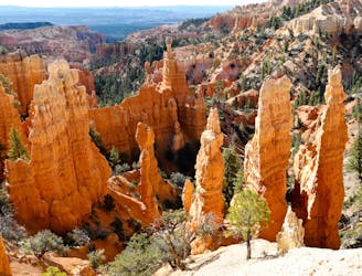
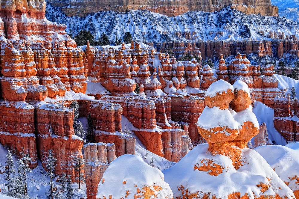
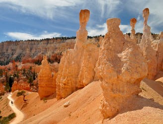
Let your imagination run wild among a maze of fantastically shaped hoodoos and other formations.
Difficult Hiking
- Distance
- 13 km
- Ascent
- 488 m
- Descent
- 488 m
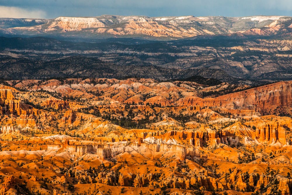
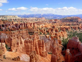
Take a short or long walk on the edge of the plateau, gazing over the entire Bryce Amphitheater from above.
Hiking Moderate

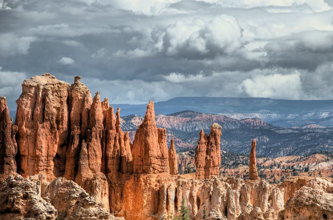
The Rim Trail is the best place in Bryce for viewing the formations with an easy hike. The park’s other trails drop steeply into the canyons, but the Rim Trail stays on top. It’s a wide path that hugs the airy edge of the plateau, granting nonstop views the entire way. From the rim, you’ll look down into the colorful labyrinth of spires and out toward distant mesas on the horizon.
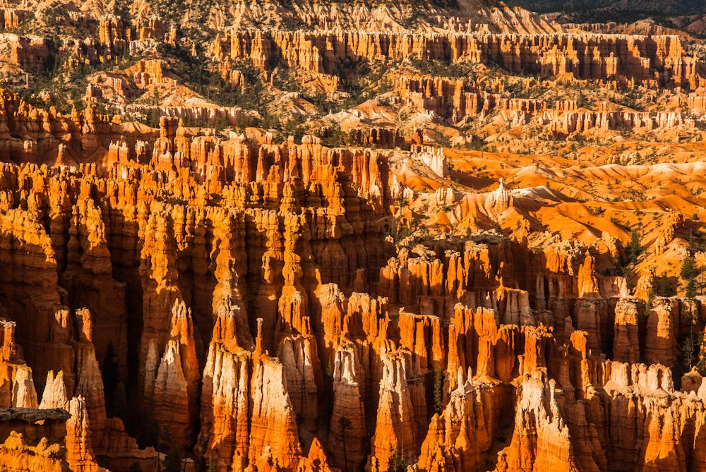
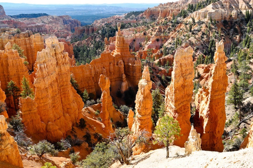
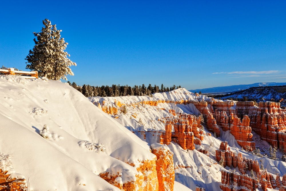
The full trail stretches 5.5 miles from Fairyland Point to Bryce Point, connecting all the major overlooks along the way. You could start from any of these and hike an out-and-back, or you could walk point-to-point and return with the park shuttle bus instead. Though the areas around the overlook parking lots are often crowded, a short walk along Rim Trail can quickly deliver a slice of the panorama all to yourself.
Sources: https://www.nps.gov/brca/planyourvisit/rimtrail.htm https://utah.com/hiking/bryce-canyon-national-park/rim-trail
Moderate
Hiking along trails with some uneven terrain and small hills. Small rocks and roots may be present.

The trail contains some obstacles such as outcroppings and rock which could cause injury.

Close to help in case of emergency.
5 m away
Let your imagination run wild among a maze of fantastically shaped hoodoos and other formations.
Difficult Hiking
2.5 km away
The most popular hike in Bryce Canyon National Park.
Easy Hiking
5.1 km away
Bryce Canyon’s premier backcountry trail, far from the crowds and with secluded campsites for backpackers.
Difficult Hiking
5.1 km away
Marvel at a feast of rock formations along this twisting loop through the best of Bryce Canyon.
Difficult Hiking

10 routes · Hiking
6 routes · Hiking

10 routes · Hiking
5 routes · Hiking

63 routes · Alpine Climbing · Hiking