1.5 km away
Gooseberry Trail

The shortest but steepest route from the mesa top to the White Rim Road.
Difficult Hiking
- Distance
- 6.2 km
- Ascent
- 469 m
- Descent
- 469 m
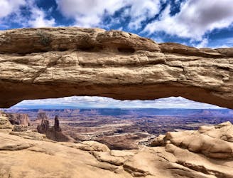
Enjoy a never-ending array of stunning views along this exposed hike.
Hiking Moderate

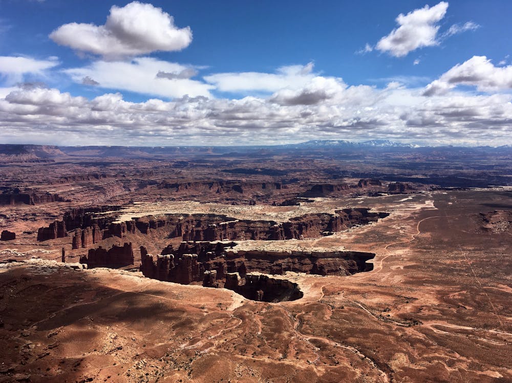
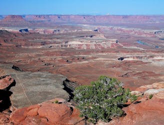
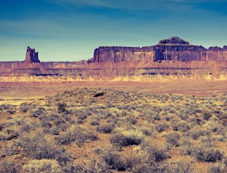
"Grand View Point offers a spectacular view of the Canyonlands area,” writes the NPS. "From the viewpoint at 6,080 feet elevation, you can see distant mountains, canyons, basins, and the White Rim Road.”
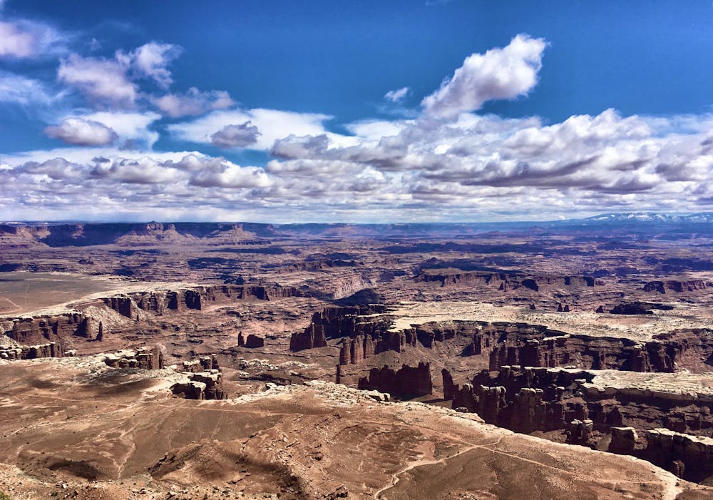
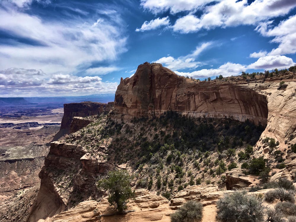
While most tourists simply get out of their cars to look off the towering rock rim, if you choose to add a little more adventure into your day, a stunningly-beautiful trail follows the rim to the tip of the point itself. While the hike looks mostly flat, climbing up and over blocky rocks on your way to the point actually requires a bit of time and energy. Be sure to bring a water bottle for the roughly 2-mile round trip hike.
Choosing to hike all the way out to the point provides a plethora of different angles to view the surrounding Canyonlands National Park. It’s astonishing what hiking a mile can do to transform the vista of the vast desert expanse that’s spread out below you. The trail also provides access to the opposite side of the point, with views in an entirely different direction.
While the hike is relatively approachable and non-technical, exercise caution when hiking close to the rim. The cliff drops hundreds of feet straight down, and a fall will definitely be deadly.
Moderate
Hiking along trails with some uneven terrain and small hills. Small rocks and roots may be present.

Some trail sections are extremely exposed where falling will almost certainly result in serious injury or death.

Close to help in case of emergency.
1.5 km away
The shortest but steepest route from the mesa top to the White Rim Road.
Difficult Hiking
4.9 km away
A relaxed hike to a breathtaking viewpoint over Canyonlands.
Easy Hiking
4.9 km away
A full-day trek from the Island in the Sky, down to the White Rim Road, and back up.
Difficult Hiking
8.8 km away
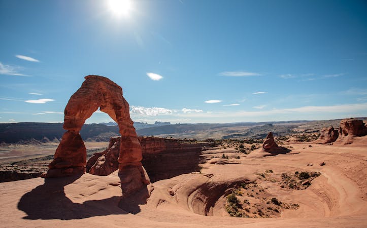
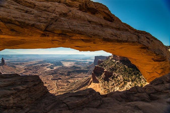
A short, easy hike to a stunning natural arch!
Easy Hiking
9.4 km away
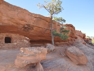
Short scrambles on two slickrock domes, with panoramic views and ancient ruins.
Moderate Hiking
14 routes · Hiking
8 routes · Hiking

10 routes · Hiking