1.3 km away
Aztec Butte
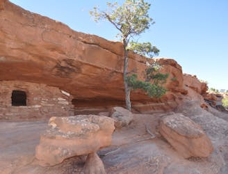
Short scrambles on two slickrock domes, with panoramic views and ancient ruins.
Moderate Hiking
- Distance
- 2.6 km
- Ascent
- 97 m
- Descent
- 97 m
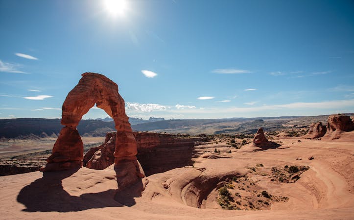
A short, easy hike to a stunning natural arch!
Hiking Easy

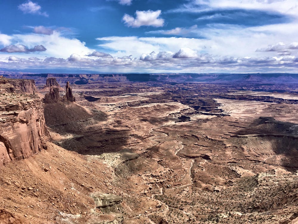
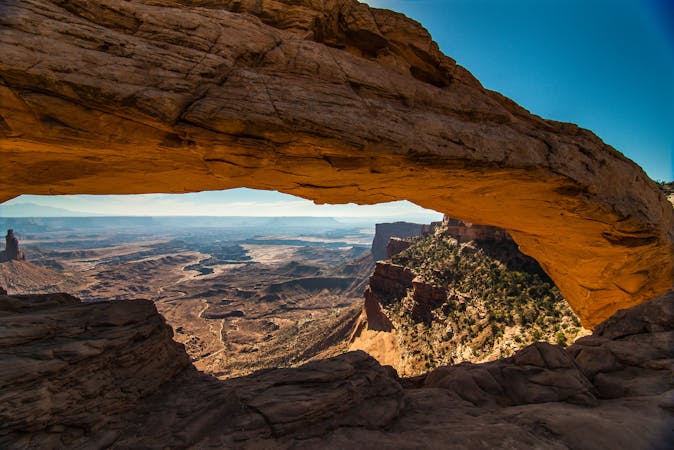
"Mesa Arch is a spectacular stone arch perched at the edge of a cliff with vast views of canyons, rock spires, and the La Sal Mountains in the distance," writes the NPS. This short loop to and from the arch forms an ultra-popular short hike in the Island in the Sky region of Canyonlands National Park. Made famous by social media, Mesa Arch perfectly frames the sunrise, with the rock glowing a rich gold color if you catch it at the perfect time.
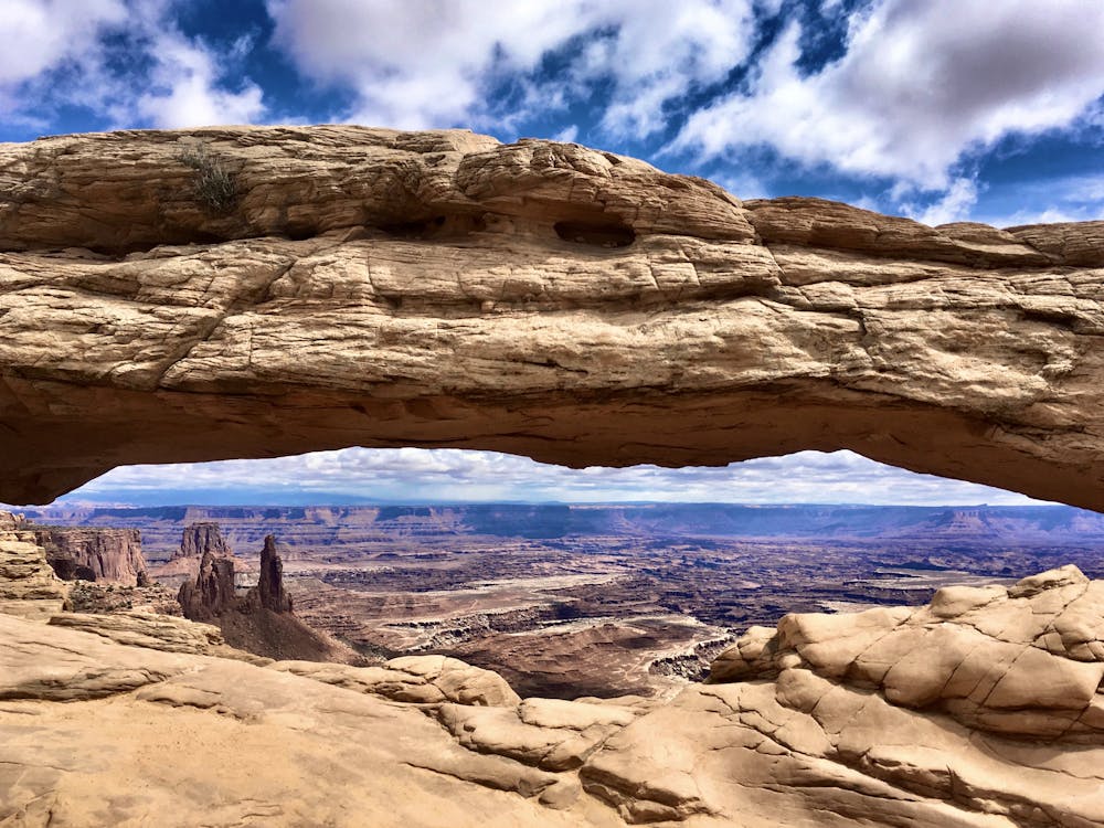

The trail to and from the arch is well-built, with stone steps to handle the small amount of elevation change. Almost anybody with any fitness level can cover the 0.7-mile round trip distance, especially if you're willing to take your time.
Once at the arch, take some time to soak in the beauty. While sunrise is easily the most popular time to photograph the arch, "throughout the day, the changing light and clouds over Mesa Arch make it an excellent photography spot," according to the NPS. "Any time of day can provide a variety of light and textures on the famous arch. Consider other angles and perspectives to get a different view."
As you hike to and view the arch, respect the fragile desert environment by staying on the trail and only stepping on hard surfaces. Whatever you do, make absolutely sure that you do not walk or climb on Mesa Arch.
Easy
Walking along a well-kept trail that’s mostly flat. No obstacles are present.

The trail contains some obstacles such as outcroppings and rock which could cause injury.

Close to help in case of emergency.
1.3 km away
Short scrambles on two slickrock domes, with panoramic views and ancient ruins.
Moderate Hiking
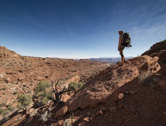
3.8 km away
A full-day trek from the Island in the Sky, down to the White Rim Road, and back up.
Difficult Hiking
3.8 km away
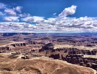
A relaxed hike to a breathtaking viewpoint over Canyonlands.
Easy Hiking
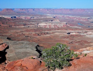
6.5 km away
A short but adventurous trail on sloping slickrock, to the rim of a giant and mysterious crater.
Moderate Hiking
7.5 km away
The shortest but steepest route from the mesa top to the White Rim Road.
Difficult Hiking
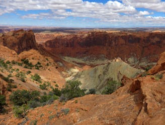
8.2 km away
A 6-mile loop with a high “Wow!” factor.
Moderate Hiking
8.8 km away
Enjoy a never-ending array of stunning views along this exposed hike.
Moderate Hiking
14 routes · Hiking
8 routes · Hiking

10 routes · Hiking