4.8 km away
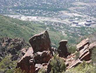
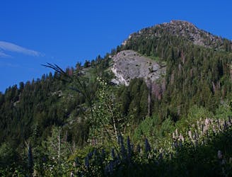
Grandeur Peak: West Ridge Route
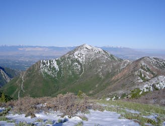
A short, steep hike to the summit of Grandeur Peak.
Difficult Hiking
- Distance
- 7 km
- Ascent
- 1 km
- Descent
- 1 km
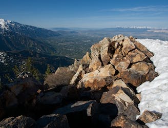
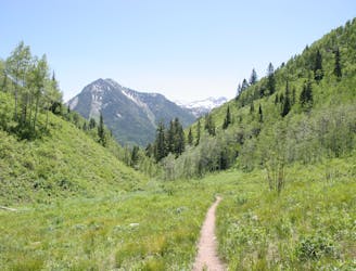
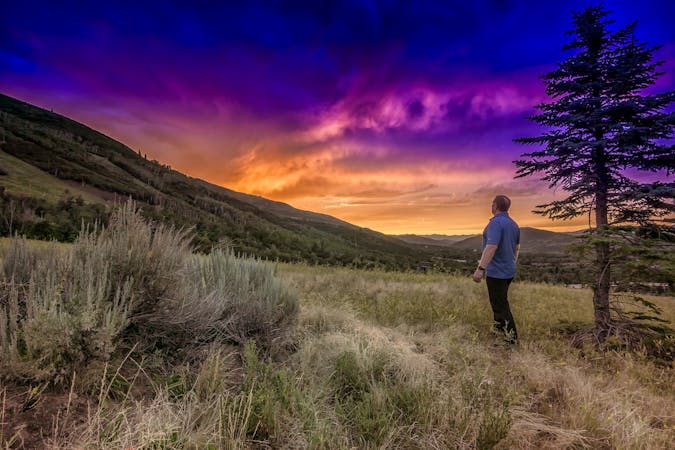
Desolation Trail to SLC Overlook
Hiking Moderate

This is a popular hiking route which is generally considered to be moderate. It's an unknown remoteness, it features unknown exposure and is typically done in an unknown time of year. From a low point of 1.7 km to the maximum altitude of 2.1 km, the route covers 10 km, 508 vertical metres of ascent and 508 vertical metres of descent.
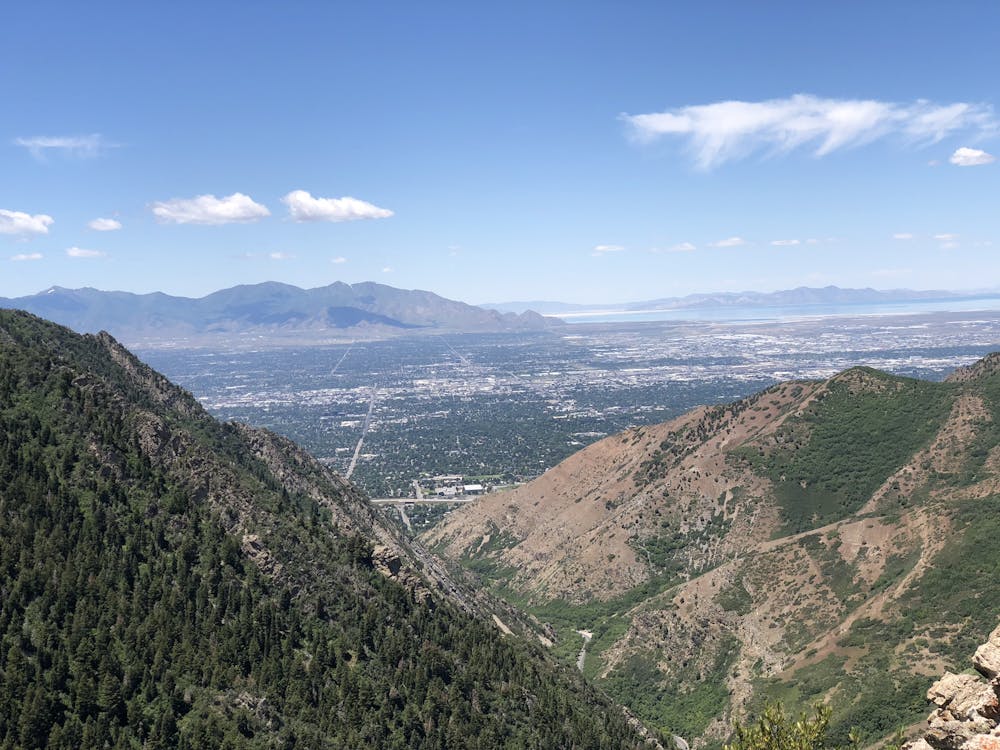
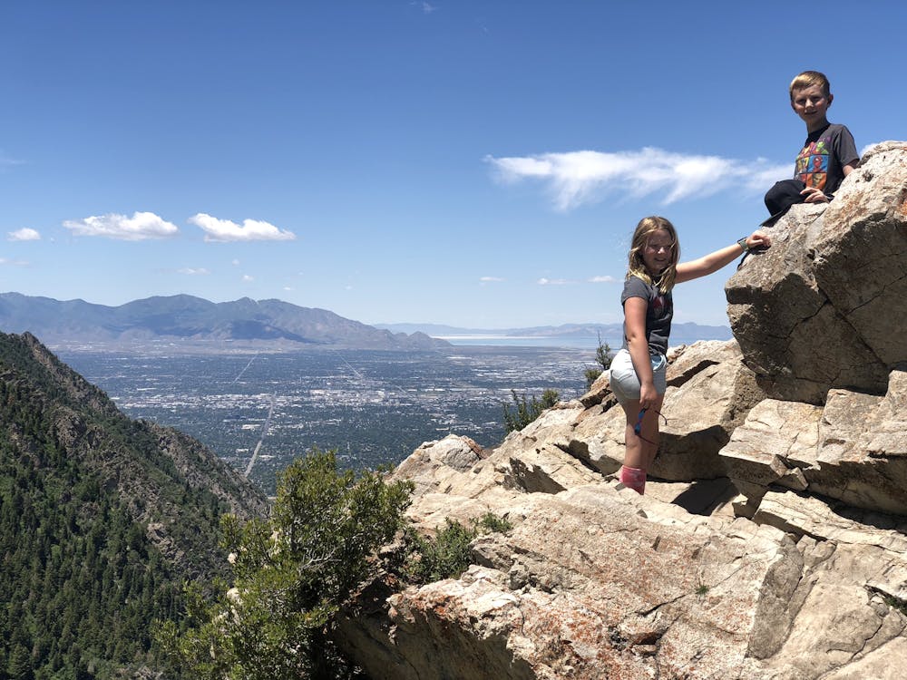
2.8 miles and around 1200 vert for a great view of the valley.
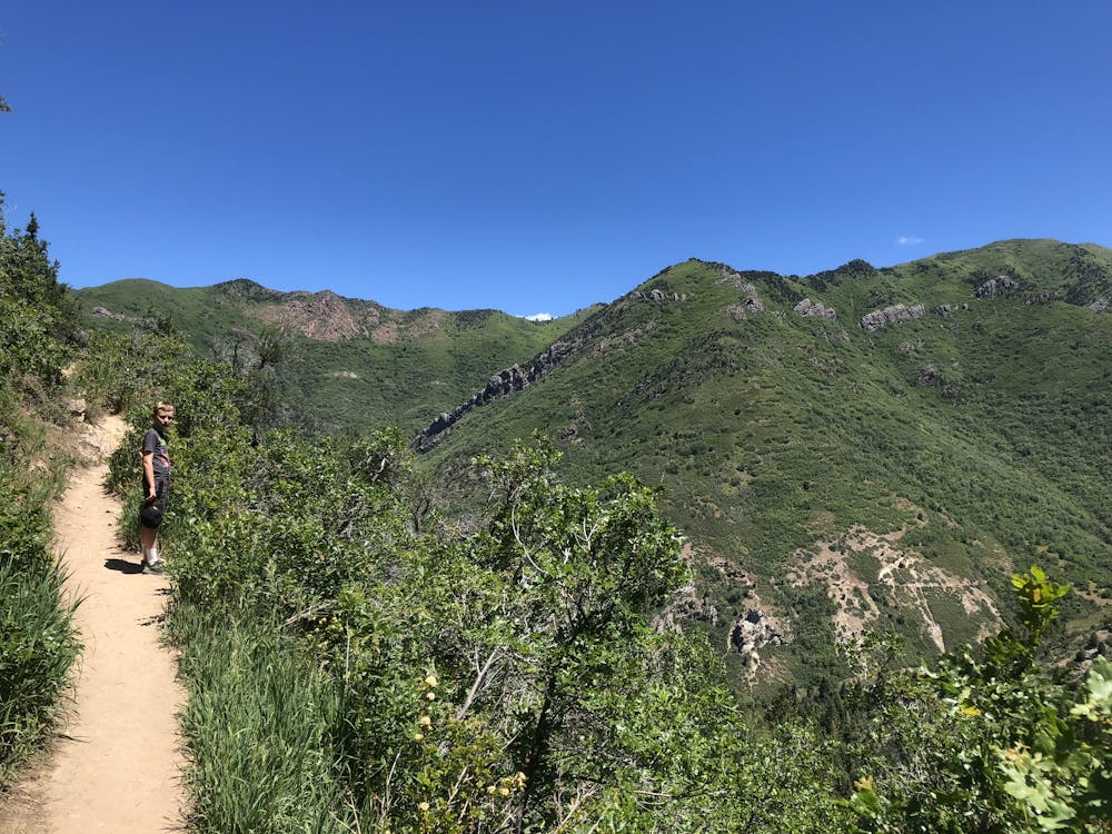
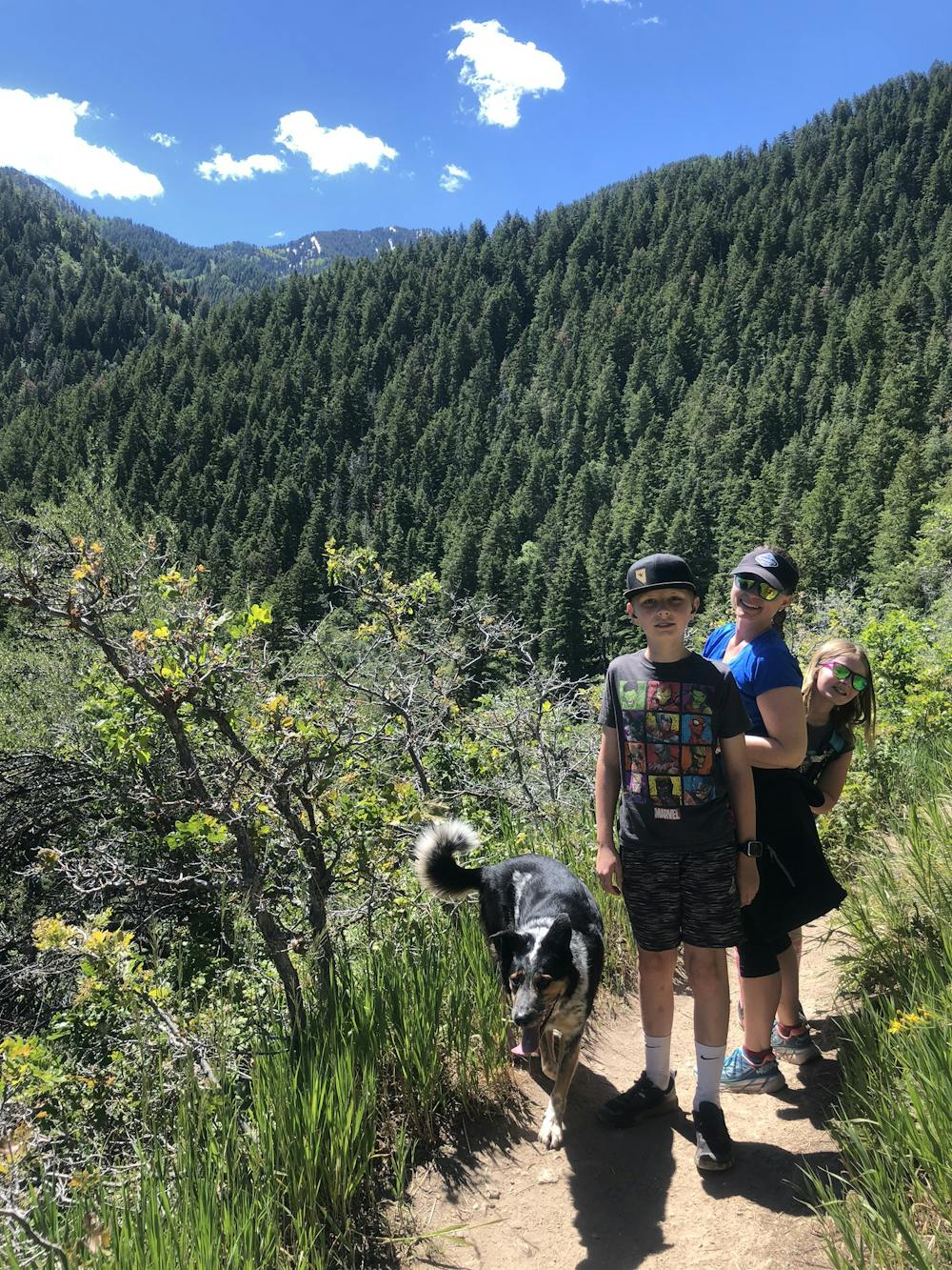
Moderate
Hiking along trails with some uneven terrain and small hills. Small rocks and roots may be present.
4.8 km away
A short, steep hike to the summit of Grandeur Peak.
Difficult Hiking
7.4 km away
The mighty Twin Peaks are the most visible and prominent mountains in the Wasatch front.
Extreme Hiking
7.4 km away
This is a moderate hike that gains access to one of the most scenic lakes in the Wasatch.
Difficult Hiking
7.4 km away
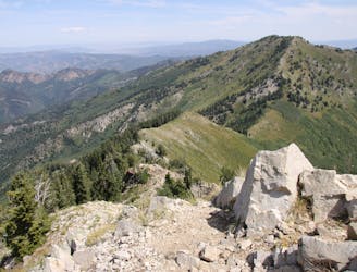
A steep hike through a forested canyon to a high pass, with the option to continue along the ridge to a panoramic summit.
Difficult Hiking
7.6 km away
Mount Olympus is one of the most visible and well known peaks along the Wasatch Front.
Extreme Hiking
8 km away
Short and easy hike right out of the valley. Great place to walk the dog, or enjoy the waterfall that's in existence through the spring and early summer.
Moderate Hiking
8.6 km away

The trail up Gobblers Knob is a Wasatch classic that offers moderate hiking through aspen groves and into the open alpine.
Difficult Hiking
8.6 km away
This is a 7 mile loop with 2,000 feet of elevation that passes through thick woods and opens up with breathtaking views across the canyon.
Difficult Hiking
8.6 km away
Mount Raymond is one of the tallest and most prominent peaks along the Big Cottonwood/Millcreek ridge.
Severe Hiking
9.5 km away
A very steep hike to one of the most prominent peaks in Big Cottonwood Canyon
Extreme Hiking
14 routes · Hiking

10 routes · Hiking

10 routes · Hiking

10 routes · Alpine Climbing · Hiking