1.8 km away
Corvair Shuttle
An easily-accessible shuttle route off of Guardsman Pass Road
Difficult Mountain Biking
- Distance
- 15 km
- Ascent
- 163 m
- Descent
- 788 m
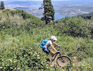
Sidehill singletrack ending at a big mine.
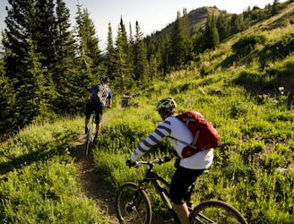
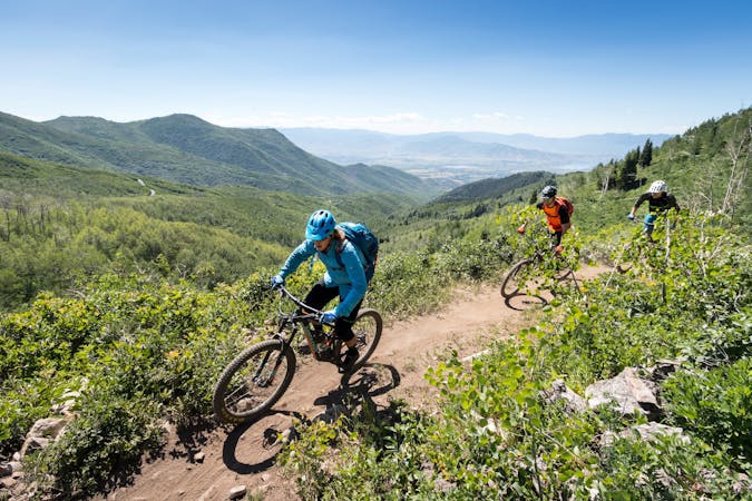
Mountain Biking Moderate

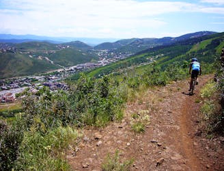
This is a popular mountain biking route which is generally considered to be moderate. It's an unknown remoteness, it features unknown exposure and is typically done in an unknown time of year. From a low point of 2.5 km to the maximum altitude of 2.5 km, the route covers 2.8 km, 45 vertical metres of ascent and 86 vertical metres of descent.
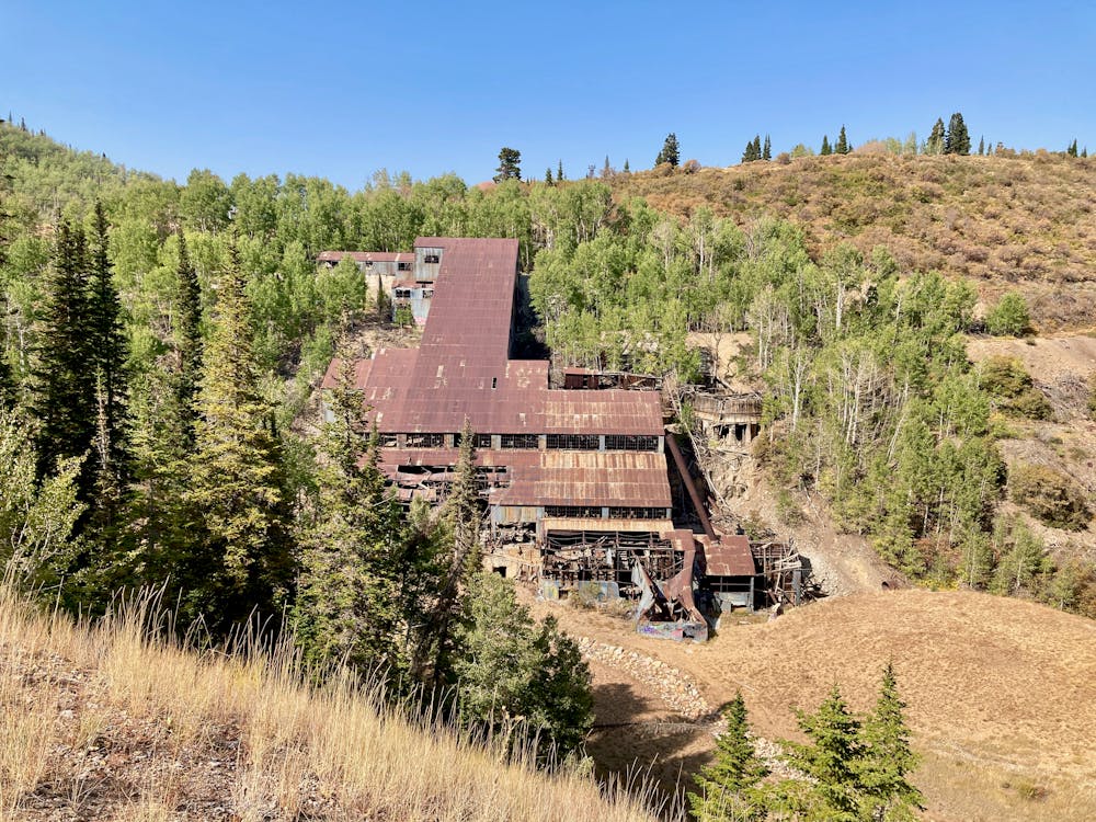
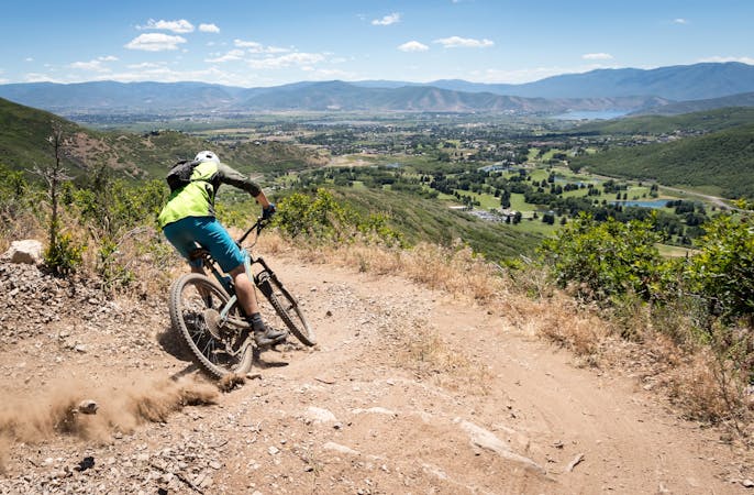
Beautiful, narrow singletrack running along a bench on the side of the mountain and ending at a big mine. This trail forms a great connector for several larger rides.
Moderate
Mostly stable trail tread with some variability, with unavoidable obstacles 8in/20cm tall or less. Other obstacles such as rock gullies and steep sections may exist. Ideal for lower intermediate riders.
1.8 km away
An easily-accessible shuttle route off of Guardsman Pass Road
Difficult Mountain Biking
2.9 km away

A double black diamond old school DH line
Extreme Mountain Biking
3 km away

Tidal Wave offers over 50 intermediate-friendly table top jumps
Difficult Mountain Biking
3 km away

Old school fall line DH riding at its finest.
Extreme Mountain Biking
3.2 km away
The WOW trail connects Park City with Midway and Heber City, making for both a great shuttle run and a pedal-driven connection.
Moderate Mountain Biking
3.3 km away
A favorite quick hit ride from downtown Park City.
Moderate Mountain Biking
3.3 km away
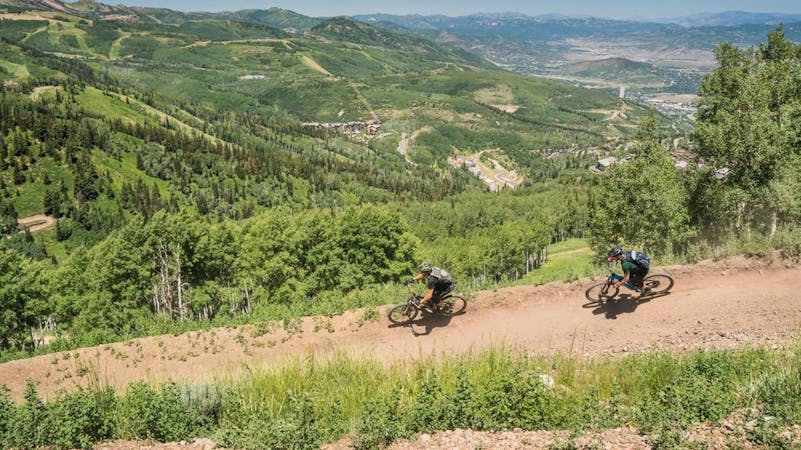
The complete point-to-point Mid Mountain route in all its glory.
Moderate Mountain Biking
3.4 km away
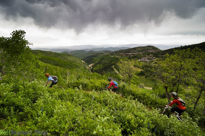
A pedal-driven loop of the Wasatch Crest Trail, using Pinecone to gain the ridge.
Difficult Mountain Biking
3.4 km away
One of Park City's most easily-accessible loop rides.
Moderate Mountain Biking
3.5 km away
An excellent contour singletrack trail that runs across the entire mountainside above Park City, connecting to dozens of other trails along the way.
Difficult Mountain Biking
10 routes · Mountain Biking
8 routes · Mountain Biking
6 routes · Mountain Biking
5 routes · Mountain Biking
8 routes · Mountain Biking

20 routes · Mountain Biking