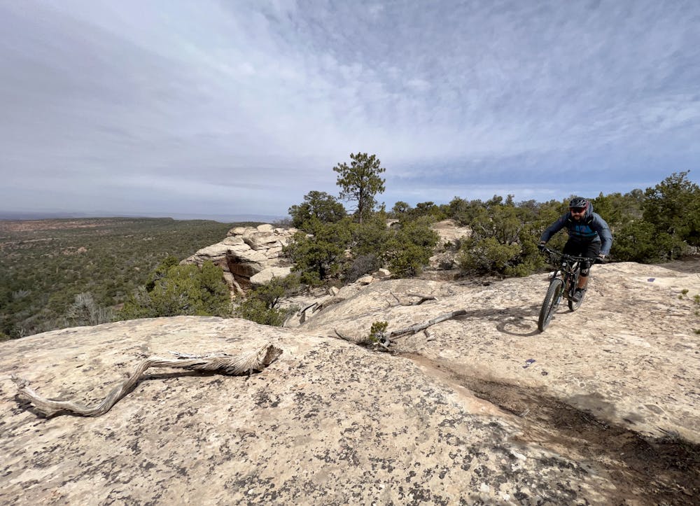
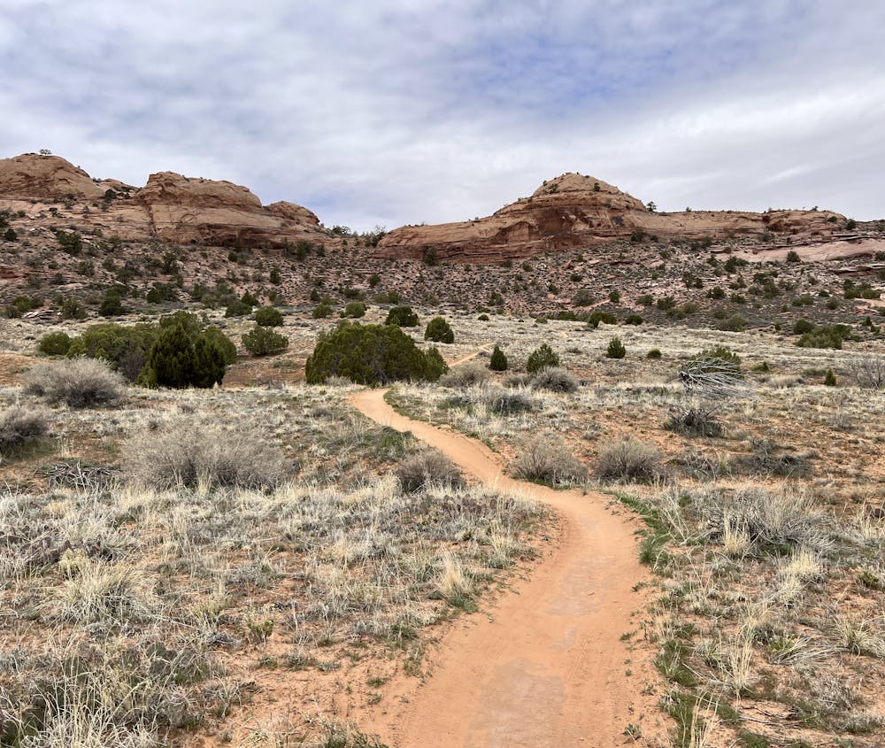
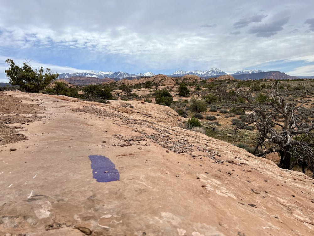
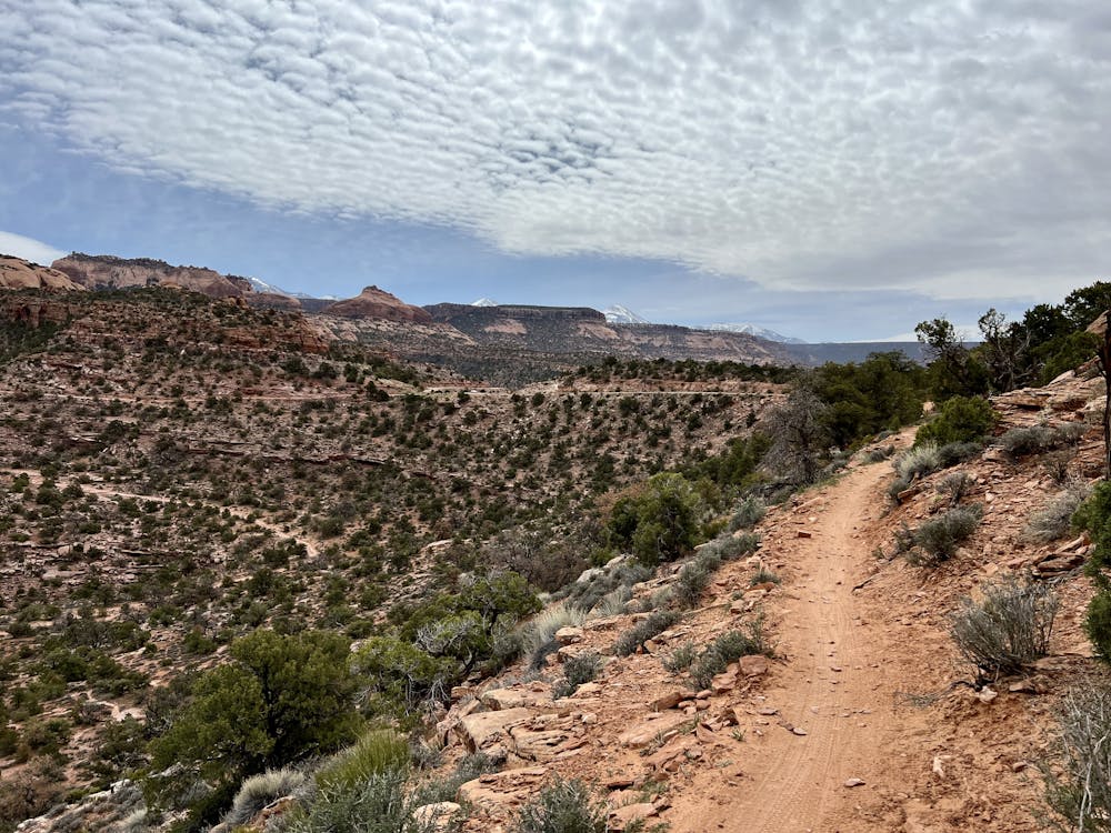
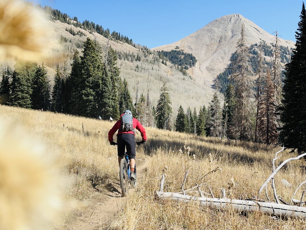
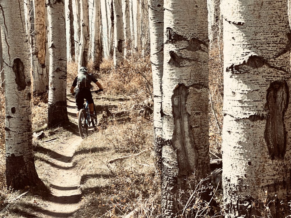
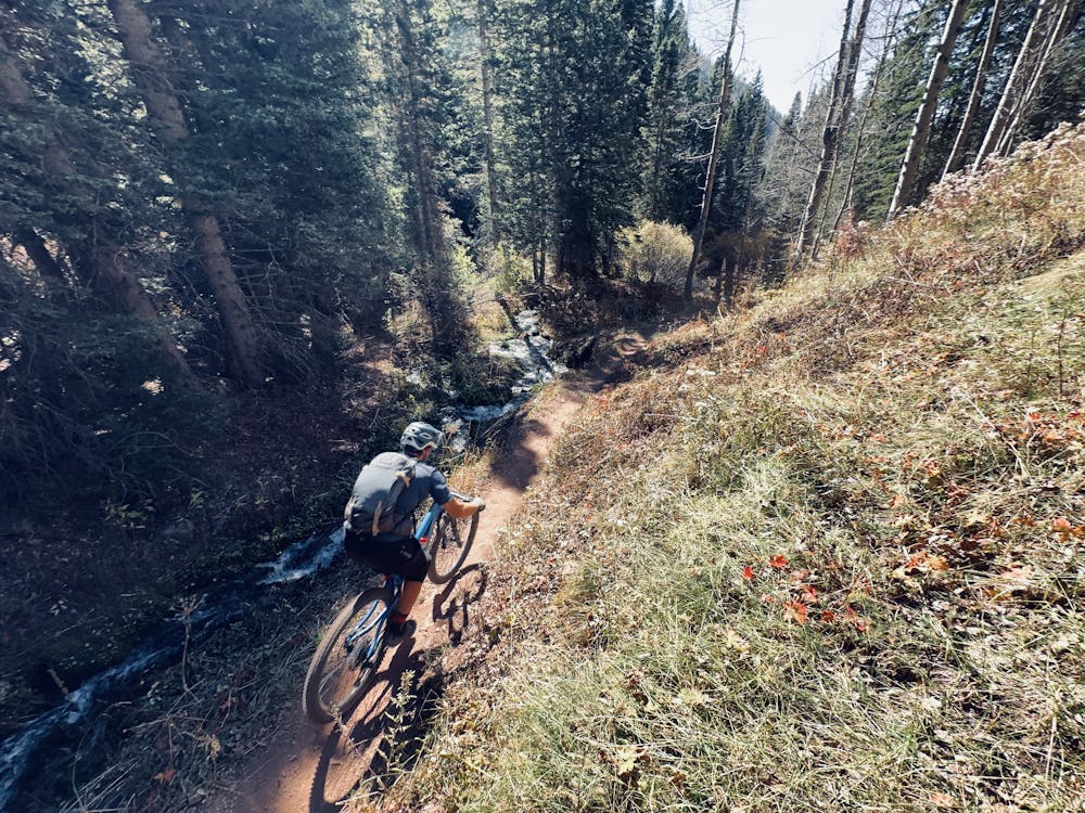
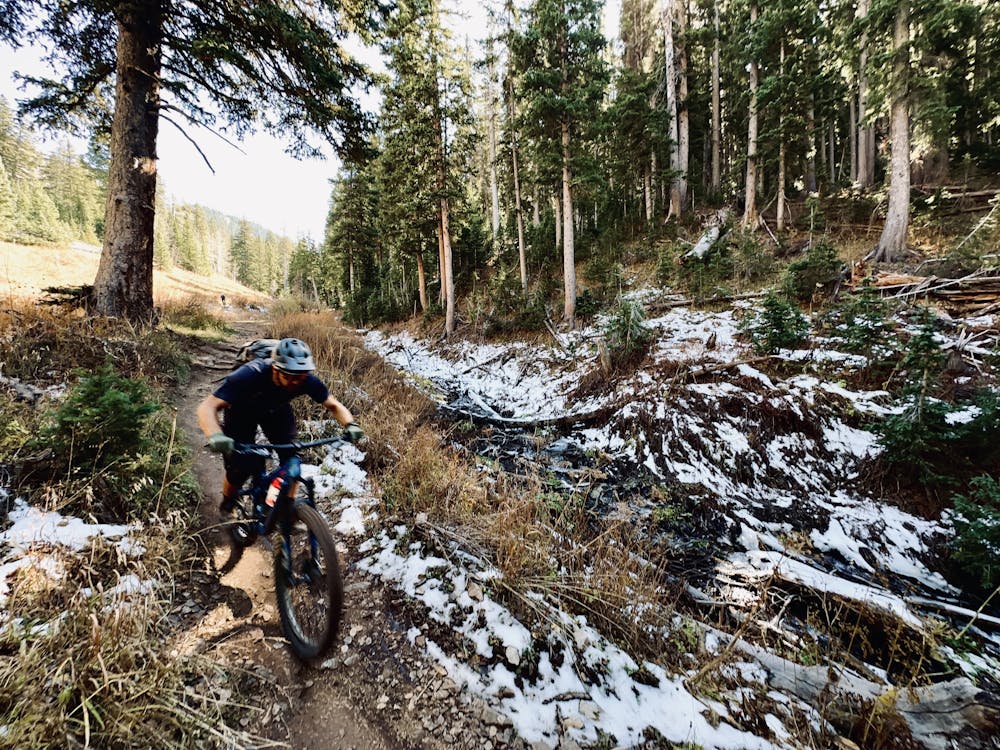
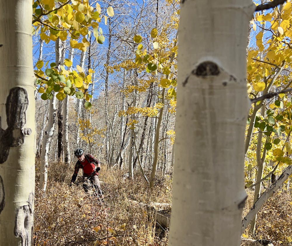
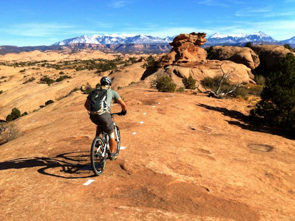
A big piece of the epicness puzzle is the diversity of this route. The Whole Enchilada passes through almost every climate zone imaginable. The top of Burro Pass, the route's high point, tops out just above the treeline in alpine tundra. The singletrack quickly drops back into the trees, swooping through a pine forest. Lower down, the pines switch to aspens, and then low scrub oaks. The vegetation switches to the high desert variety, with short pinion trees breaking up the landscape. By the time you make it to the Colorado River, the vegetation has all but disappeared, and you're riding through a low-desert environment.
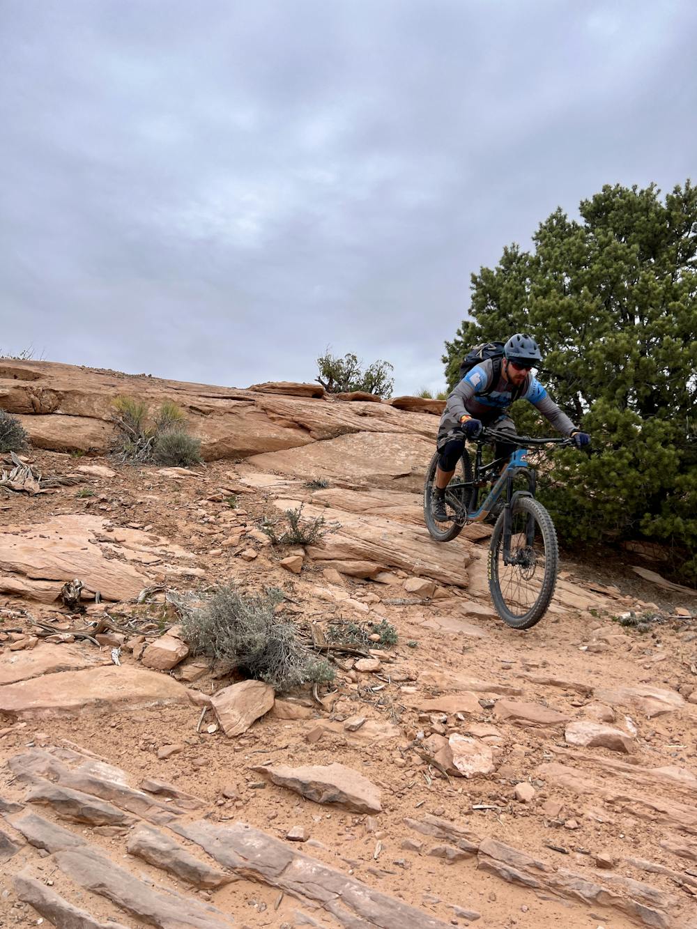
The singletrack itself that takes you from mountain top to river valley bottom is extremely varied, and always entertaining! From the shuttle drop, it's a tough grunt to the top of Burro Pass, requiring hike-a-bike for most riders. Once at the top of the Pass, it's all gravy--the singletrack drops steeply down through the trees on loamy black dirt mixed with rocks, swooping around well-built corners. While relatively technical and steep, there aren't any massive features here.
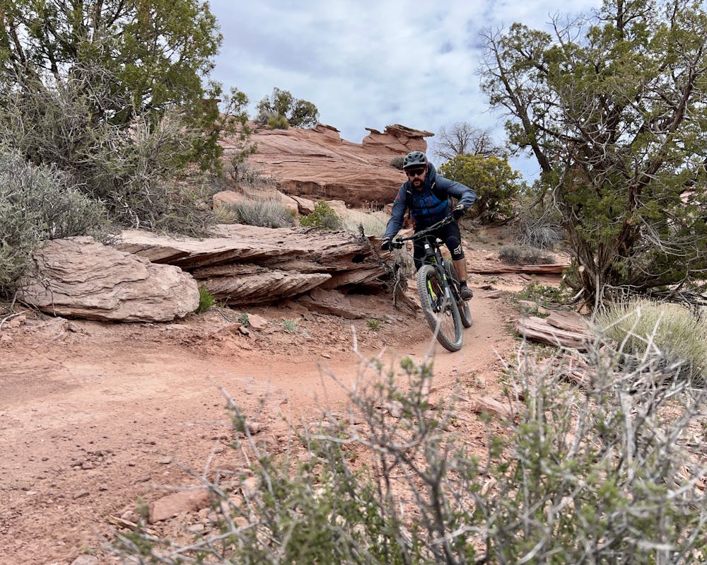
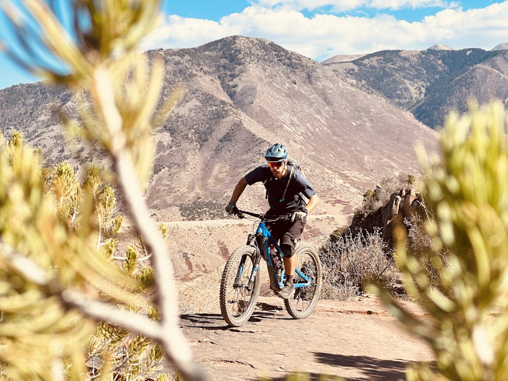
The character of the trail switches when it reaches Hazard County, changing into a flowy, swoopy descent with berms on almost every corner and optional jumps along the way. Early and late in the season, the shuttle companies (there are many to choose from in Moab) will drop riders at Hazard County. Sometimes they're only shuttling to UPS or Porcupine Rim, but the top of Hazard County is a common drop spot when Burro Pass is snowy.
After Hazard County, you have two choices: continue onto UPS -> LPS -> Porcupine Rim for the classic route, or head down the newly-built Raptor Route.
The Raptor Route
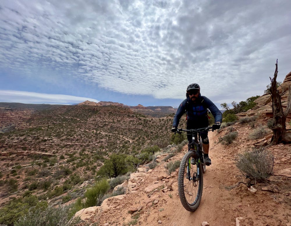
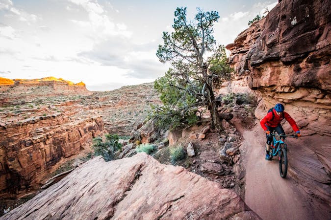
The Eagle Eye, Hawk's Glide, and Falcon Flow trails are the newest significant addition to the Moab mountain bike trail network and together are known as the "Raptor Route." The Raptor Route serves as a new finish to the iconic Whole Enchilada route. The Raptor Route comprises 10 miles of all-new singletrack descending into the Sand Flats Recreation Area.
The first stage to open was Falcon Flow, the longest of the three. The second stage was Eagle Eye, located at the top of the route. The third stage, Hawk's Glide, connects the previous two sections together, creating an almost continuous singletrack descent with just one short connection on the dirt road.
The goal of the Raptor Route is to give rides an easier way to finish the grueling Whole Enchilada route. The classic finish on Porcupine Rim "is extremely technical at a point where riders are often exhausted and dehydrated," according to Rachel Fixsen in the Moab Sun News. "Search and Rescue personnel have responded to many incidents on the Porcupine Rim trail, which is in a remote area," she continues.
"Have responded" is accurate but also a euphemism that covers up the seriousness of Porcupine Rim. While not all responses to Porcupine Rim have been due to fatalities, Porcupine Rim is quickly turning into one of the deadliest trails in Moab. Several mountain bikers and even a hiker have died on the trail, most of them due to dehydration, according to a series of articles published in local news outlets.
The local authorities hope that the addition of the Raptor Route will give mountain bikers an easier out if they realize they've bitten off more enchilada than they can chew. While riders already had the option to detour off the route and drop back to town on the Sand Flats Road, the prospect of losing most of your elevation on a dirt road is one that most mountain bikers will avoid... some, to their peril.
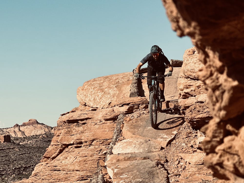
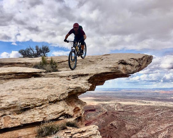
Even if you do bypass Porcupine Rim, the Raptor Route version of the Whole Enchilada is still no joke. The entire "easier" route still measures almost 32 miles long (to return to Poison Spider bike shop, a popular shuttle pickup spot) with over 2,260 feet of elevation gain and 8,780 feet of elevation loss. And if you've already ridden down the classic Burro Pass, the technicality isn't that much less, either. Burro Pass is steep and fast, with some loose rock gardens and slick root webs to negotiate. The Raptor Route version of the Whole Enchilada gets a "Severe" FATMAP rating compared to the classic's "Extreme." Raptor Route on its own, however, gets a "Difficult" rating.
Raptor Route Trail Character
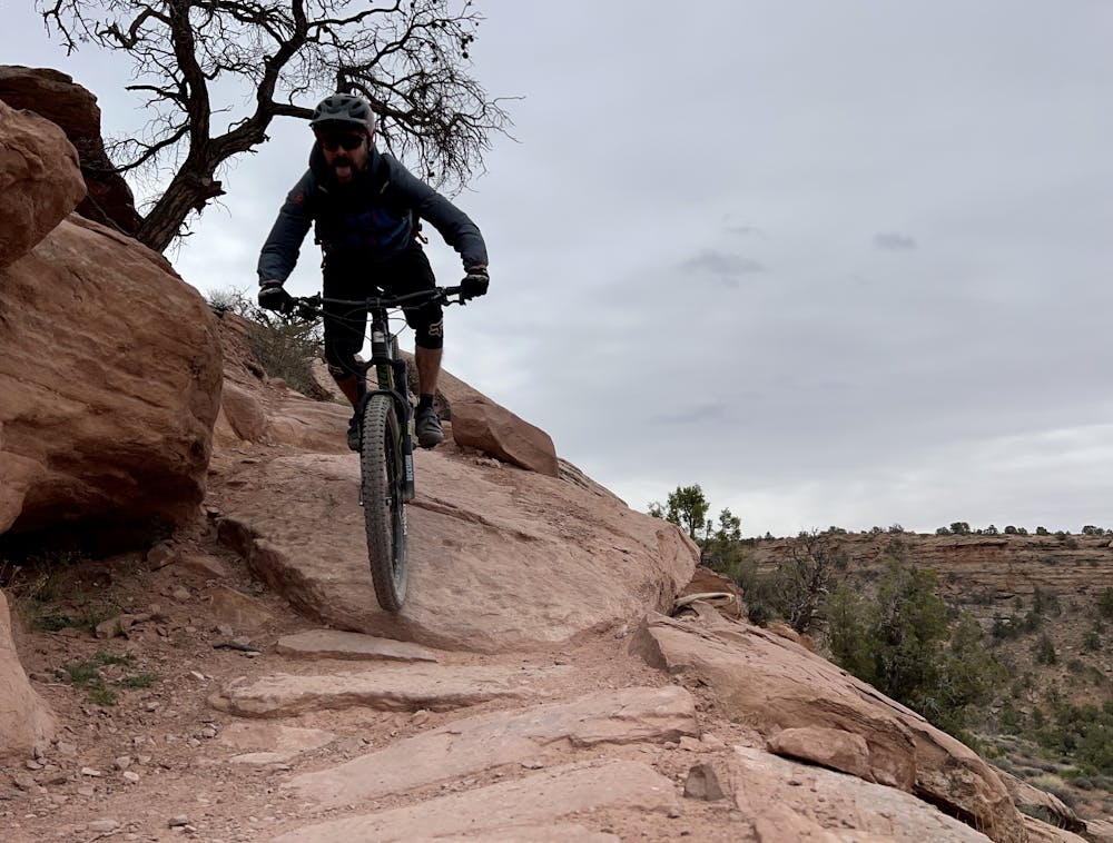
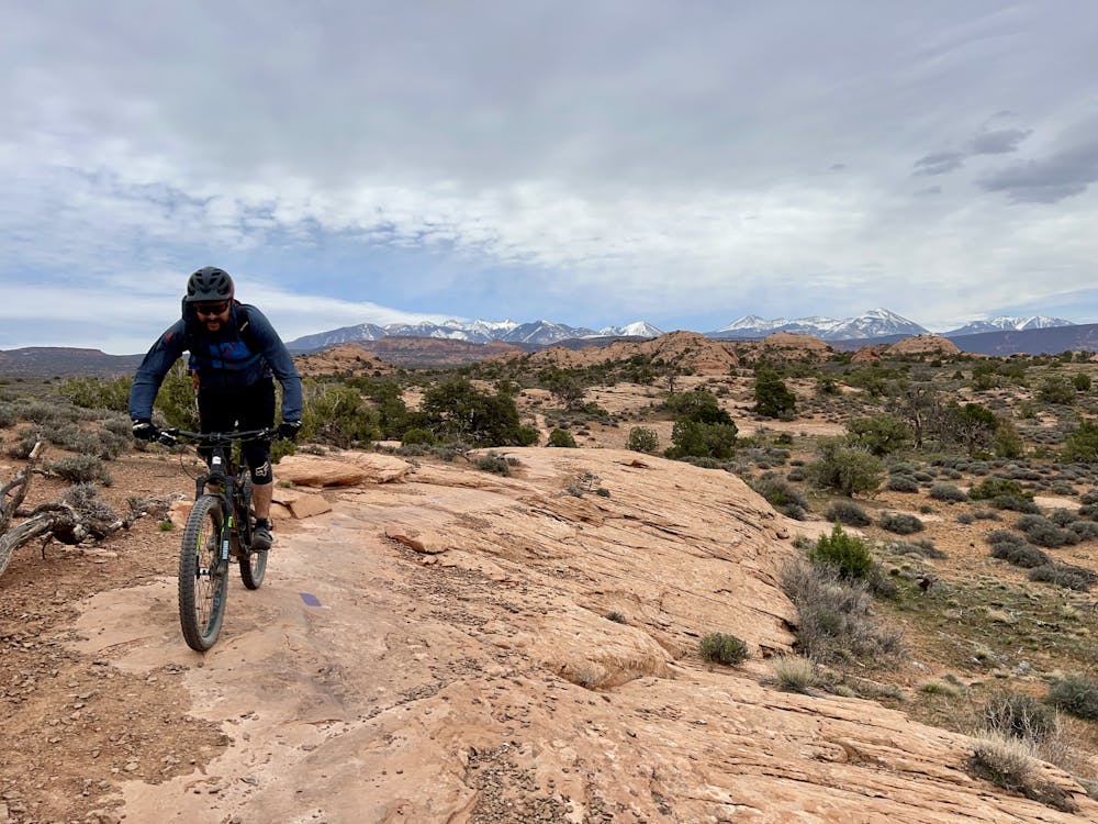
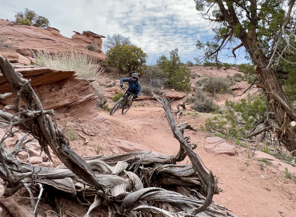
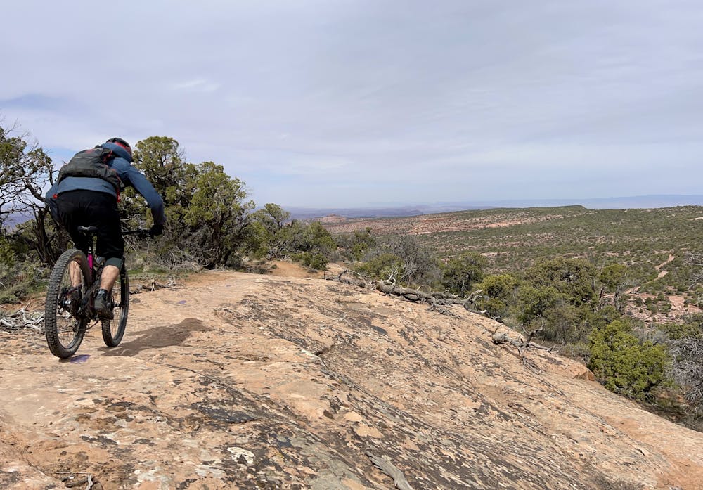
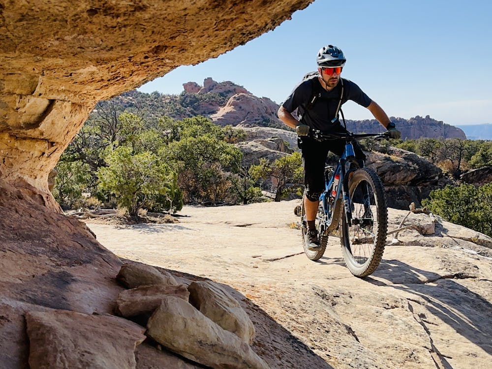
The Raptor Route trails provide a mix of flowy, narrow singletrack, rippled rock slabs, steep rock rolls, and the occasional rock garden. The riding here is dramatically easier than in many places in Moab, and especially than Porcupine Rim. Even so, the rock slabs and drops aren't beginner-friendly by any means, putting this route squarely in the intermediate category (at least, by Moab standards).
Despite how mellow some sections of the trail are, the swoop and flow are fantastically fun! You won't be able to wipe the smile off your face after finishing Eagle Eye and Falcon Flow!
Sources:
https://www.moabsunnews.com/news/article16ed7e70-2aaa-11eb-9354-7750ca329e4c.html
https://www.moabtimes.com/articles/new-falcon-flow-trail-complements-whole-enchilada/
https://www.moabsunnews.com/news/article52fa8e7e-e37d-11e8-a9f8-4b9844817a80.html
https://www.moabsunnews.com/news/articleb13edc80-6fea-11e8-8e68-5b795fdac4e4.html