
24 routes · Mountain Biking
A classic mountain bike ride offering views of Bryce Canyon's iconic hoodoos.
Mountain Biking Difficult

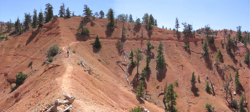
The Thunder Mountain Trail is a classic mountain bike ride that’s been around for decades, yet keeps attracting riders to come back again and again. Located just outside of Bryce Canyon National Park, this trail provides views of the stunning hoodoos, but on a bike-legal singletrack trail.
There are a few different ways to ride this trail, with both a shuttle and a loop option. The route mapped here depicts the loop option, but the upper trailhead provides a logical shuttle opportunity.
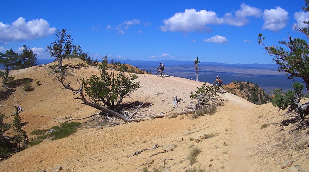
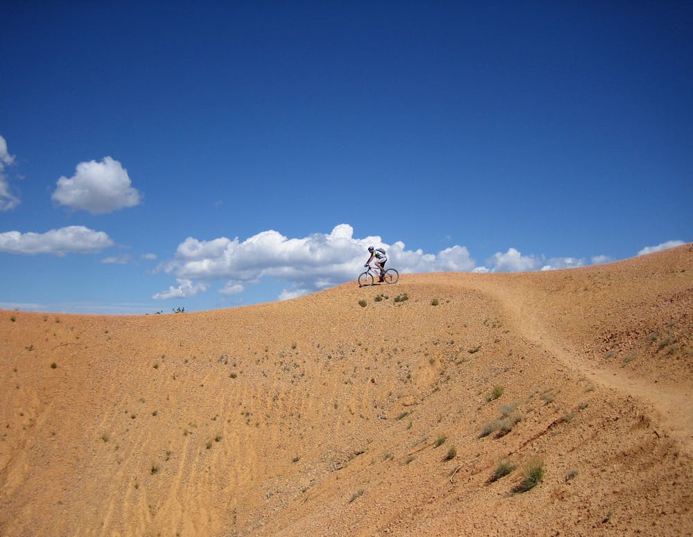
"The lure of Thunder Mountain Trail is in its undulating and playful hills, the Bryce Canyon-like hoodoos, and otherworldly vistas,” according to VisitUtah.com. "As you descend from Coyote Hollow, you’ll bike through a sparse forest of cedar and pine, then climb to open rock.”
Several sections of the Thunder Mountain trail roll along exposed dirt ridges, offering stunning photo opportunities. Once the singletrack turns downhill in earnest, hang on and prepare for a fast, steep descent, with a little chunk mixed in. The trail difficulty ranks as an upper intermediate descent, with some rough sections, rock gardens, and sections with loose, sliding dirt.
Thunder Mountain is a true classic! If you haven’t ridden it yet, you’d better add it to your list!
Sources: https://www.visitutah.com/things-to-do/mountain-biking/top-mtb-trails/thunder-mountain-bike-trail/ http://www.utahmountainbiking.com/trails/thunder.htm
Difficult
Mostly stable trail tread with some variability featuring larger and more unavoidable obstacles that may include, but not be limited to: bigger stones, roots, steps, and narrow curves. Compared to lower intermediate, technical difficulty is more advanced and grades of slopes are steeper. Ideal for upper intermediate riders.

Some trail sections have exposed ledges or steep ascents/descents where falling could cause serious injury.

Away from help but easily accessed.
24 routes · Mountain Biking