0 m away
Amasa Trail Race 25k
A ~15 mile spring trail race through vibrant red rock canyons, or a perfect year-round tour of Amasa Back.
Difficult Trail Running
- Distance
- 23 km
- Ascent
- 699 m
- Descent
- 699 m
A spring ~10k trail race through vibrant red rock canyons.
Trail Running Moderate

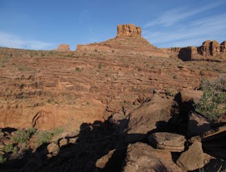
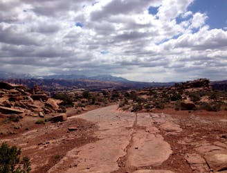
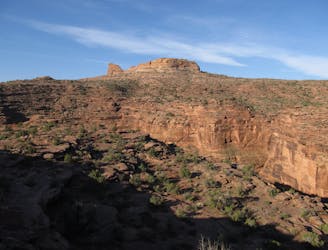
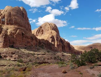
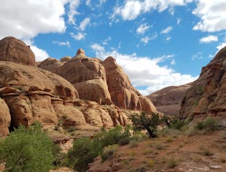
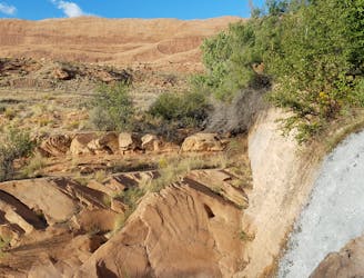
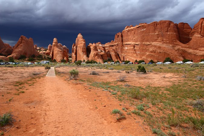
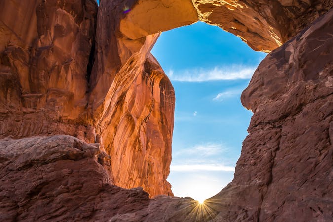
Presented by Mad Moose Events, the Amasa Trail Race is one of the best ways to explore "one of Moab's most prized trail systems." Held every spring, this beautiful course explores vibrant red rock canyons, ancient petroglyphs, and awards commanding views of the Colorado River At times, you can even snag some views of the distant snow-capped La Sals.

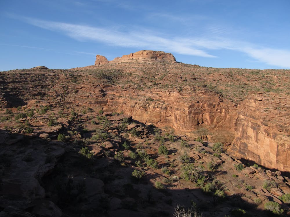
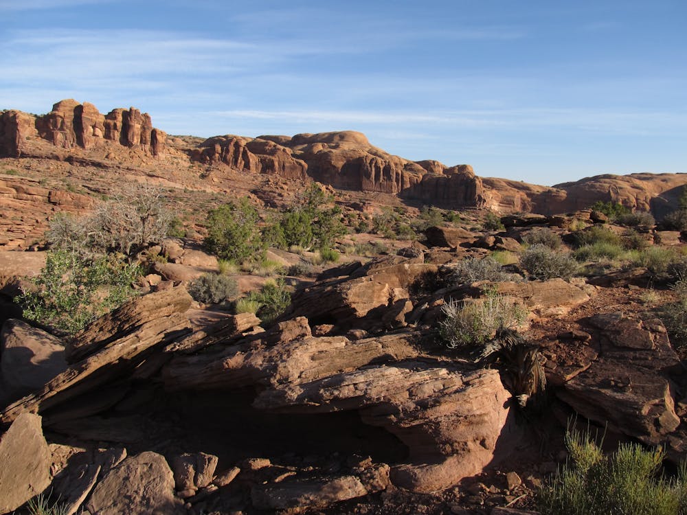
Whether you're in town to race or looking for a 1 - 2 hour trail run, this course is accessible year round and a great introduction to Amasa Back. While the loop begins along 4x4 jeep roads, they are far from easy. Expect plenty of slickrock, plus expansive views of Moab's red rock landscape.
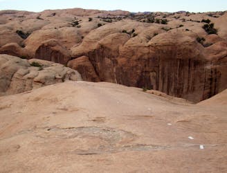
10.5k racers are faced with a stout 1,100' of climbing on the course, with no listed cutoff time. The final leg of the race is undoubtedly the most challenging, as runners follow the Jackson Trail along the Colorado River. At times, "there are many very steep sections, sharp corners, and narrow ledges with dangerous cliff exposure," according to gjhikes.com.
For this spring race, all distances begin at 8am at the Kane Creek Parking Area (labeled on some maps as Kane Springs). While the parking area is quite large, racers should consider carpooling from Moab for the event. Other than race day, there are no facilities and no water at the trailhead.
With average high temperatures in the low-70s and one aid station on course, 10.5k racers should have no problem running with only a small handheld water bottle. While top racers may finish in under one hour, the median finish time is typically near 90 minutes.
Sources: https://www.gjhikes.com/2016/03/jackson-trail.html https://www.madmooseevents.com/amasa-trail-race
Moderate

The trail contains some obstacles such as outcroppings and rock which could cause injury.
Away from help but easily accessed.
0 m away
A ~15 mile spring trail race through vibrant red rock canyons, or a perfect year-round tour of Amasa Back.
Difficult Trail Running
0 m away
An epic trail run pairing several classic mountain bike trails along the Colorado River.
Difficult Trail Running
2 m away
A spring trail race through vibrant red rock canyons.
Moderate Trail Running
93 m away
A half marathon trail race through vibrant red rock canyons just beyond the Moab Rim.
Moderate Trail Running
130 m away
A unique destination race with vibrant red rock canyons and pristine slickrock singletrack.
Difficult Trail Running
7.3 km away
An stunning trail run near town that ventures through a beautiful "hidden" valley.
Difficult Trail Running
8 km away
An adventurous trail run through a canyon with a waterfall, swimming holes, and ancient petroglyphs.
Moderate Trail Running
8.9 km away
An otherworldly trail running experience with endless views.
Difficult Trail Running
8 routes · Trail Running

3 routes · Trail Running
18 routes · Trail Running