0 m away
Appalachian Trail: US-4 to Hanover
A easily shuttled stretch of the AT, connecting Killington Mountain to the Connecticut River.
Difficult Hiking
- Distance
- 72 km
- Ascent
- 3.3 km
- Descent
- 3.8 km
After departing from the AT, the Long Trail begins a grueling traverse across multiple high ridges and through a remote wilderness area.
Hiking Difficult

Vermont's 273-mile Long Trail is the oldest of its kind in US. It laid the foundation for other long hiking paths, particularly the iconic Appalachian Trail. Since the MA/VT State Line, the AT and LT have followed a coaligned route along the main ridge of the Green Mountains.
A small gravel lot along US-4 denoted as the AT/LT Parking Lot serves as the southern terminus for this segment. To the east on the road, a small post office and deli make popular destinations for thru-hikers to refuel before continuing their hike.
Begin by crossing the road and hiking north on the trail. After skirting around private property, the trail enters Willard Gap. Here, the Long Trail continues north towards Canada, while the AT departs to the east en route for Maine.
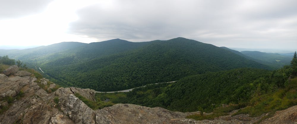
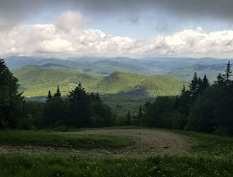
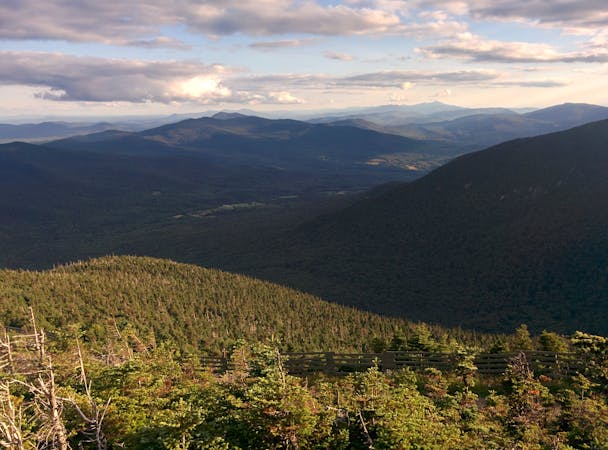
A popular day hike is to continue north on the AT to Deer Leap Rock: a picturesque overlook and perfect hike for the entire family. For a longer hike or excellent trail running route, pair the AT/LT with the Sherburne Pass Loop around Pico Mountain. Near the summit, you can snag some phenomenal views of the valley below.
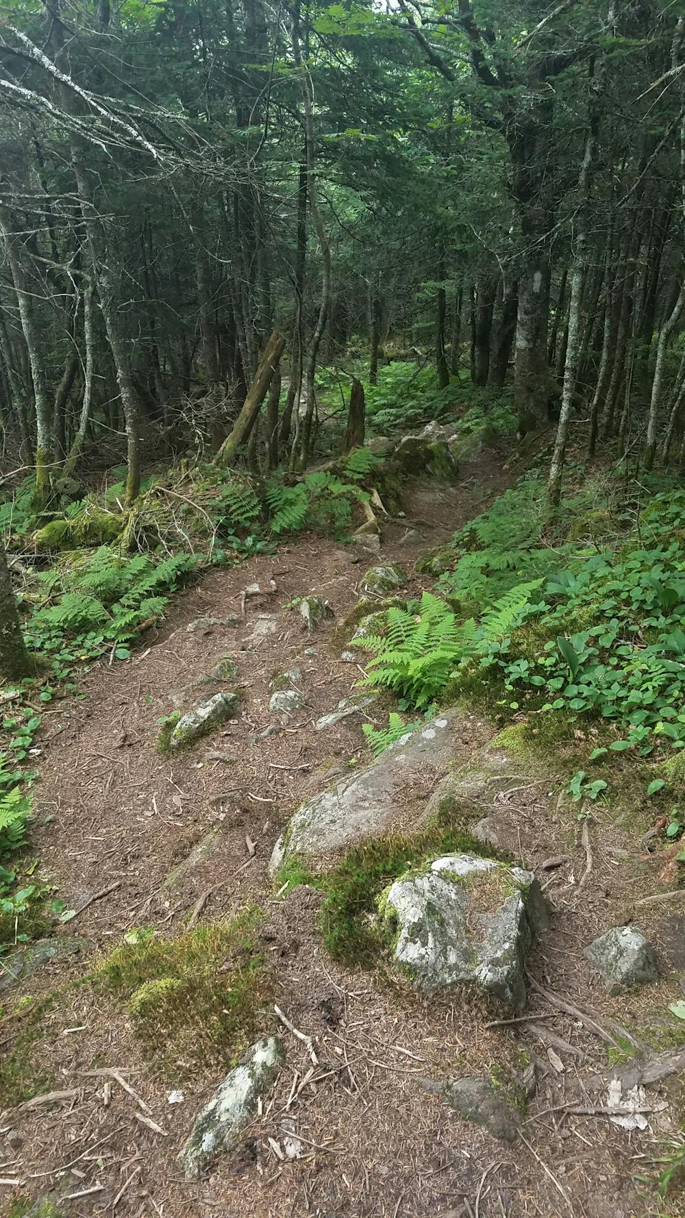
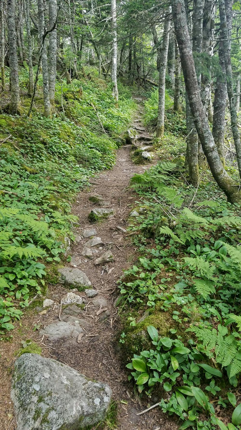
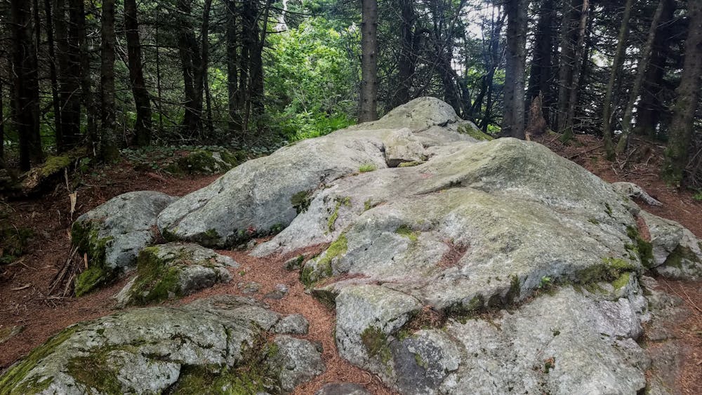
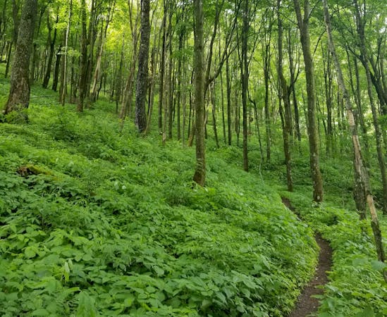
The next 20 miles of the Long Trail becomes increasingly more rugged as the trail makes way to Brandon Gap. As compared to segments to the south, the path narrows considerably and is much more rugged, rocky, and relentless. You will pass four shelters, and even more opportunities for primitive camping. There are no defined summits along this portion, but the trail teases hikers with some occasional views as it passes through saddles and contours high peaks.
At VT-73, the trail crosses the road at Brandon Gap. To the north, the Long Trail enters the Joseph Battell WIlderness. According to wilderness.net, "the area is a rare ecological gem. It contains many patches of large, mature northern hardwoods, the longest section of roadless and trailless ridgeline on the Green Mountain National Forest, and the headwaters of Bingo Brook, one of the most pristine, high-quality trout streams in Vermont."
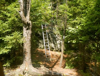
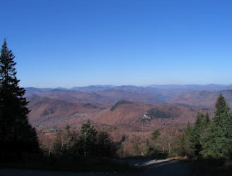
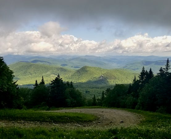
Nearly a half mile north of the gap, a short day hiking opportunity presents itself. Known as The Great Cliff, a spur trail to an exposed rock outcropping provides some phenomenal views into the valley below.
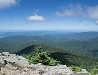
Further north, the Long Trail follows a ridgeline with four defined summits before a brief descent to a junction with the Sucker Brook Trail. A nearby shelter makes for the last defined overnight opportunity. Ahead, you're left with a relentless climb to Worth Mountain before meandering your way through the Middlebury Snowbowl to the trailhead along VT-125.
Sources: https://www.backpacker.com/trips/long-trail-section-07-brandon-gap-to-cooley-glen https://www.wilderness.net/NWPS/wildView?WID=689 https://en.wikipedia.org/wiki/LongTrail https://www.backpacker.com/trips/long-trail-section-06-us-4-to-brandon-gap
Difficult
Hiking trails where obstacles such as rocks or roots are prevalent. Some obstacles can require care to step over or around. At times, the trail can be worn and eroded. The grade of the trail is generally quite steep, and can often lead to strenuous hiking.

Some trail sections have exposed ledges or steep ascents/descents where falling could cause serious injury.
Little chance of being seen or helped in case of an accident.
0 m away
A easily shuttled stretch of the AT, connecting Killington Mountain to the Connecticut River.
Difficult Hiking
1.4 km away
A beautiful loop around Pico Mountain to run, hike, or spend the night.
Severe Hiking
1.4 km away
A short, family-friendly hike to a popular overlook near Killington.
Moderate Hiking
2 km away

A classic summer hike between Rutland and Killington with epic views and a waterfall.
Moderate Hiking
5.7 km away
An approach trail up the west side of Killington Mountain.
Difficult Hiking
9.8 km away

A short hike near Rutland known for its panoramic views, summer wildflowers, and birdwatching opportunities.
Moderate Hiking

58 routes · Hiking
9 routes · Hiking
5 routes · Hiking
5 routes · Mountain Biking · Hiking · Trail Running