9 routes · Hiking
Multiple ridgetop traverses showcasing some of the best views on the entire trail.
Hiking Severe

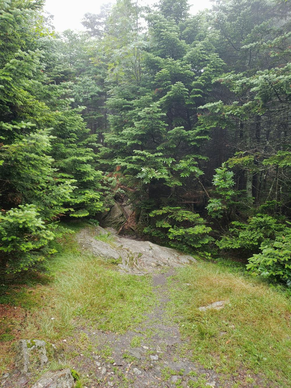
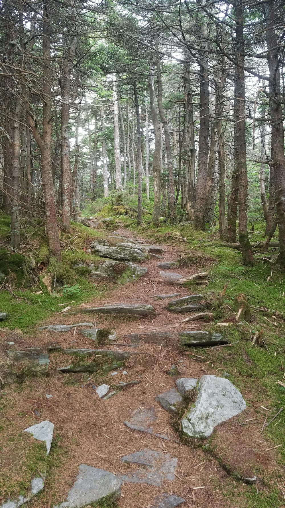
This portion of the Long Trail begins at Brandon Gap, adjacent to the Middlebury Snowbowl. In just five miles, the trail makes a grueling, rugged ascent into the Breadloaf Wilderness on a path for its namesake peak.
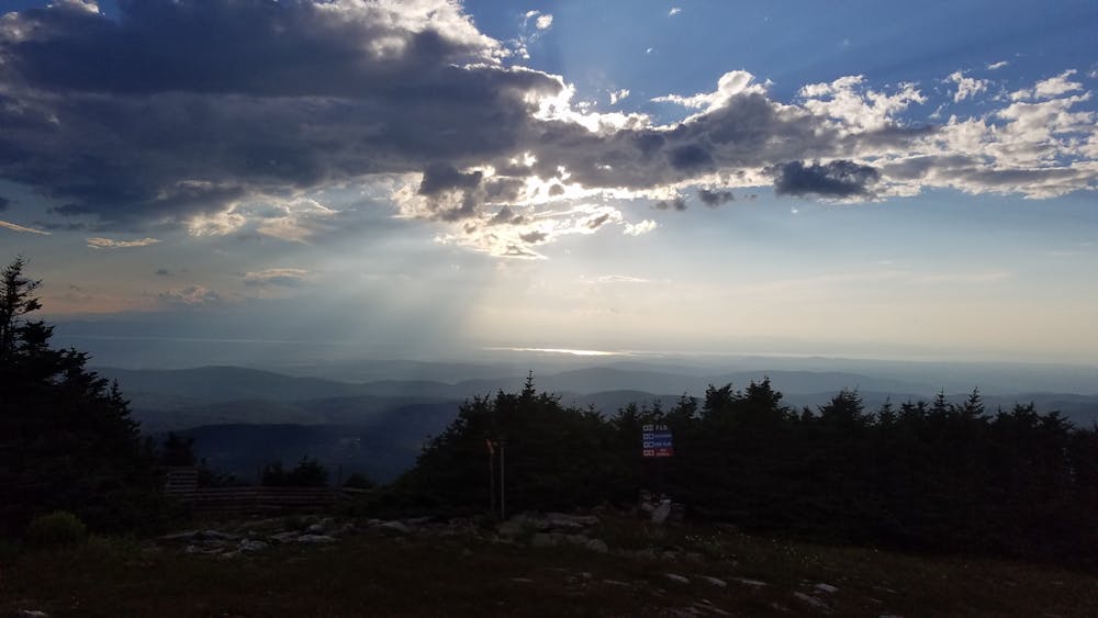
Hovering just above 3,800 feet, the summit of Breadloaf Mountain is the highest in the region. Though there are no defined overlooks, you can still snag some partial views near the summit. Just ahead, the Emily Proctor shelter serves as a popular overnight camping opportunity before beginning the trek over Vermont's "Presidential Traverse."
Continuing through Breadloaf Wilderness, this portion of the Long Trail is particularly epic and noteworthy among hikers. Vermont's "Presidential Traverse" begins with the summits of Mount(s) Wilson, Roosevelt, and Cleveland before halting for a break at the Cooley Glen shelter.
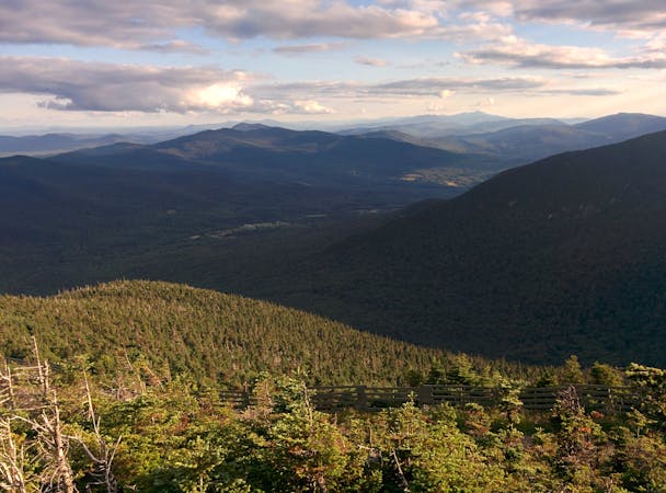
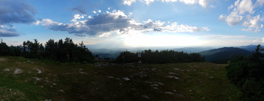
Endless vistas lie ahead, the first of which comes atop Mount Grant. To the south, you're welcomed with an excellent view of Breadloaf Wilderness from 3,600'. Nearby "Sunset Ledge" lies nearby an offers even more incredible views to the west.
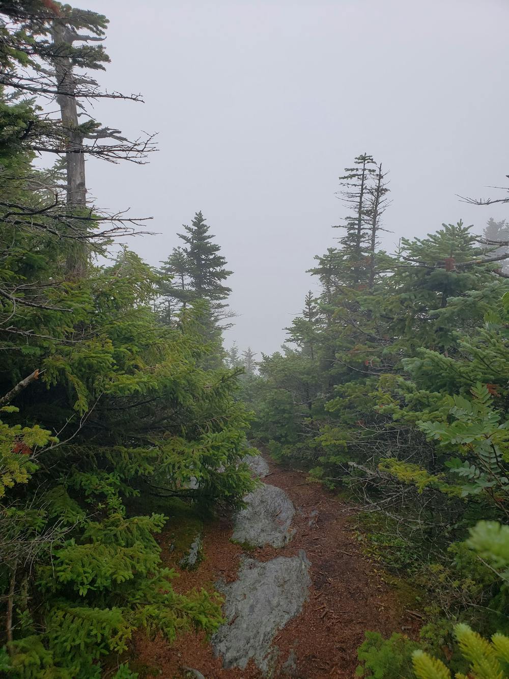
Passing through Lincoln Gap, the trail begins one of the toughest climbs yet to Mount Abraham. Nearing 4,000', the approach demands three points of contact and can be particularly dangerous when wet. In return, you're rewarded for your efforts with a phenomenal panoramic vista from its exposed alpine summit.
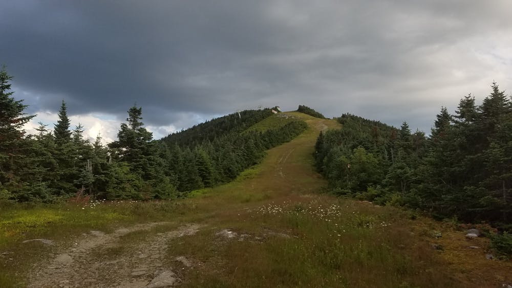
Following the ridge, the LT passes a few ski areas with plenty of views along the way. Mount Ellen, in particular, provides some of the best as the trail drops into a clearing atop the uppermost ski lift. To the west, you can even catch a faint glimpse of Lake Champlain.
The next major trailhead lies along VT-17 and is commonly referred to as Appalachian (App) Gap. Popular among day hikers, an overlook atop Molly Stark Mountain lies north on the trail and provides phenomenal views from its flat, exposed summit.
Continuing across even higher peaks, the Long Trail crosses over Camel's Hump to round out the segment. Taking 3rd among the state's highest peaks, the summit is arguably the most recognized in Vermont. Multiple approaches bring the summit within reach of several day hikes and the views from the summit are worth every step.
The northern terminus of this segment lies at a trailhead under Interstate 89. After the descent from Camel's Hump, the Long Trail follows the Winooski River to a footbridge that allows access to the trailhead.
Sources: https://en.wikipedia.org/wiki/Camel%27sHump https://westhillbb.com/blog/2016/08/mad-river-valley-vermont-hiking-trails/ https://www.backpacker.com/trips/long-trail-section-08-cooley-glen-to-birch-glen https://www.backpacker.com/trips/long-trail-section-07-brandon-gap-to-cooley-glen https://www.wilderness.net/NWPS/wildView?WID=74
Severe
Hiking challenging trails where simple scrambling, with the occasional use of the hands, is a distinct possibility. The trails are often filled with all manner of obstacles both small and large, and the hills are very steep. Obstacles and challenges are often unexpected and can be unpredictable.

Some trail sections have exposed ledges or steep ascents/descents where falling could cause serious injury.
Little chance of being seen or helped in case of an accident.
9 routes · Hiking