
10 routes · Mountain Biking
An introduction to the eastern half of the famous Kingdom Trail Network.
Mountain Biking Difficult

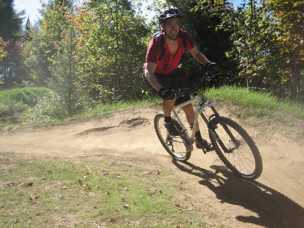
The Kingdom Trail Network is an absolutely massive trail system boasting over 100 miles of non-motorized multi-use trails. With everything from old school hand-built singletrack to machine-built flow trails, doubletrack, and old gravel roads, this expansive network truly does have a trail for everyone!
The fame of the Kingdom Trails has spread far and wide, and the network not only attracts mountain bikers from across North America, but from around the world! In 2018, the Kingdom Trails attracted 137,000 visitors, which is an average of almost 400 trail users per day, according to the North Star Monthly.
As of the time of this writing, controversy surrounds the western end of the trail system, with many of the best trails having been closed to mountain bike access. Many visitors don't realize that all of the Kingdom Trails are located on private land, with easements granted by the respective landowners. As such, it is of paramount importance to respect the rules of the trail. Also, don't forget to stop at the welcome center to purchase your annual or 1-day pass.
While it is still possible to form a loop on the western side of the trail system, navigation around the closure can be difficult, so with the loop mapped here, we've focused on the eastern side.
This recommended loop ride begins at Burke Mountain and links together some of the very best intermediate and advanced singletrack in the eastern half of the trail network. Despite beginning near the downhill park on Burke Mountain, this ride is designed as a trail/enduro outing.
Some of the top trail highlights in this route include the advanced-level J-Bar and Moose Alley, and the intermediate-friendly flow line on the Kitchel Trail. If you prefer to shorten the ride or focus on either the more difficult or the easier lines, you can easily cut out some trails out of this route and take short cuts using the various roads and doubletrack trails crisscrossing the trail system. And if you want an easier climb back to the start, skip pedaling up Burnham Down and instead climb the nearby road.
Sources: KingdomTrails.org North Star Monthly Singletracks.com: "As the Rumor Mill Turns, Mountain Bikers Still Have Plenty of Questions about the Kingdom Trails" Singletracks.com: "Land Owners Cut Off Mountain Bike Access to Several Tracks in Vermont's Kingdom Trails"
Difficult
Mostly stable trail tread with some variability featuring larger and more unavoidable obstacles that may include, but not be limited to: bigger stones, roots, steps, and narrow curves. Compared to lower intermediate, technical difficulty is more advanced and grades of slopes are steeper. Ideal for upper intermediate riders.

The trail contains some obstacles such as outcroppings and rock which could cause injury.
Away from help but easily accessed.
10 routes · Mountain Biking

24 routes · Mountain Biking