6.7 km away
Riprap Hollow
A quick overnight trip with excellent views and a small waterfall.
Moderate Hiking
- Distance
- 15 km
- Ascent
- 656 m
- Descent
- 656 m
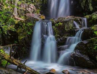
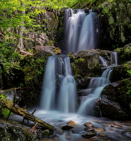
An excellent day hike with multiple waterfalls, massive tulip trees, and a Confederate grave.
Hiking Difficult

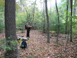
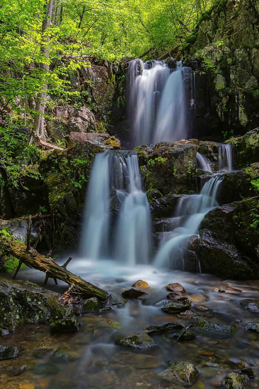
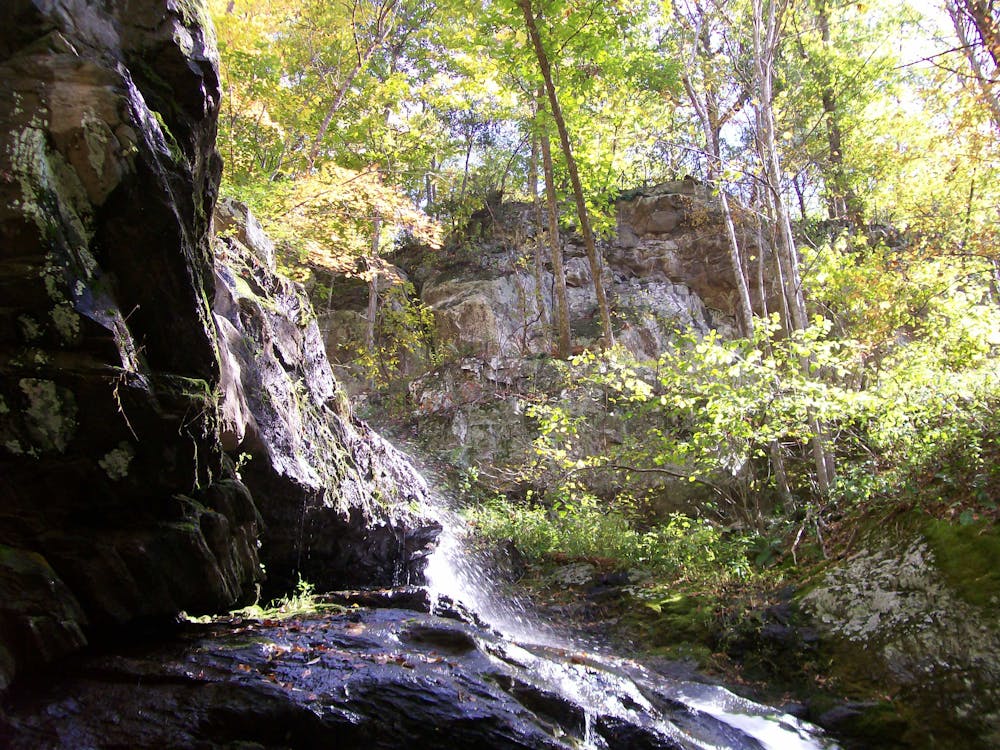
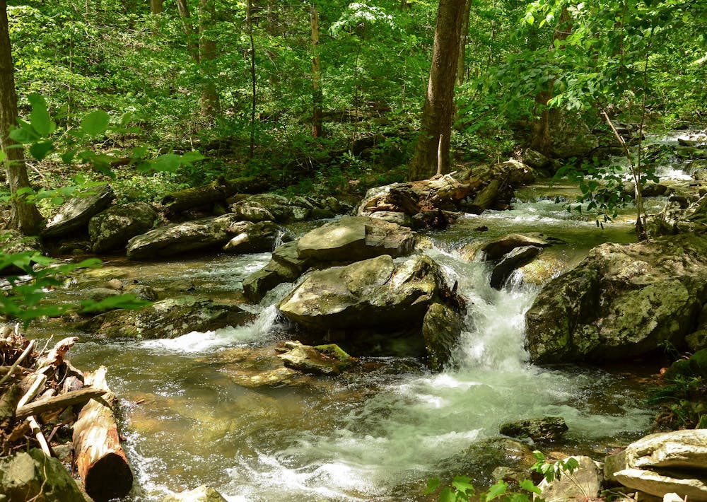
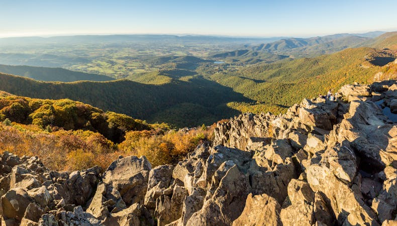
A half-day hike for most, this loop visits three significant waterfalls in the southern region of Shenandoah National Park. Linking the AT, Doyles River Trail, Jones Run Trail, and a fire road, you'll explore two stunning canyons lined with old-growth tulips and plenty of smaller cascades. Along the fire road, you'll even pass a Confederate grave, a common occurrence throughout the Shenandoah Mountains.
As mapped, this hike begins at the Jones Run Falls Trailhead on Skyline Drive. You could also start at the Browns Gap Parking Area or take a short spur from the Dundo Group Campground. According to this source, the campground was "once the site of a Civilian Conservation Corps Camp." Either way, the start is nearly halfway between Rockfish Gap and Swift Run Gap, so allocate plenty of time to get to the trailhead if you're coming from a nearby town.
Though some would consider this hike moderate in difficulty, others may find it more challenging due to the elevation gain. At a minimum, set aside 3 hours for the hike, but know that it could take upwards of 5 or 6 on a hot day.
Sources: https://justfollowingmyarrow.com/hiking-double-falls-loop-shenandoah-national-park/ https://blog.virginia.org/2016/06/must-do-hikes/
Difficult
Hiking trails where obstacles such as rocks or roots are prevalent. Some obstacles can require care to step over or around. At times, the trail can be worn and eroded. The grade of the trail is generally quite steep, and can often lead to strenuous hiking.

The trail contains some obstacles such as outcroppings and rock which could cause injury.

Little chance of being seen or helped in case of an accident.
6.7 km away
A quick overnight trip with excellent views and a small waterfall.
Moderate Hiking
6.7 km away
A two-night circuit with wilderness, waterfalls, fishing, and plenty of overnight camping.
Difficult Hiking
6 routes · Hiking
10 routes · Hiking