
10 routes · Hiking
The northernmost hike in Shenandoah National Park, including some sweeping views and remnants of a historic farmstead.
Hiking Moderate

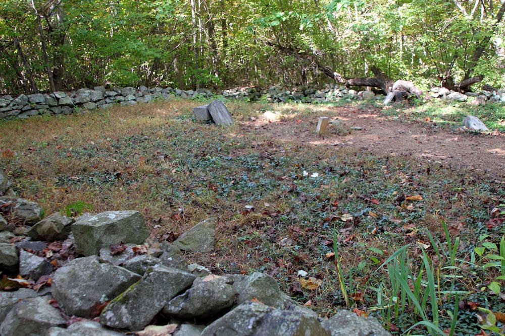
If you find yourself at the northernmost end of Skyline Drive, be sure to add this ~5-mile loop to your to-do list. A moderate hike to most, it passes a historic cemetery and the remnants of Snead Farm, then offers sweeping views from Dickey Hill at its furthest point. In comparison to other hikes in Shenandoah, this is one of the easiest, climbing less than 1000' over 5 miles.
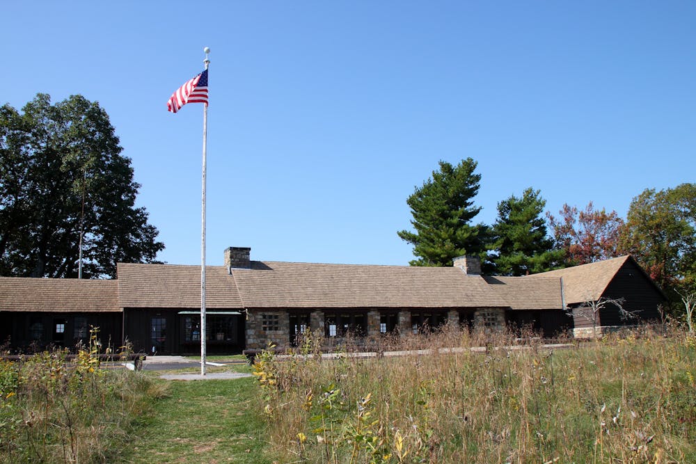
As mapped, begin at the Dickey Ridge Visitor Center, 4.6 miles from the Front Royal Entrance Station. Current fees and pass information can be found here. If you're simply looking for some quick views before driving south on Skyline Drive, the Visitor Center includes a beautiful vista looking west.
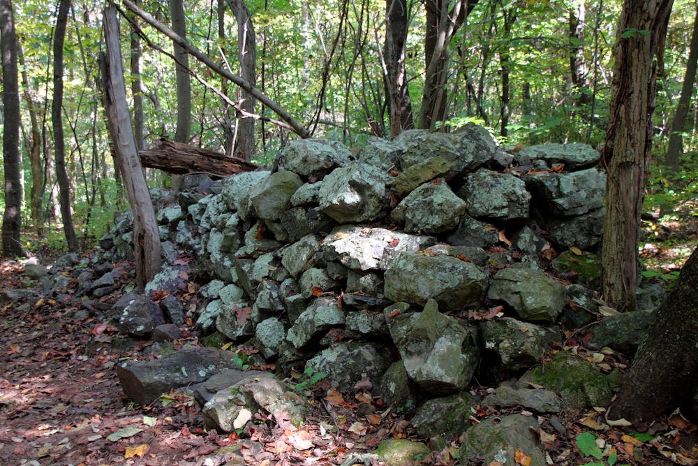
If you're short on time, the upper portion of this hike pairs the Fox Hollow Trail with Dickey Ridge Trail. Many sources consider it one of the best kid-friendly hikes in Shenandoah. Though short, it showcases the history of the region, dating back well before SNP was established. This source even highlights the spring wildflowers and piles of stones "that generations of the Fox family made when they cleared the land for farming."
After hiking the Fox Hollow Trail, continue south on Dickey Ridge Trail to Dickey Hill. The views are spectacular, and the return trip passes through the remnants of a historic farmstead.
If you're looking for a longer hike or overnight trip, Dickey Ridge Trail begins at the Front Royal Entrance Station and ends at the Appalachian Trail 9-miles later. With a little creativity, you could form a larger loop or shuttle a hike, leaving a car at the AT trailhead on Remount Rd.
Sources: https://www.kidsinparks.com/shenandoah-national-park-fox-hollow-trail https://www.hikingupward.com/SNP/DickeyRidge/
Moderate
Hiking along trails with some uneven terrain and small hills. Small rocks and roots may be present.

The trail contains some obstacles such as outcroppings and rock which could cause injury.
Away from help but easily accessed.
10 routes · Hiking