2.3 km away
Overall Run -> Heiskell Hollow -> Weedlewood Circuit
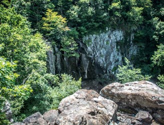
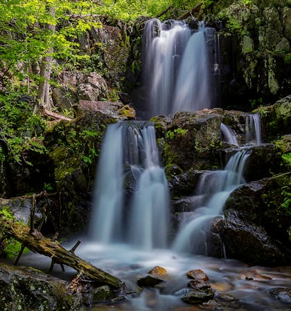
A one-night loop or long day hike including the highest waterfall in SNP, plus multiple cascades and swimming holes.
Difficult Hiking
- Distance
- 20 km
- Ascent
- 959 m
- Descent
- 959 m
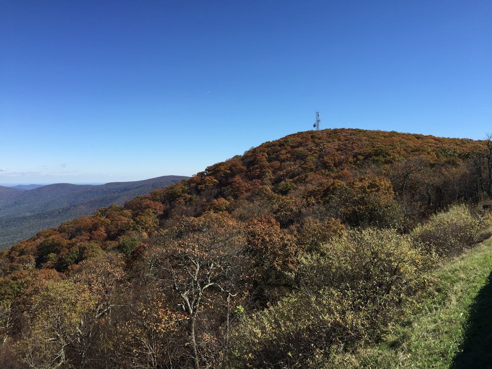
A versatile two-night trip with "views, poplar forests, park history, and fishing streams" open for harvest.
Hiking Difficult

If you're looking for an overnight circuit with versatility, this is for you. Divided into 3 days/2 nights, this route is loaded with epic views, excellent fishing, and plenty of history along the way. The NPS highlights the poplar forests on the route and considers it an experienced-to-advanced loop.
A quick look at the map will reveal endless ways to shorten or lengthen the loop, plus it crosses Skyline Drive multiple times, most of which have defined parking areas. Matthews Arm Campground is also nearby if you want to reserve a site and begin there instead.
When hiked clockwise, plan to spend your first night on Piney Branch Trail past the junction with Hull School Trail. You may have to head off this route a little but shouldn't have an issue finding something nearby.
For your second night, find a site on upper Thornton River Trail, but not too close to Skyline Drive. There are few options within one mile of the road, according to the NPS. The Park Service also notes the potential for high water crossings on parts of this route, especially during the spring. Be sure to have this route downloaded on your watch or smart device since there are many trail junctions along the way. A printed map or would also be wise should you need to change plans for any reason.
Sources: https://www.nps.gov/shen/planyourvisit/upload/SHENBCTrip-HogbackMountainandThorntonRiverE044-508.pdf https://en.wikipedia.org/wiki/HogbackMountain(ShenandoahNationalPark,Virginia)
Difficult
Hiking trails where obstacles such as rocks or roots are prevalent. Some obstacles can require care to step over or around. At times, the trail can be worn and eroded. The grade of the trail is generally quite steep, and can often lead to strenuous hiking.

The trail contains some obstacles such as outcroppings and rock which could cause injury.

Little chance of being seen or helped in case of an accident.
2.3 km away
A one-night loop or long day hike including the highest waterfall in SNP, plus multiple cascades and swimming holes.
Difficult Hiking
6 routes · Hiking