3.6 km away
Appalachian Trail: Swift Run Gap to Thorton Gap
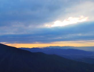
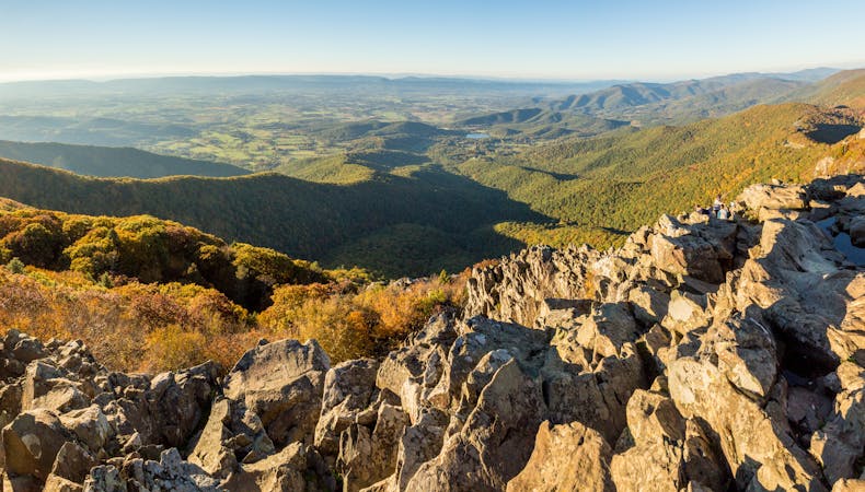
The central district of Shenandoah National Park, known for the picturesque Hawksbill Overlook.
Difficult Hiking
- Distance
- 55 km
- Ascent
- 2.2 km
- Descent
- 2.2 km
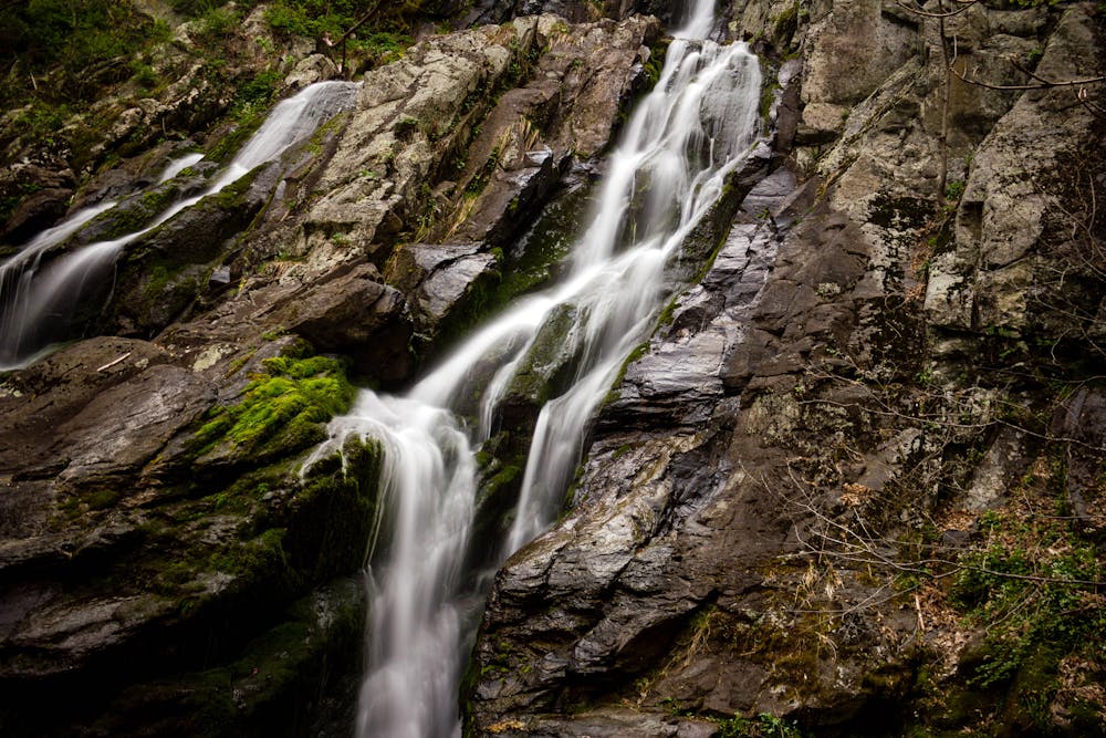
A short hike near Swift Run Gap to the third-largest waterfall in Shenandoah National Park.
Hiking Moderate

South River Falls is a stunning 83' waterfall, and the 3rd largest in Shenandoah National Park source. The South River Falls Trail is the shortest route to view the stunning 80'+ waterfall, just 1.3 miles from the trailhead. There is also a trail that leads to its base should you have the time and energy.
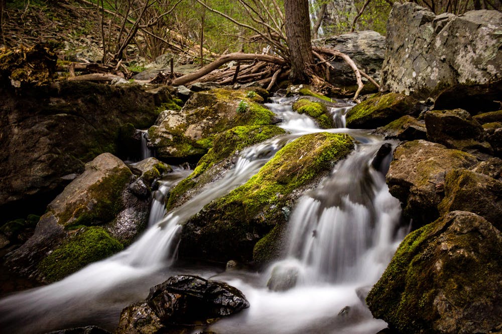
This hike begins at the South River Picnic Area, milepost 63 on Skyline Drive. After following the South River Falls Trail down to the waterfall, you have two options to get back. Return the same way you came or follow a fire road back to the Appalachian Trail then head south to the picnic area. It's infrequently chosen but offers a change in scenery, rather than retracing your steps. Both options, including the spur to the base of the waterfall, are mapped.
Should Skyline Drive be closed, you could park at Swift Run Gap and follow the Appalachian Trail north for a longer day hike or overnight trip to the waterfall. Though there are no defined overlooks or waterfalls, the Saddleback Mountain Trail is also "a great choice for a snowy-day hike when Skyline Drive is closed," according to a recommendation by hikingupward.com.
Moderate
Hiking along trails with some uneven terrain and small hills. Small rocks and roots may be present.

The trail contains some obstacles such as outcroppings and rock which could cause injury.
Away from help but easily accessed.
3.6 km away
The central district of Shenandoah National Park, known for the picturesque Hawksbill Overlook.
Difficult Hiking

58 routes · Hiking
10 routes · Hiking