4 routes · Road Biking
The northernmost segment of the Blue Ridge Parkway including Humpback Rocks, Apple Orchard Falls & Mountain, and plenty of access to the Appalachian Trail.
Road Biking Difficult

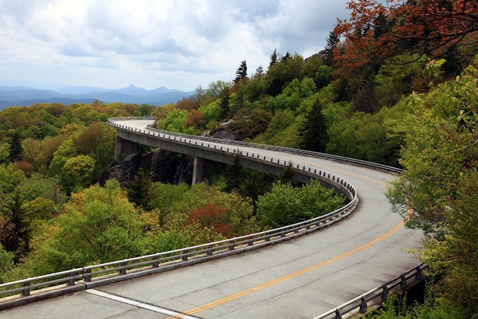
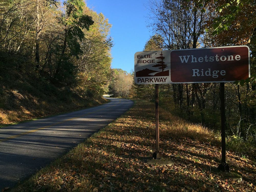
Spanning two states, the Blue Ridge Parkway (BRP) is the longest linear park in the United States, linking Shenandoah National Park in Virginia to the Great Smoky Mountains National Park along the NC/TN border. The Ridge Region of the Blue Ridge Parkway is the northernmost section of the scenic 469-mile roadway.
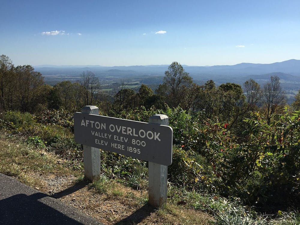
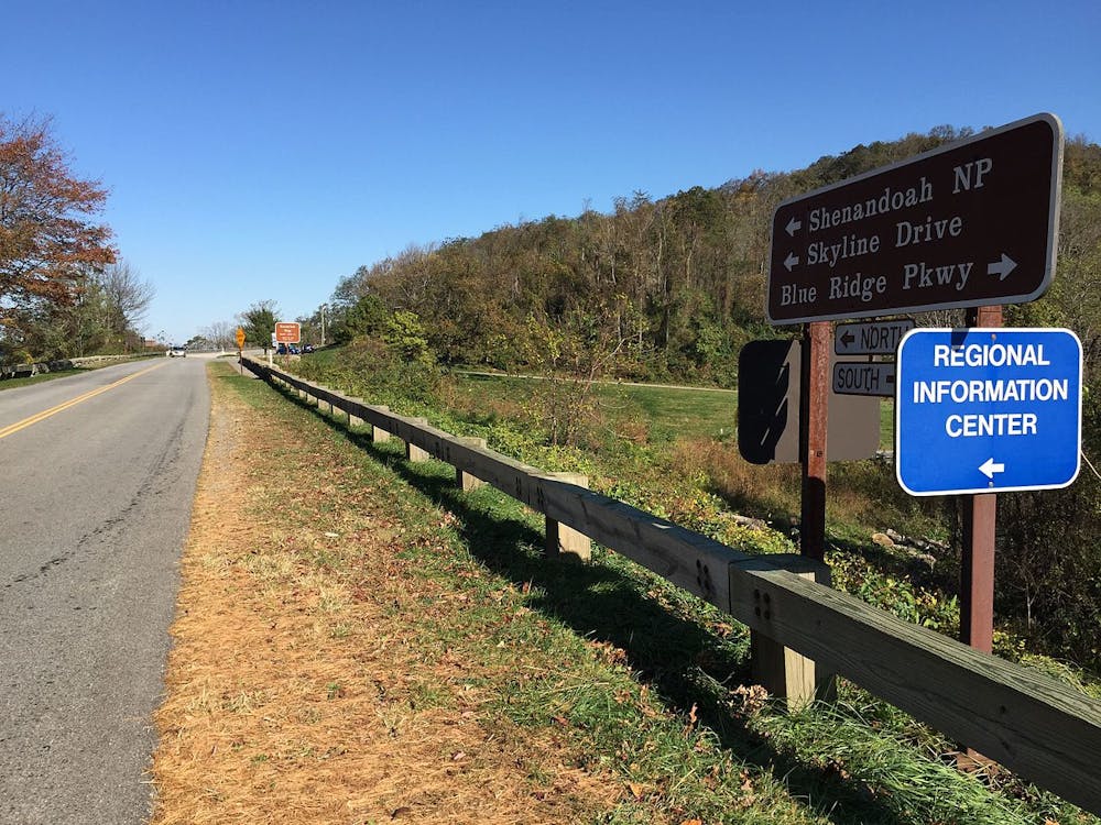
This portion of the ride begins at the north entrance to the BRP near Afton, Virginia. It's also conveniently located along Interstate 64 and less than 30 minutes from Staunton or Charlottesville. Despite the Parkway's magnificence, the entrance is rather underwhelming — just an unmanned kiosk and small parking area. If you plan on riding the entire roadway, this is where you would want to get dropped off. The parking area, however, is not feasible to leave a vehicle for more than an afternoon.
The southern end of the segment is mapped to Coyner Mountain Overlook, a large parking area just after it crosses US-221 N/US-460.
This section of the BRP includes several stunning overlooks but also reaches the lowest elevation anywhere on the entire 469-mile-long road! As you cross over the James River, you will be at a mere 649' above sea level. For reference, the highest point on the road is above 6,000', not far from its southern entrance.
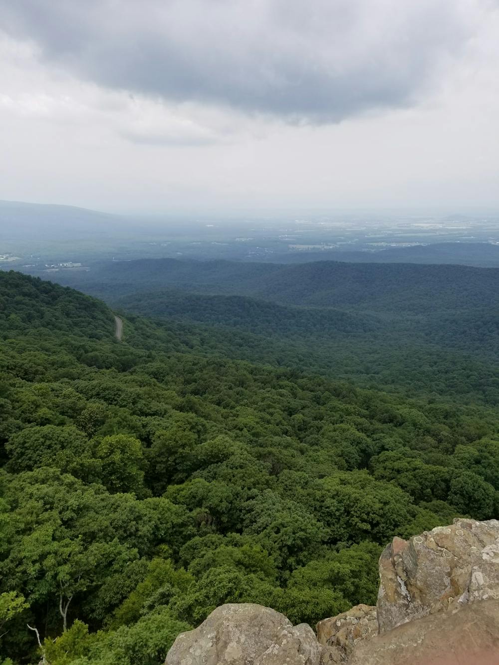
If you bring your hiking shoes and a lock along, Humpback Rocks is an excellent short hike to one of the most-visited spots on this portion of the roadway. Several roadside waterfalls and other short hikes are abundant as you make your way further south.
There are three Visitor Centers along this stretch: Humpback Rocks, James River, and Peaks of Otter. Camping is available near the latter two. There are several options just off the Parkway as well. Also worth noting, the Blue Ridge Parkway Association only lists six notable access points along this 106-mile stretch.
Milepost 0 - Milepost 106
Click here to view bicycling regulations on the Blue Ridge Parkway.
Sources: National Park Service Blue Ridge Parkway Association
Difficult

Little chance of being seen or helped in case of an accident.
4 routes · Road Biking