


176 m away
PCT: Stevens Pass to High Bridge
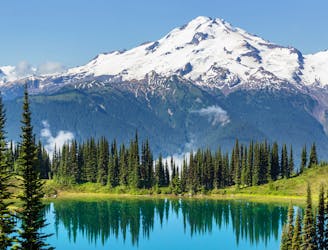
Miles 2464.1-2571.9 of the northbound PCT: A long expanse through the Glacier Peak Wilderness, centered on Washington's most isolated stratovolcano.
Difficult Hiking
- Distance
- 166 km
- Ascent
- 6.3 km
- Descent
- 7 km
