11 routes · Hiking
Ascend through mountainside forest and meadows to 360-degree views over Seattle, the Cascades, and the Olympic Peninsula.
Hiking Difficult

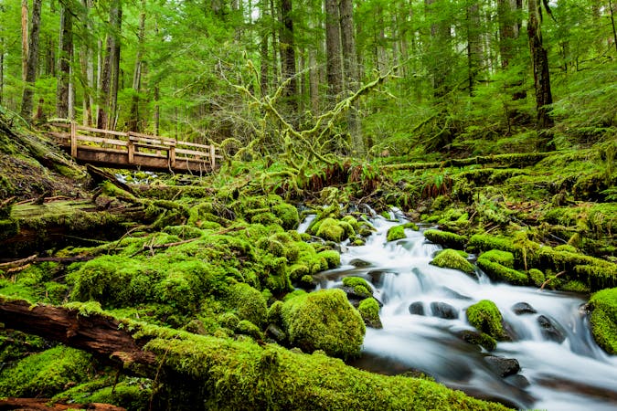
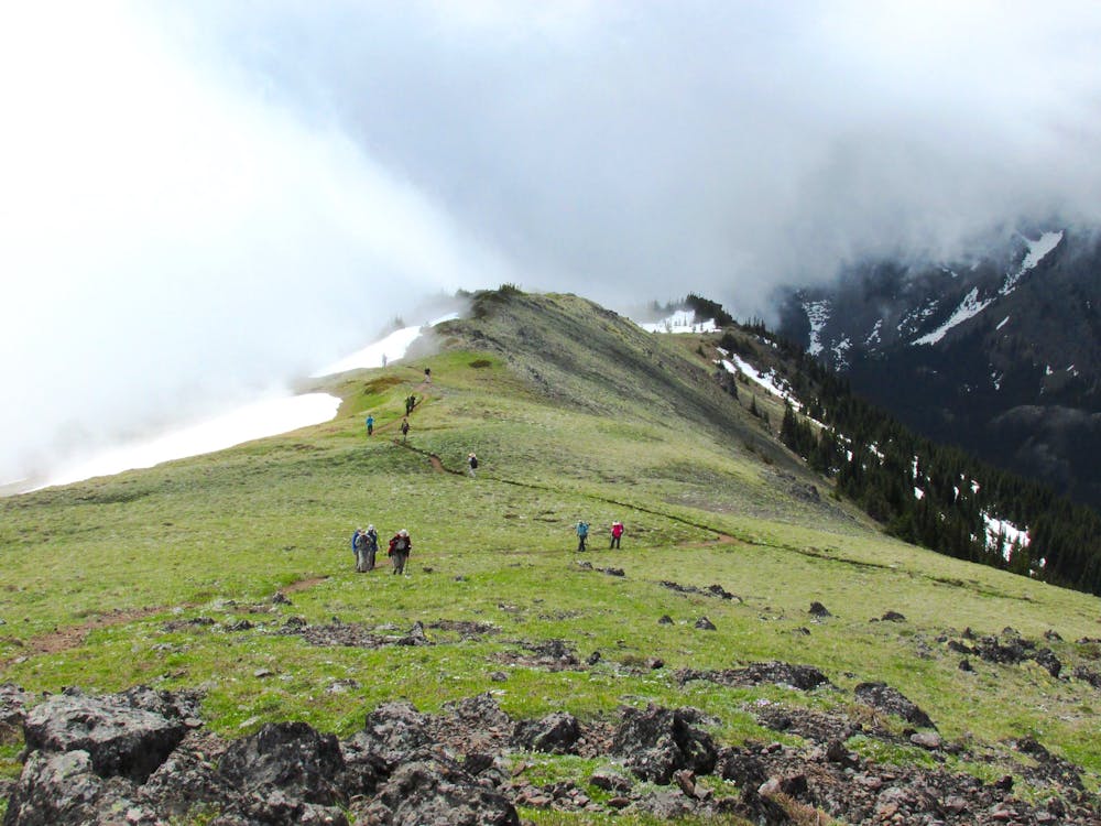
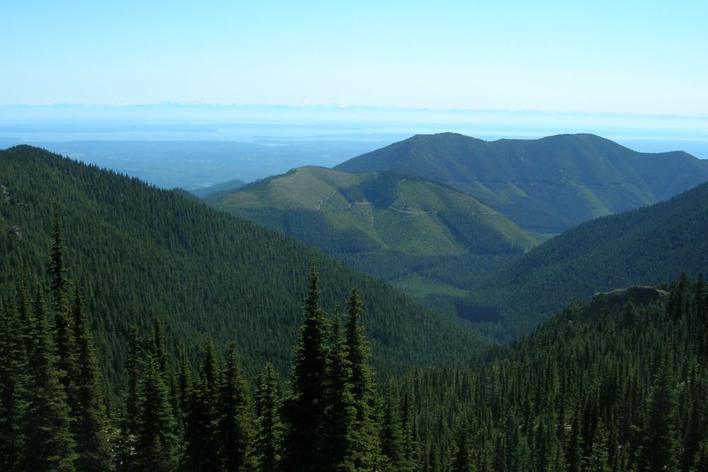
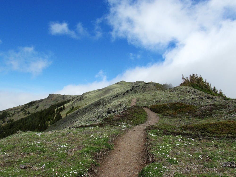
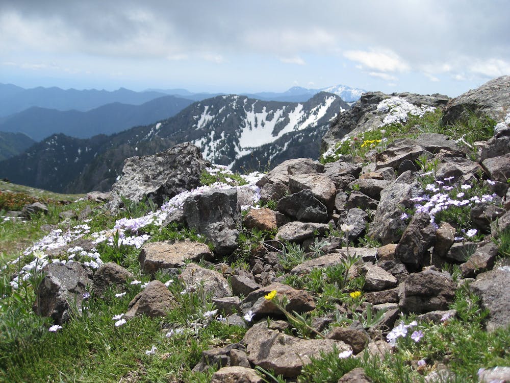
The top of Mount Townsend grants some of the best views in Washington. From this 6,280-foot perch at the edge of the Olympics, you can see Seattle and across to Vancouver, gaze over various water bodies and islands, and look around at snowy peaks of the peninsula and of the Cascades. There are multiple trails on the mountain, but the Mount Townsend Trail is the most popular for its easy access and straightforward ascent. It leads gradually uphill through evergreen forest, then gains the treeless upper slopes and follows a broad ridge to the top.
In the summer, you can start this hike from the upper trailhead, as mapped. In the spring, when the roads are still snowy, however, you may have to start from the lower trailhead, which adds just over a mile each way. From the upper trailhead, switchbacks begin right away, but then a gentler stretch of trail continues across the mountainside, among fragrant firs and hemlocks plus flowering rhododendrons. Views are limited until the next set of switchbacks, which pass through some open meadows granting glimpses of waterfalls and views down the valley.
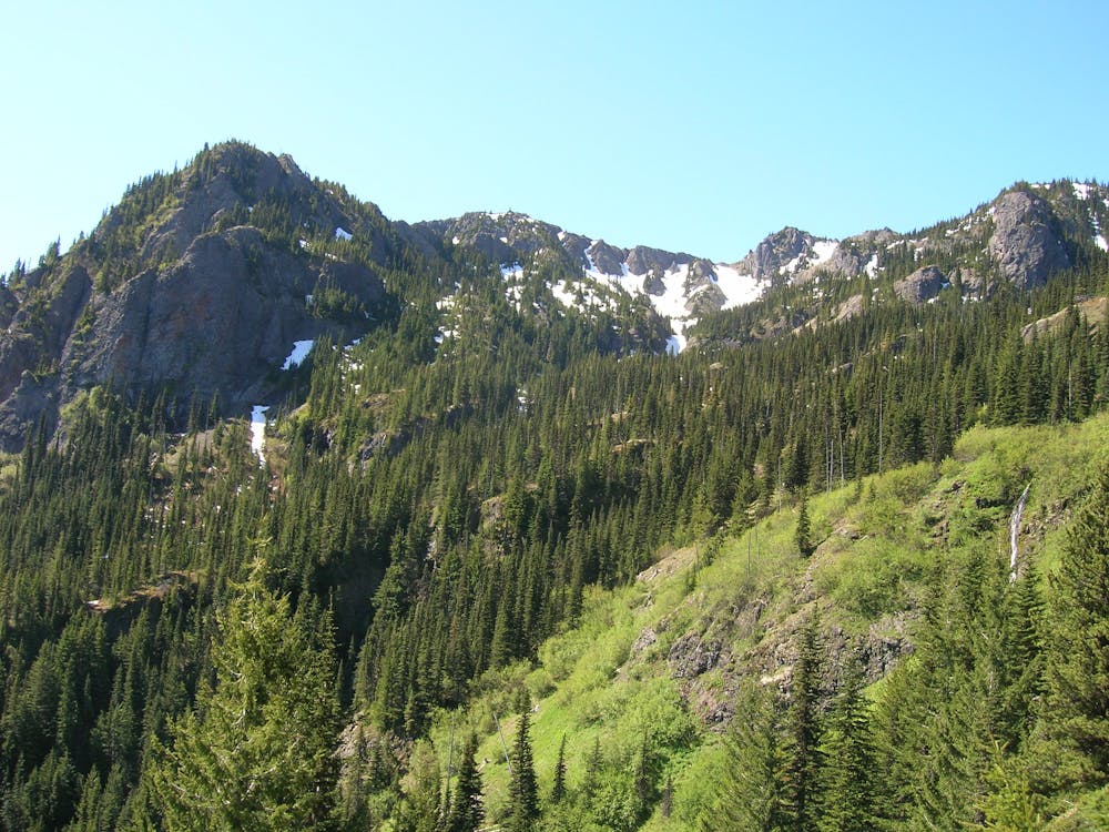
As the switchbacks climb higher, the slopes become more open and rockier, and are flecked with flowers in the summer months. Eventually, the tall trees are left behind, with only wind-warped shrubs and alpine grasses at the higher elevations. The trail finally gains the ridgeline, and continues along the arcing spine of the mountain to its panoramic summit. On windy days, which are frequent, you’ll find a bit of shelter behind constructed rock walls. If the weather is clear, you’ll want to linger despite the cold and take in the view in all directions. The track mapped here actually continues over the south summit, which is the true summit, and turns around at the north summit for a longer walk in the alpine.
Stormy weather can roll in quickly though, so come prepared for wet and cold, and don’t hesitate to turn around if the weather starts to deteriorate. Also know that the upper slopes can be treacherous if snow and ice still linger. This trail is hiked in all seasons, but winter and spring might require mountaineering equipment to ascend safely. Trail crampons and/or snowshoes may be sufficient to complete the lower portions of the trail, but the upper mountain often warrants use of an ice axe and crampons.
Sources: https://www.wta.org/go-hiking/hikes/mount-townsend https://www.mountaineers.org/activities/routes-places/mount-townsend https://www.fs.usda.gov/recarea/olympic/recreation/recarea/?recid=47887
Difficult
Hiking trails where obstacles such as rocks or roots are prevalent. Some obstacles can require care to step over or around. At times, the trail can be worn and eroded. The grade of the trail is generally quite steep, and can often lead to strenuous hiking.

The trail contains some obstacles such as outcroppings and rock which could cause injury.

Little chance of being seen or helped in case of an accident.
11 routes · Hiking