4.6 km away
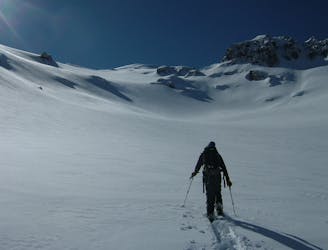
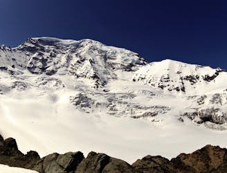
Mount Ruth in Winter
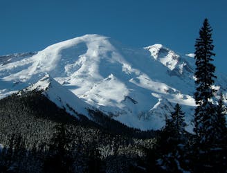
Ski touring on the east side of Mount Rainier in December
Difficult Ski Touring
- Distance
- 14 km
- Ascent
- 1.4 km
- Descent
- 1.4 km
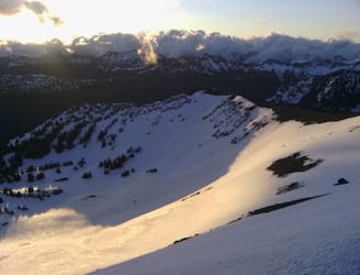
North Facing late Spring and Summer Tour
Ski Touring Moderate

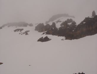
Follow the Glacier Basin Trail 5,600' then either follow the creek with enough snow or keep on the summer trail to the campsites then follow the valley up the gut favoring the climber's left . Watch for Rock fall near the cliffs as you ascend. The Descent track follows big open features and avoids the climber's boot track.
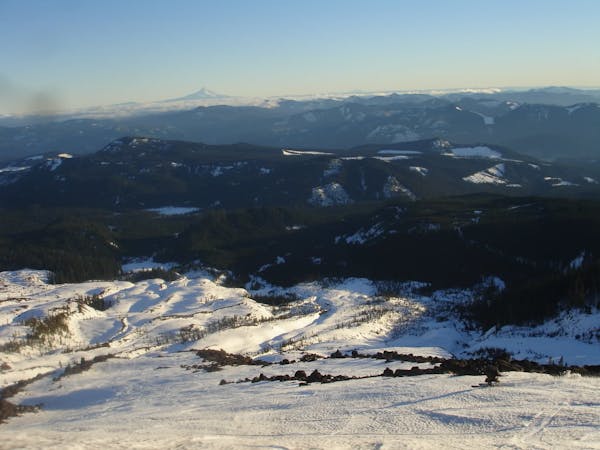
Moderate
Slopes become slightly steeper at around 25-30 degrees.

As well as the slope itself, there are some obstacles (such as rock outcrops) which could aggravate injury.
Away from help but easily accessed.
4.6 km away
Ski touring on the east side of Mount Rainier in December
Difficult Ski Touring
4.6 km away
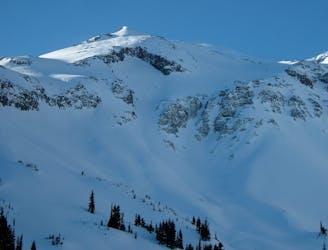
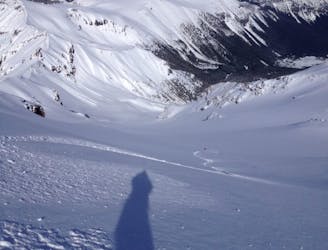
The amazing and terrifying North Swaths of Goat Island Mountain
Severe Ski Touring
4.6 km away
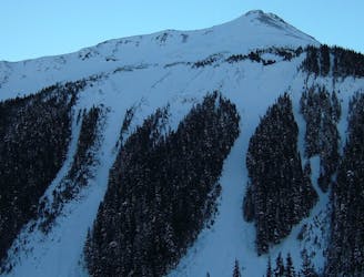
Linking together the two nicest lines in Glacier Basin
Difficult Ski Touring
4.6 km away
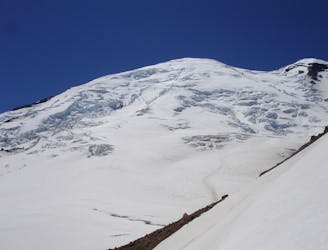
Descending down the Emmons Glacier on Mount Rainier
Difficult Ski Touring
4.7 km away
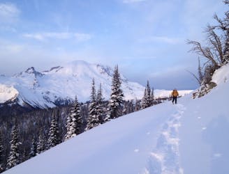
Heading up Glacier Basin to Snowboard the Interglacier in powder conditions
Difficult Ski Touring
4.7 km away
Climbing up the Emmons and descending down the Interglacier in powder
Difficult Ski Touring
4.8 km away
Another great south facing line within Glacier Basin
Difficult Ski Touring
4.8 km away
Making the most out of the alpine terrain within the Sourdough Mountains
Severe Ski Touring
4.8 km away
A classic ascent and pleasant ski descent!
Severe Ski Touring
4.8 km away
Heading from the Third Burroughs all the way to 410 through the Sourdough Range
Severe Ski Touring

9 routes · Ski Touring
5 routes · Ski Touring