7.1 km away
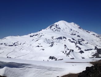
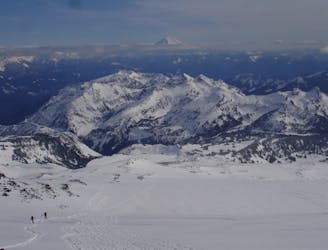
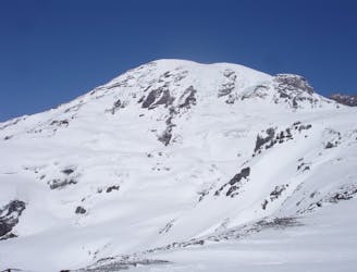
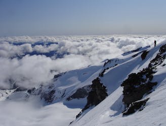
Fuhrer Finger to Nisqually Bridge Ski Descent on Mt. Rainier
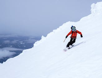
One of the most classic and longest ski descents in North America!
Severe Ski Touring
- Distance
- 21 km
- Ascent
- 2.9 km
- Descent
- 3.3 km
The one line to rule them all
Ski Touring Severe

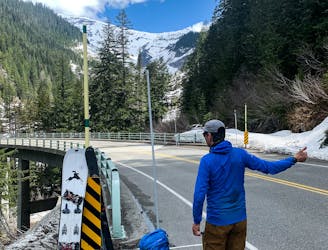
This is a popular ski touring route which is generally considered to be severe. It's extremely remote, it features extreme exposure (e4) and is typically done between March and June. From a low point of 2.6 km to the maximum altitude of 4.3 km, the route covers 2.5 km, 0 vertical metres of ascent and 1730 vertical metres of descent. You'll need rope, skins, ice axe, crampons and glacier kit to complete it safely.
The longest pure fall line on Mt Rainier that is also a non-glaciated corn run surrounded by steep glaciers
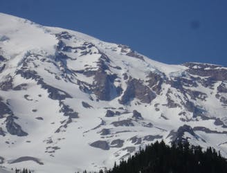
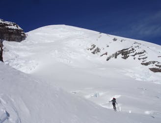
Severe
Steep skiing at 38-45 degrees. This requires very good technique and the risk of falling has serious consequences.

In case of a fall, the skier faces certain death.
In the high mountains or remote conditions, all individuals must be completely autonomous in every situation.
7.1 km away
One of the most classic and longest ski descents in North America!
Severe Ski Touring
7.1 km away
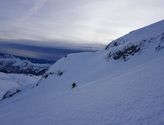
One of the longest continuous ski descents in the continental US!
Severe Ski Touring
7.1 km away
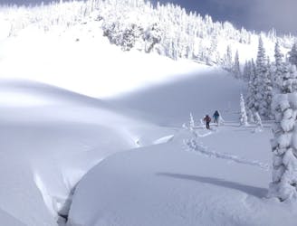
A great alternative to the Muir Snowfield
Moderate Ski Touring
7.1 km away
A power paradise just next to Paradise
Moderate Ski Touring
7.1 km away
A 4 day traverse through Mount Rainier National Park
Difficult Ski Touring
7.1 km away
A classic ski descent off the southern summit of Mount Rainier
Severe Ski Touring
7.2 km away
The Birthplace of Turns All Year
Moderate Ski Touring
7.2 km away
A stunning Southwest-facing line onto the Nisqually Glacier
Moderate Ski Touring
7.2 km away
Two separate zones within a single ski tour
Moderate Ski Touring
7.2 km away
Riding down a stunning line within view of the Muir Snowfield
Severe Ski Touring

9 routes · Ski Touring

11 routes · Ski Touring