Paradise Valley Conservation Area
Run through a beautiful woodland filled with soaring trees and wildflowers.
Trail Running Easy
- Distance
- 11 km
- Ascent
- 141 m
- Descent
- 141 m
- Duration
- 1-2 hrs
- Low Point
- 101 m
- High Point
- 137 m
- Gradient
- 2˚

The Paradise Valley Conservation Area boasts a total of 13 miles of singletrack. About 11 miles of singletrack are open to mountain bikes, about 7 miles are open to horses, and all of the trails are open to foot travel.
Description
This 793-acre conservation area was originally a private tree farm, but it was acquired by Snohomish County in 2000 “using funds from the state Salmon Recovery Fund and Snohomish County's Conservation Futures Board, converting it into the Paradise Valley Conservation Area,” according to EvergreenMTB.org.
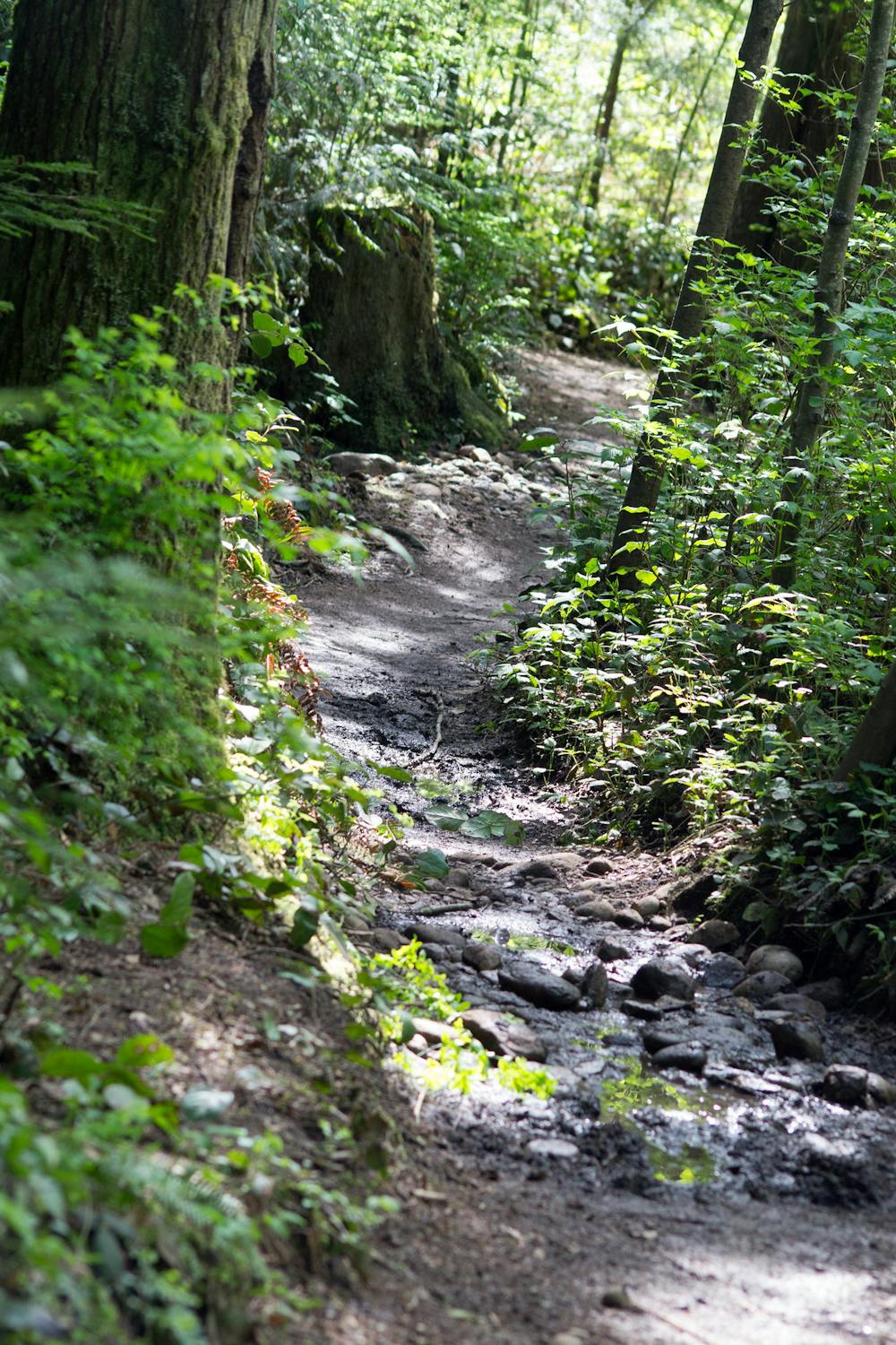
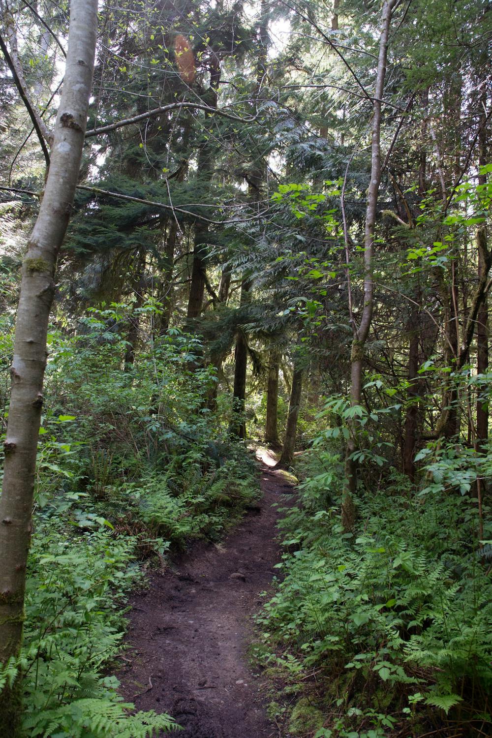
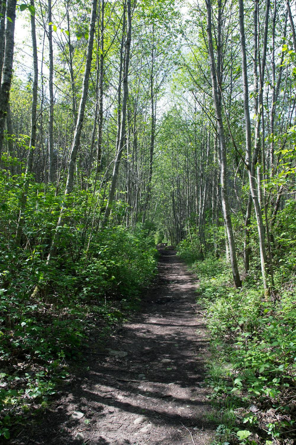
According to Evergreen, the trails here range “from rooty to twisty to swoopy,” and while there aren’t any major climbs in the trail system, the constant up and down will give you “a surprisingly good workout.”
As you run through this beautiful woodland, be sure to stop and savor the massive trees, beautiful wildflowers, and keep an eye peeled for the wildlife that calls this conservation area home.
Sources: https://snohomishcountywa.gov/Facilities/Facility/Details/Paradise-Valley-Conservation-Area-PVCA-66 https://www.evergreenmtb.org/trails/paradise-valley https://www.wta.org/go-hiking/hikes/paradise-valley-conservation-area
Difficulty
Easy
Medium Exposure

The trail contains some obstacles such as outcroppings and rock which could cause injury.
Remoteness
Away from help but easily accessed.