8.3 km away
Squak Mountain Linkup
A remote-feeling trail run just minutes from downtown Seattle.
Moderate Trail Running
- Distance
- 13 km
- Ascent
- 748 m
- Descent
- 748 m
A mellow loop through a multi-use trail system close to Seattle.
Trail Running Easy

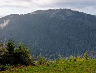
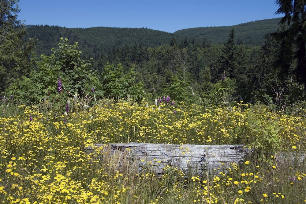
"Connecting the Cedar River Watershed to the Tiger Mountain State Forest, the 1,924 acre Taylor Mountain Forest treats visitors with views of Mount Rainier, forested wetlands, and meadows of wildflowers,” according to King County Parks. This state forest is also a working forest, meaning that it’s supposed to demonstrate "how environmentally sound forest management protects and restores ecological systems while still allowing for recreational opportunities,” according to King County Parks.
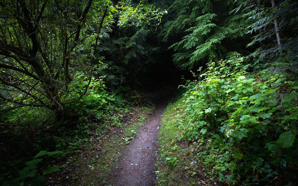
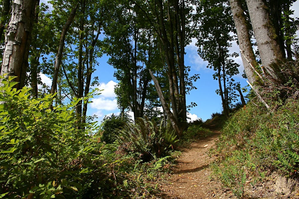
The loop mapped here mixes singletrack trails with forest roads. Overall, this trail run is very mellow and non-technical. At 11 miles long, it may be a touch too long for some runners, but with many connector trails crossing the loop, it's easy to shorten this loop dramatically… or extend it, for that matter.
Over the course of your run, you’ll likely see open areas and evidence of logging in this working forest. In other areas, you’ll find yourself in a deep, dark PNW rain forest that feels dramatically removed from the city, even though you’re just a few miles from downtown Seattle.
The trail system at Taylor Mountain is a multi-use trail network, meaning that you can expect to encounter mountain bikers and equestrians in addition to other runners and hikers. Since Taylor Mountain is so close to Seattle, the trails can get crowded, especially on the weekends. Be sure to practice proper trail yielding—all other trail users are supposed to yield to equestrians
Sources: https://www.kingcounty.gov/services/parks-recreation/parks/trails/backcountry-trails/taylor-mtn.aspx
Easy

The path is on completely flat land and potential injury is limited to falling over.
Close to help in case of emergency.
8.3 km away
A remote-feeling trail run just minutes from downtown Seattle.
Moderate Trail Running
7 routes · Trail Running