7.4 km away
John Muir Loop
One of the best trails in Southern Wisconsin.
Moderate Hiking
- Distance
- 17 km
- Ascent
- 222 m
- Descent
- 222 m
Delightful singletrack gaining a beautiful view of the surrounding area.
Hiking Moderate
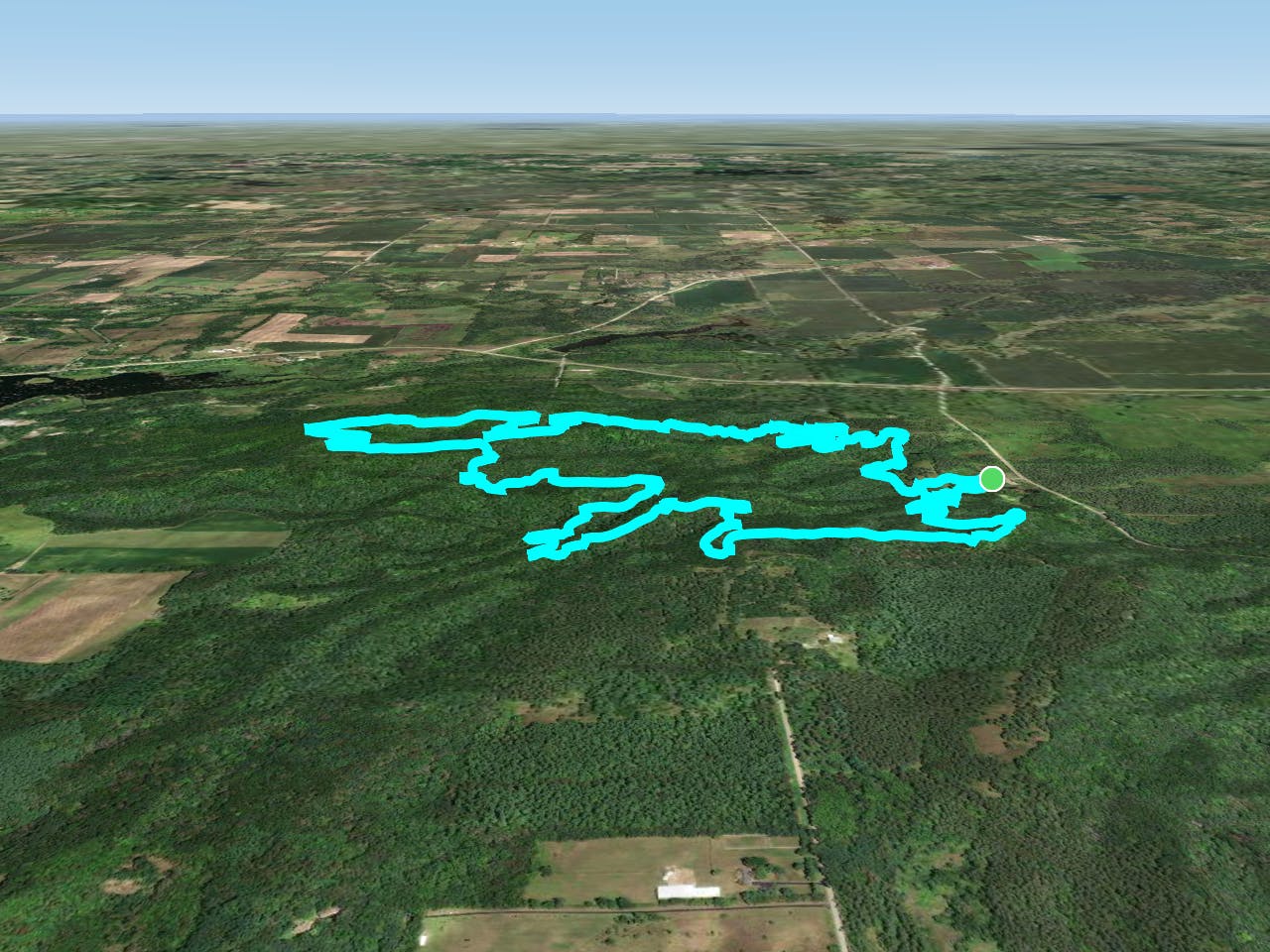
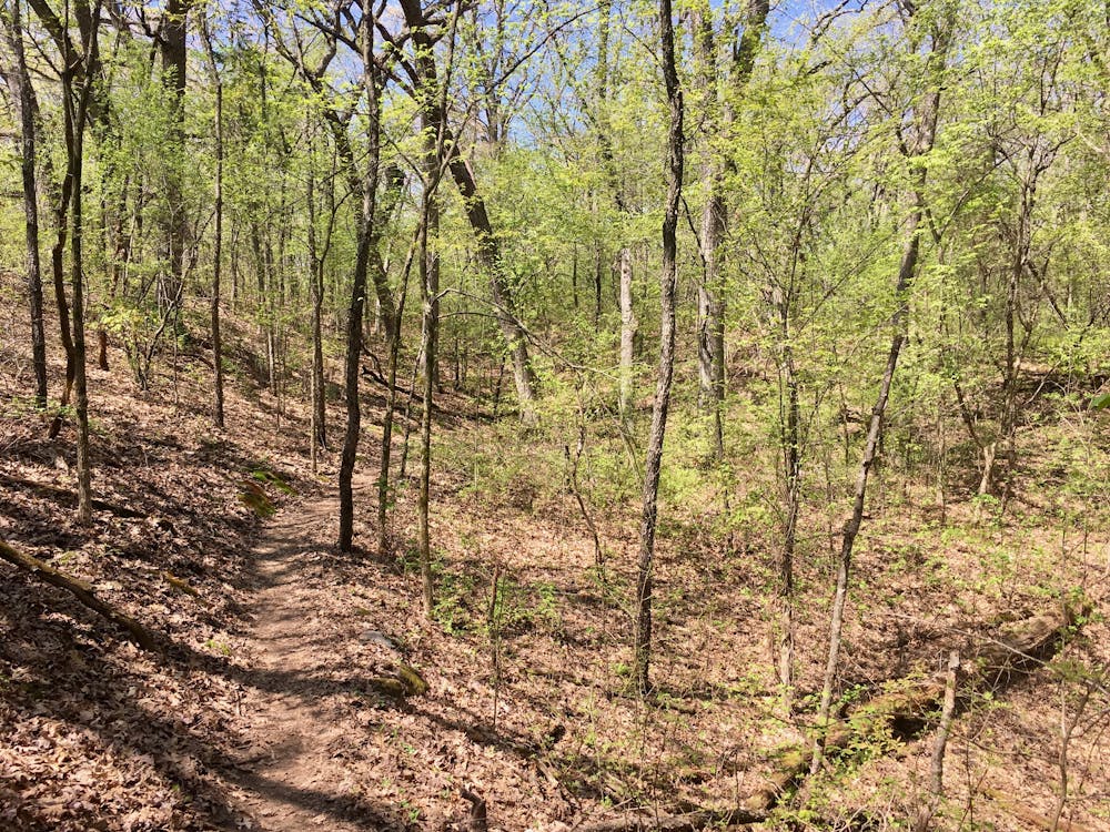
The Southern Unit of Wisconsin's Kettle Moraine State Forest is home to an extensive trail system known alternatively as the "John Muir Trails" or "Emma Carlin." The two names come from the respective trailheads and trail loops at either end of the trail network. Despite having distinct names, singletrack runs between the two networks, effectively creating a lengthy trail that is quite rare in this region of the Midwest. Easily accessible from three major metropolitan areas (Chicago, Milwaukee, and Madison), the high-quality singletrack attracts thousands of trail users every year.
To help keep up with the demand on the facilities and trail maintenance, out of state trail users will have to pay $11 for a day parking sticker. However, if you're an in-state local and plan to ride here often, an annual parking pass is just $28.
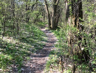
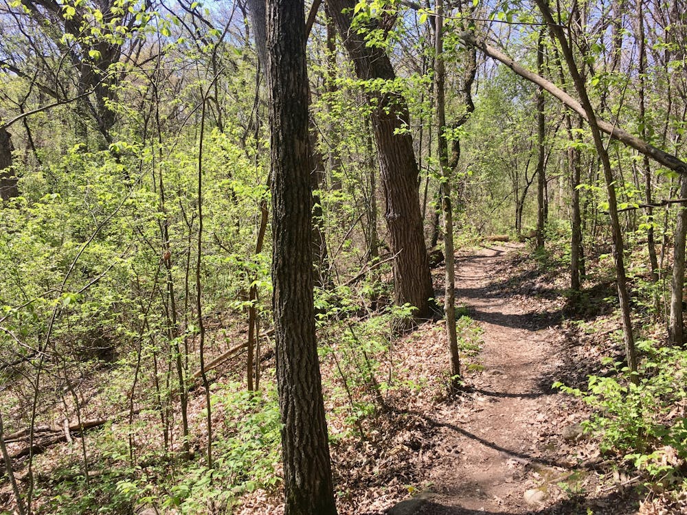
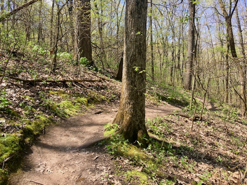
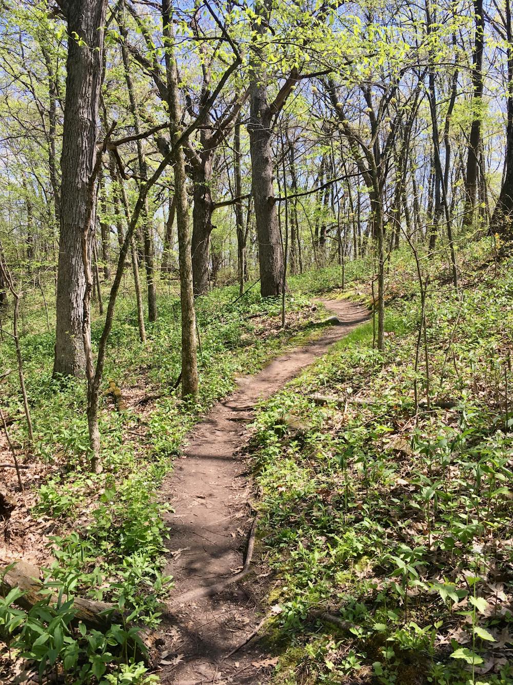
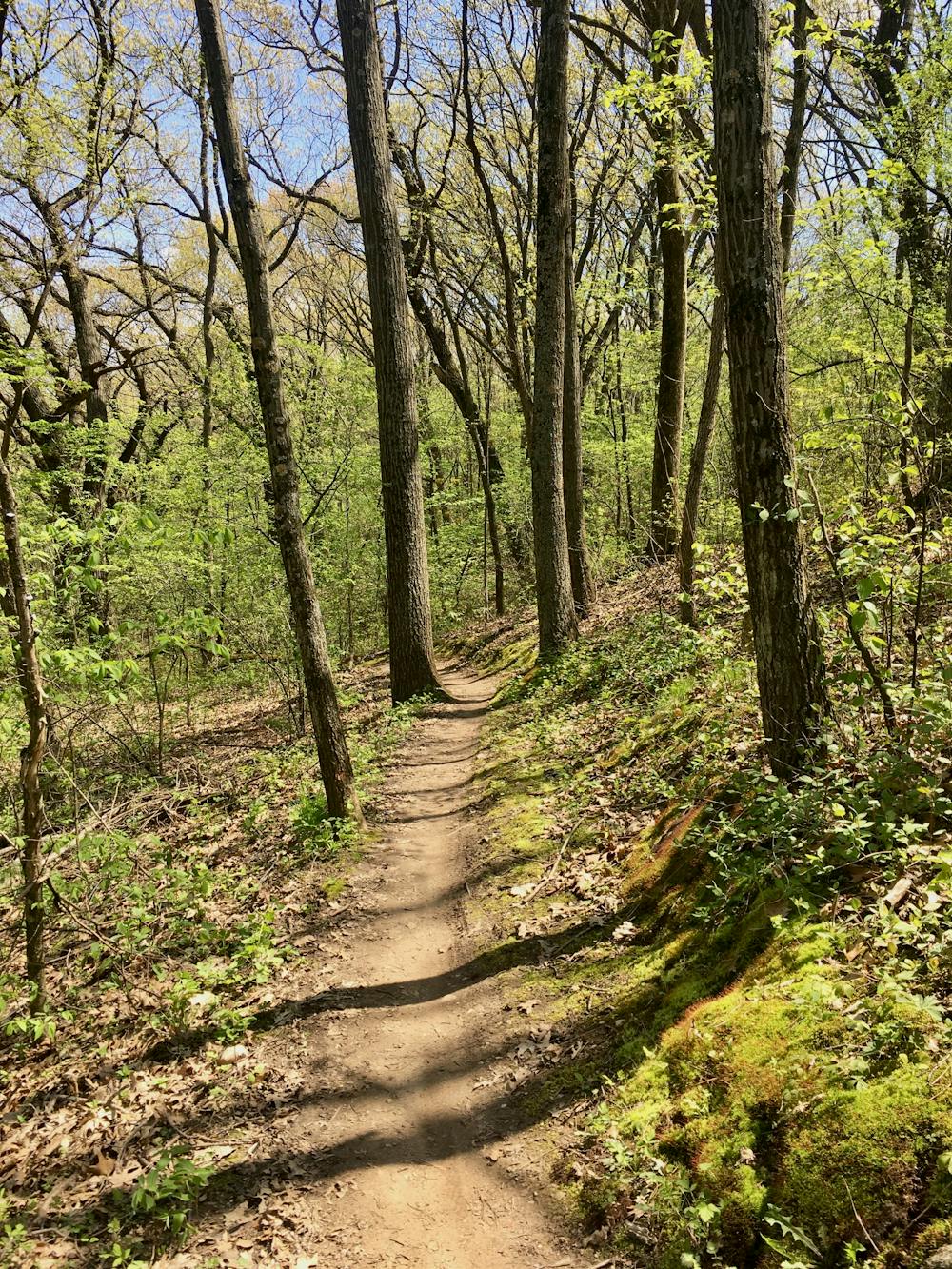
Emma Carlin provides a trail flavor that is a bit more conducive to hiking and trail running than the nearby John Muir trails. The singletrack has an old school feeling, with tight, twisty singletrack and slightly steeper climbs. Gaining 500 feet of elevation in 6.5 miles is a respectable workout by most standards!
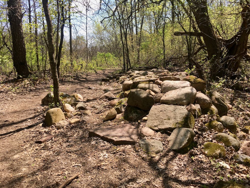
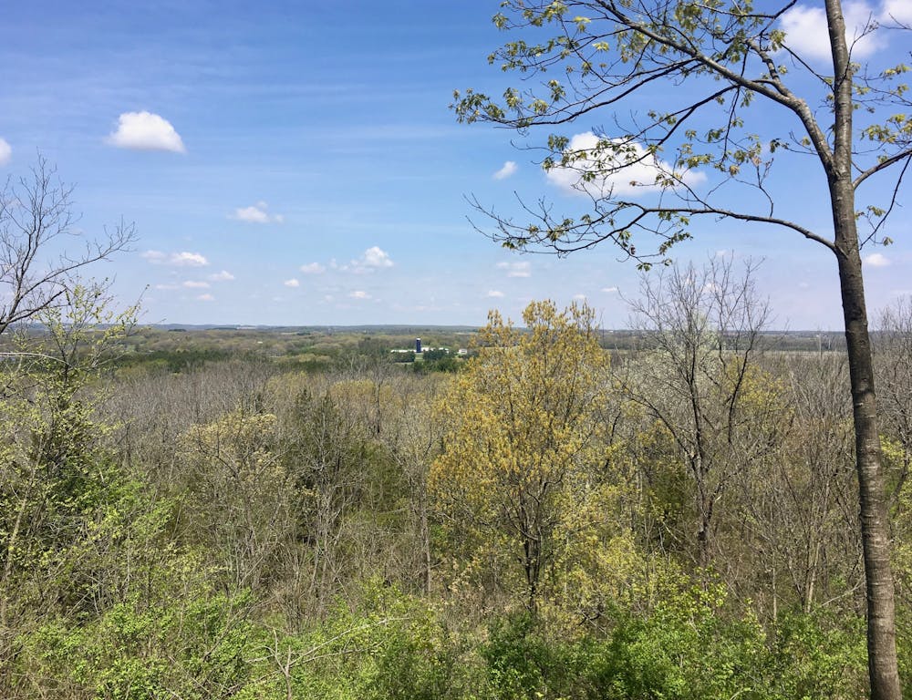
The trail runs through a delightful woodland, with beautiful hollows, aesthetic ridges, and delicious black dirt. The Green Loop also reaches a beautiful overlook of the surrounding forest and farmlands—a rarity in Wisconsin.
If you’d prefer a shorter route, Emma Carlin provides several shorter loops and bailout options than the one mapped here. The Brown Loop is 3.5 miles, and the Orange Loop measures 6 miles long.
Note: trail users on foot must travel counter-clockwise, against the direction of bike travel.
Moderate
Hiking along trails with some uneven terrain and small hills. Small rocks and roots may be present.

The path is on completely flat land and potential injury is limited to falling over.
Close to help in case of emergency.
7.4 km away
One of the best trails in Southern Wisconsin.
Moderate Hiking