7.4 km away
Emma Carlin Green Loop
Delightful singletrack gaining a beautiful view of the surrounding area.
Moderate Trail Running
- Distance
- 10 km
- Ascent
- 150 m
- Descent
- 150 m
One of the best trails in Southern Wisconsin, with the option to add much more mileage.
Trail Running Moderate

The Southern Unit of Wisconsin's Kettle Moraine State Forest is home to an extensive trail system known alternatively as the "John Muir Trails" or "Emma Carlin." The two names come from the respective trailheads and trail loops at either end of the trail network. Despite having distinct names, singletrack runs between the two networks, effectively creating a lengthy network that is quite rare in this region of the Midwest. Easily accessible from three major metropolitan areas (Chicago, Milwaukee, and Madison), the high-quality singletrack attracts thousands of trail users every year.
To help keep up with the demand on the facilities and trail maintenance, out of state trail users will have to pay $11 for a day parking sticker. However, if you're an in-state local and plan to ride here often, an annual parking pass is just $28.
So, are the trails worth the cost to run? Compared to most other trails in the region, the short answer is "yes!”
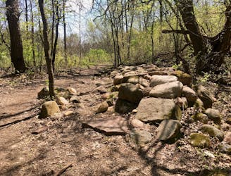
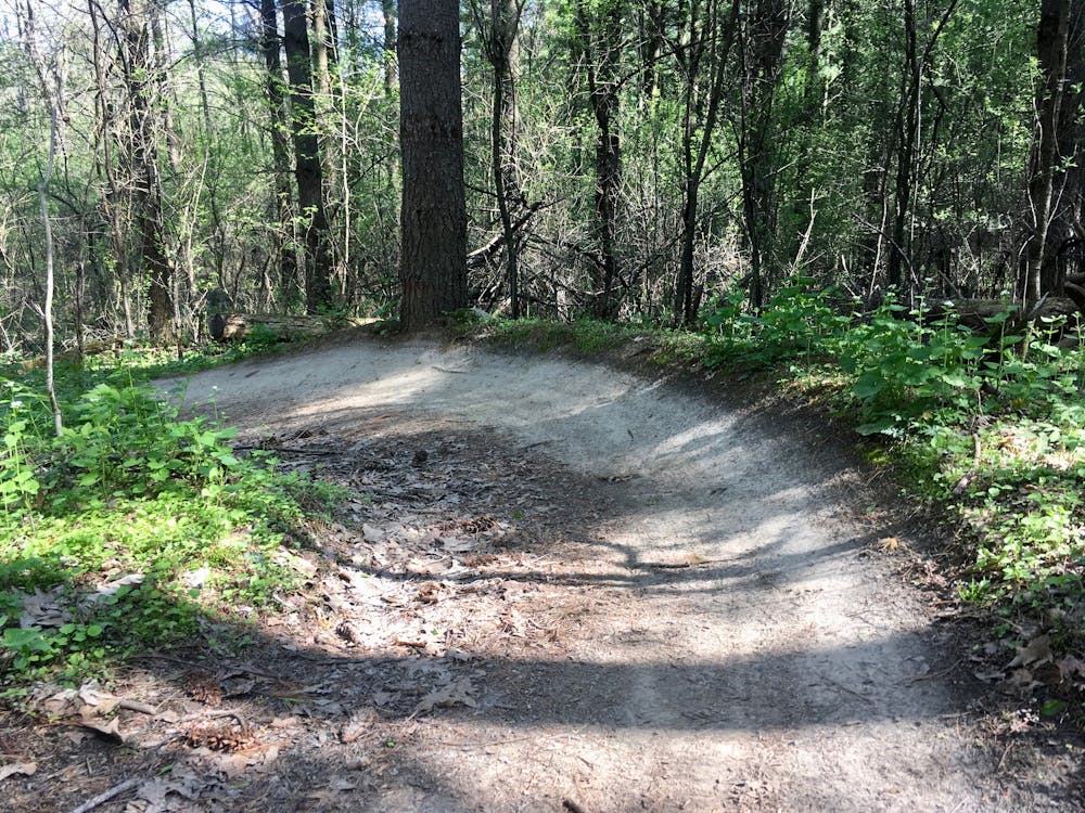
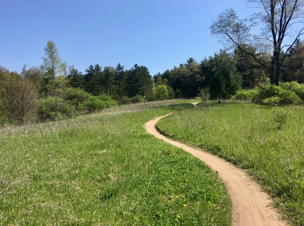
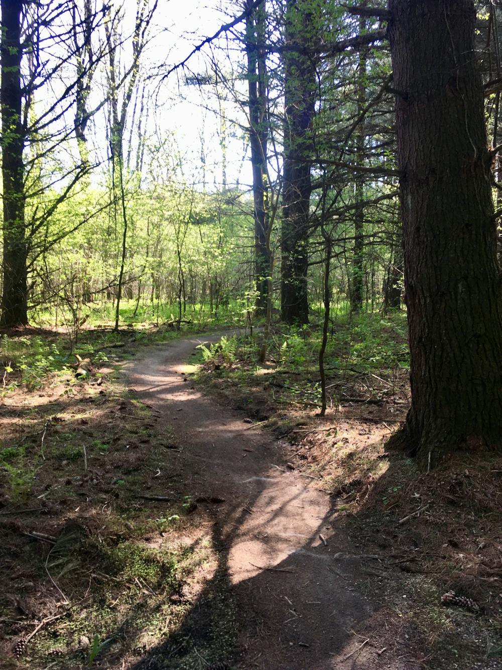
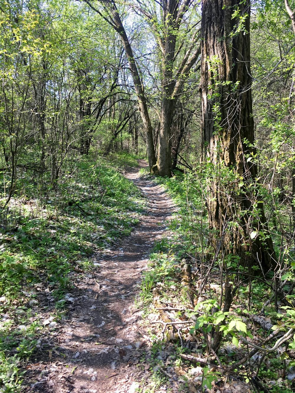
The trails at John Muir travel through a beautiful forest despite having been built in relatively flat Southern Wisconsin terrain. The singletrack swoops and flows through the tight trees. Deeper into the network, the trails get a little steeper and offer a bit more climbing to keep you honest. A few small pothole lakes provide a delightful respite from the thick woodlands.
If you’d prefer a shorter run, John Muir provides several shorter loops and bailout options than the one mapped here. The Brown Loop is just 1.25 miles; the White Loop is 3.05 miles; the Rainy Dew Pass trail is 4.66 miles; the Orange Loop is 4.95 miles; and the Green Loop is 7.07 miles. The route mapped here primarily follows the Blue Loop, but feel free to modify this route to your heart’s desire!
Note: trail users on foot must travel counter-clockwise, against the direction of bike travel.
Moderate

The path is on completely flat land and potential injury is limited to falling over.

Away from help but easily accessed.
7.4 km away
Delightful singletrack gaining a beautiful view of the surrounding area.
Moderate Trail Running