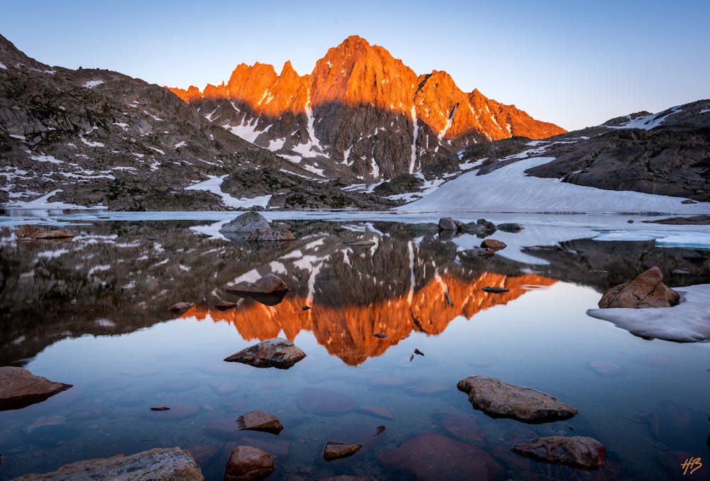
87 m away
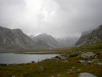
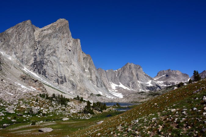
Titcomb Basin
One of the most coveted backpacking routes or all-day trail runs in the Wind River Range.
Difficult Hiking
- Distance
- 53 km
- Ascent
- 1.6 km
- Descent
- 1.6 km
Trek through the Northern Wind River Range exploring all of Titcomb and Indian Basins.
Hiking Difficult

This is a popular hiking route which is generally considered to be difficult. It's very remote, it features high exposure and is typically done between July and October. From a low point of 2.8 km to the maximum altitude of 3.7 km, the route covers 62 km, 2223 vertical metres of ascent and 2223 vertical metres of descent.
Trek through the Northern Wind River Range exploring all of Titcomb and Indian Basins.
Difficult
Hiking trails where obstacles such as rocks or roots are prevalent. Some obstacles can require care to step over or around. At times, the trail can be worn and eroded. The grade of the trail is generally quite steep, and can often lead to strenuous hiking.

Some trail sections have exposed ledges or steep ascents/descents where falling could cause serious injury.
Little chance of being seen or helped in case of an accident.
87 m away
One of the most coveted backpacking routes or all-day trail runs in the Wind River Range.
Difficult Hiking
88 m away
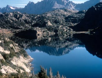
An overnight hike or all-day trail run to stunning glacial lakes known for their excellent fishing—a great alternative to Titcomb Basin.
Difficult Hiking
8 routes · Hiking