2.2 km away
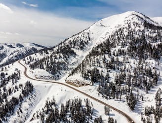
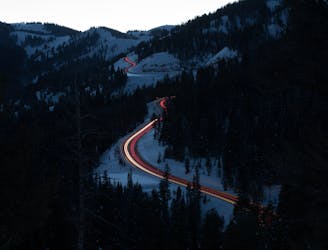
Taylor Ascent
A popular and iconic ski off Teton Pass. Perfect for those looking for a longer day tour.
Difficult Ski Touring
- Distance
- 2.5 km
- Ascent
- 934 m
- Descent
- 7 m
One of the most notable ski descents in the Teton Pass area
Ski Touring Difficult

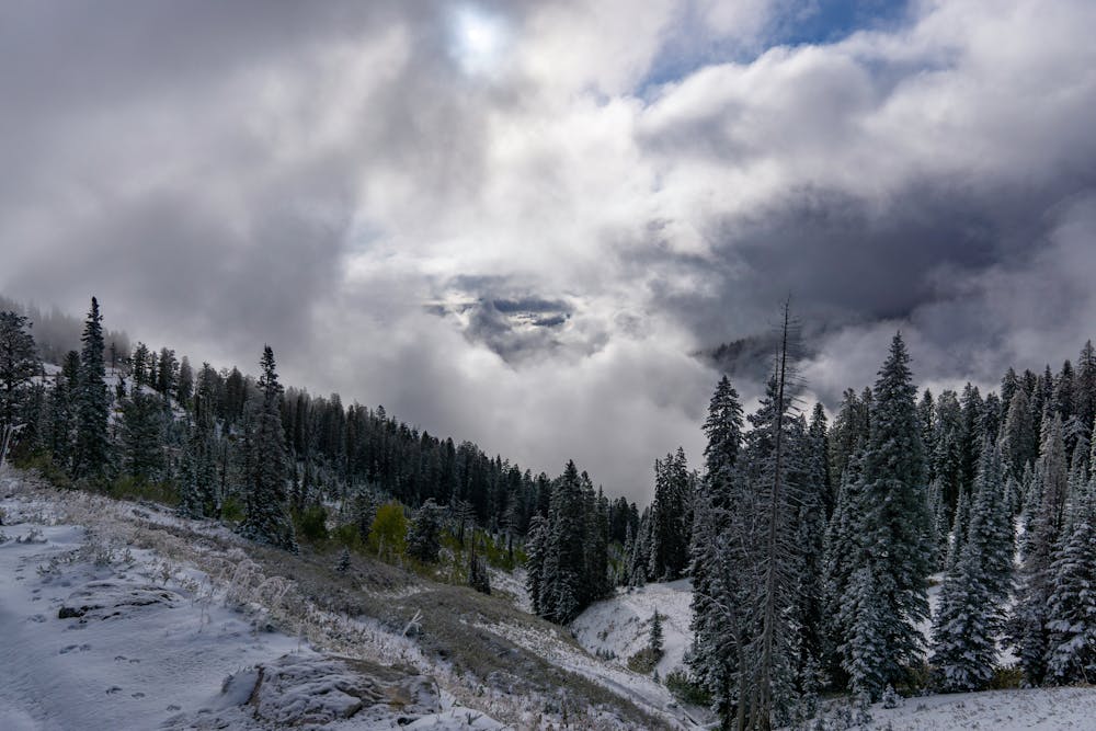
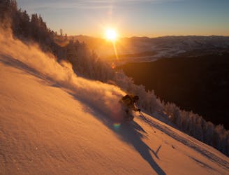
The east face of Taylor Mountain is a long and exhilarating ski. This route is full of small rocks and features to jump off with plenty of options for advanced riders anywhere along the ridge. If given the opportunity, this is well worth the effort to hike up.
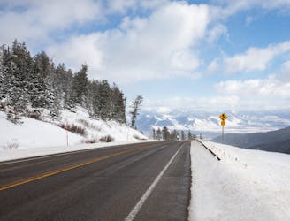
Start at the Coal Creek Parking Lot and follow the south ridge of Taylor Mountain to gain the summit. From there, drop in anywhere along the summit ridge that extends to the north-east. There are two noteworthy rock bands, at the very top and about 800 feet from the summit, where the skiers will have obstacles to ski through. In most snow conditions, these are widely spaced and very manageable.
This route has fewer trees than most on Teton Pass, as it is prone to avalanche regularly. In addition, the popular Coal Creek exit runs through the slide path of Taylor Mountain. Be aware of local conditions as you do not want to trigger something that could hit others.
The run begins to level off nearly 2000 feet below the summit in the Coal Creek valley. Simply follow the well traveled track down and out to return to the parking lot.
Difficult
Serious gradient of 30-38 degrees where a real risk of slipping exists.

As well as the slope itself, there are some obstacles (such as rock outcrops) which could aggravate injury.

Little chance of being seen or helped in case of an accident.
2.2 km away
A popular and iconic ski off Teton Pass. Perfect for those looking for a longer day tour.
Difficult Ski Touring
3.6 km away
An expansive tree skiing zone that is north-west facing.
Difficult Ski Touring
3.6 km away
Wide open tree skiing that's just a bit farther than the first turn
Difficult Ski Touring
3.6 km away
Steep, rocky, north facing terrain off the top of Glory.
Difficult Ski Touring
4.2 km away
A moderate skin track that weaves through the forest to the top of Mount Elly
Moderate Ski Touring
9.9 km away

Steep tree skiing at its finest.
Severe Ski Touring
10 routes · Ski Touring
8 routes · Freeride Skiing · Ski Touring