Åre Bike Park: Mt. Åreskutan Top to Bottom
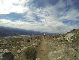
Barren mountain, ancient mountain birches, meandering forest paths, and stunning scenery.
Difficult Mountain Biking
- Distance
- 8 km
- Ascent
- 9 m
- Descent
- 894 m
Explore Jämtland with curated guides of the best ski routes, and more. With over 11 3D trail maps in FATMAP, you can easily discover and navigate the best trails in Jämtland.
No matter what your next adventure has in store, you can find a guide on FATMAP to help you plan your next epic trip.
Get a top trail recommendation in Jämtland, or get inspired by the 11 local adventures uploaded by the FATMAP community. Start exploring now!
Barren mountain, ancient mountain birches, meandering forest paths, and stunning scenery.
Difficult Mountain Biking

Fin ränna som erbjuder lagom mycket commitment.
Difficult Ski Touring

Bra trädlinje där man kan hålla god flyt genom hela åket.
Easy Ski Touring
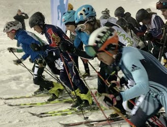
Åre Vertical Skimo Race
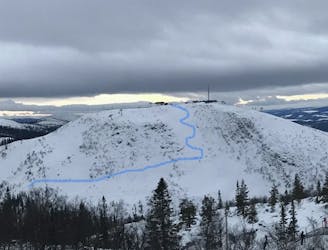
Difficult Ski Touring

Björnen - Åreskutan - Vänsterskuta - till Huså - Åreskutan - Björnen
Moderate Ski Touring
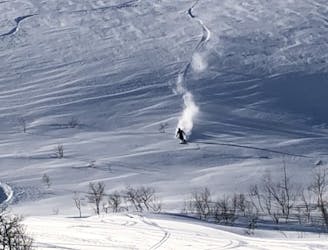
A short and challenging run
Difficult Freeride Skiing
A short run but with a steep slope.
Moderate Ski Touring

A short, easy-access run but usually with powder
Easy Freeride Skiing
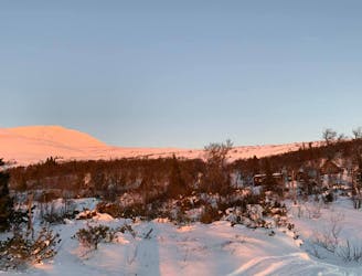
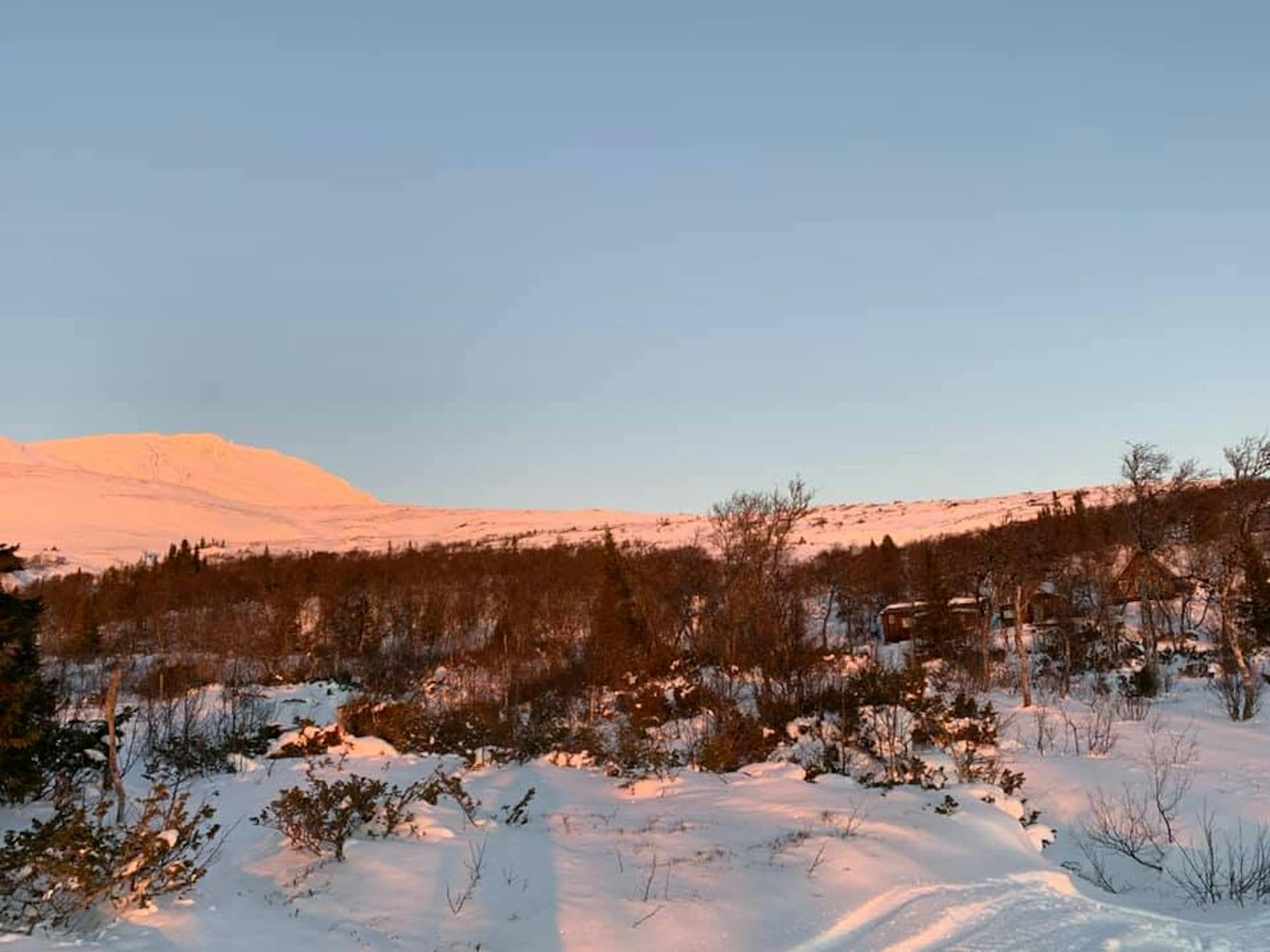
Early season ski touring (11/20). The most common route to climb to Åreskutan with touring skis. Started from the outdoor gym parking lot in Björnen and climbed (ski toured) to the peak. The snow was a bit limiting, so the middle part of the freeride ski route wasn't that easy due to it.
Moderate Ski Touring

Otterbjörk Style - Hamrafjällsleden towards the top
Moderate Hiking
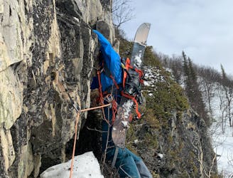
Visible line from all over Funäsdalen, high exposure but with at great reward.
Moderate Alpine Climbing