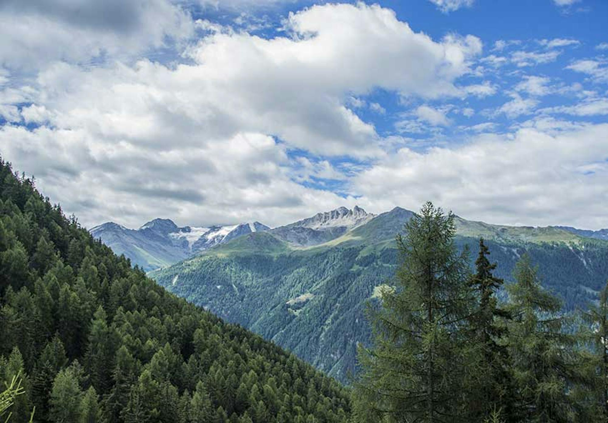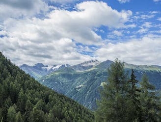
The bisse of St Martin takes its water in the torrent of Mounire and flows towards the hamlets of Baule and Granges - Neuves, because in the middle of the course it separates in two arms.
Easy Hiking
- Distance
- 5.2 km
- Ascent
- 256 m
- Descent
- 255 m

The bisses of Ossona and Sevanne are part of a pilot project of the confederation to rehabilitate the rural habitat on the plateaus of Ossona and Sevanne. The Ossona Bisse was rebuilt in the 2000s. The bisse de Sevanne is abandoned for now.
Easy Hiking
- Distance
- 3.3 km
- Ascent
- 161 m
- Descent
- 161 m
Built around 1460, this bisse contains water along its entire length which is unusual for a bisse at such altitude.
Moderate Hiking
- Distance
- 19 km
- Ascent
- 157 m
- Descent
- 1.1 km
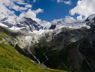
This bisse was built in 2010. The environment of this bisse is very alpine. It can be traversed in a loop by taking the spectacular footbridge that spans the last glacier tongue of the Corbassière glacier.The climb from Fionnay to join the bisse is rough, but once arrived, the landscape is so beautiful that we forget the effort.
Difficult Hiking
- Distance
- 16 km
- Ascent
- 1.2 km
- Descent
- 1.2 km

Opened in 1908, this bisse was abandoned in 1942. It was completely restored and a new trail inaugurated in October 2013
Easy Hiking
- Distance
- 4.8 km
- Ascent
- 176 m
- Descent
- 180 m

A nice stroll through the forest and pastures to a nice chalet serving refreshments before doing a loop back to the refreshing waters of the lake.
Easy Hiking
- Distance
- 3.9 km
- Ascent
- 169 m
- Descent
- 167 m

An easy walk along one of the Bisses du Valais. A shady trail with a little cafe stop in the valley,
Easy Hiking
- Distance
- 4.5 km
- Ascent
- 342 m
- Descent
- 91 m

Complete Haute Route - By Pygmy Elephant Travel
Difficult Hiking
- Distance
- 114 km
- Ascent
- 8.6 km
- Descent
- 8.5 km
Breathtaking hike from Chindonne to the Refuge de Chalin, at the foot of Dents du Midi
Difficult Hiking
- Distance
- 11 km
- Ascent
- 1.1 km
- Descent
- 1.1 km

Jims 50 års gavekort
Moderate Hiking
- Distance
- 74 km
- Ascent
- 5.4 km
- Descent
- 5.2 km
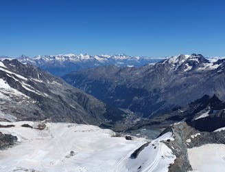
Allalinhorn's ascent via the Hohlaubgrat route, in two days.
Difficult Hiking
- Distance
- 11 km
- Ascent
- 1.1 km
- Descent
- 692 m
Allalinhorn's ascent via the Hohlaubgrat route, in two days.
Moderate Hiking
- Distance
- 11 km
- Ascent
- 1.4 km
- Descent
- 157 m

short swiss thru hike
Difficult Hiking
- Distance
- 142 km
- Ascent
- 9.7 km
- Descent
- 10 km
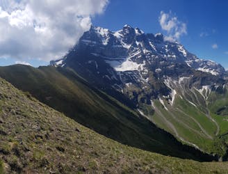
A steep climb to the foot of Zinalrothorn.
Difficult Hiking
- Distance
- 7.8 km
- Ascent
- 1.6 km
- Descent
- 16 m

Hiking route from Chamonix to Zermatt
Difficult Hiking
- Distance
- 205 km
- Ascent
- 17 km
- Descent
- 16 km
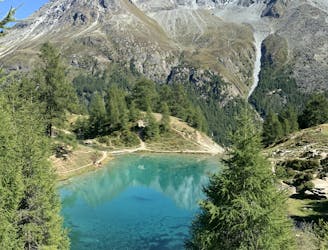
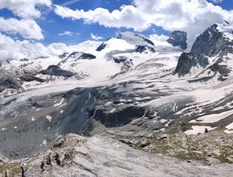
Beautiful path through the forest to go to the blue lake of Arolla.
Moderate Hiking
- Distance
- 9.6 km
- Ascent
- 630 m
- Descent
- 636 m