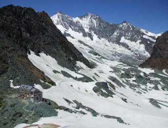
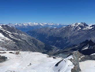
Approach to the Mischabel Hut
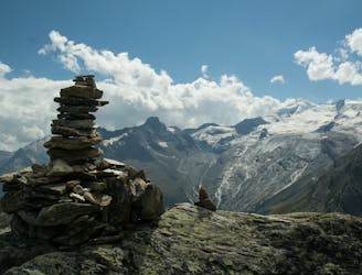
A very steep walk, luckily made shorter by the lift from Saas Fee
Extreme Hiking
- Distance
- 3.9 km
- Ascent
- 1.1 km
- Descent
- 66 m
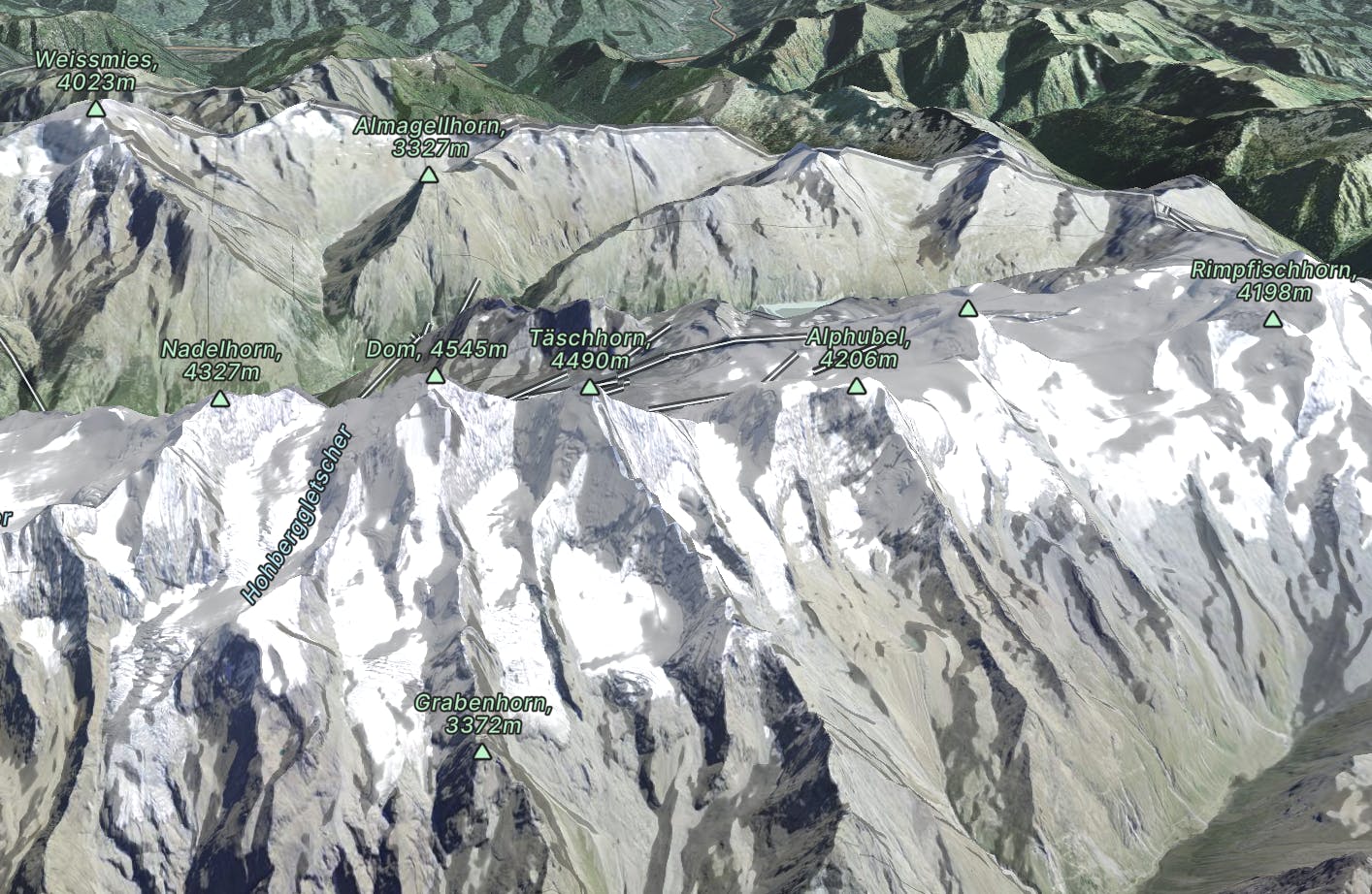
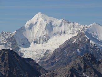
Crowned by the 3rd highest mountain in the Alps, The Dom, its a mountaineer's dream with many mountains about 3000m
Go hiking in The Mischabel Range with curated guides of the best hikes across the region. With over 85 3D trail maps in FATMAP, you can easily discover and navigate the best trails in The Mischabel Range.
No matter what your next adventure has in store, you can find a guide on FATMAP to help you plan your next epic trip.
Get a top hiking trail recommendation in The Mischabel Range from one of our 18 guidebooks, or get inspired by the 85 local adventures uploaded by the FATMAP community. Start exploring now!
A very steep walk, luckily made shorter by the lift from Saas Fee
Extreme Hiking
A relatively short approach if you opt for the taxi, or a long cheap one
Moderate Hiking
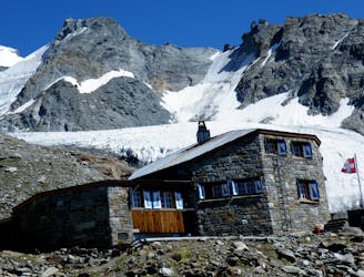
A short trip to a well positioned hut.
Moderate Hiking
A bruiser of a hut approach, but in a beautiful environment.
Severe Hiking
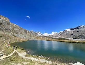
A lovely but long walk through the forest with panoramic views of the 4000m giants
Difficult Hiking
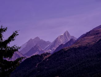
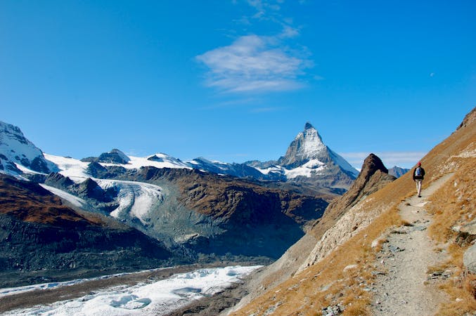
Family friendly walk with incredible views of the Matterhorn
Easy Hiking

Complete Haute Route - By Pygmy Elephant Travel
Difficult Hiking
Allalinhorn's ascent via the Hohlaubgrat route, in two days.
Difficult Hiking

9 routes · Alpine Climbing · Hiking
10 routes · Hiking

11 routes · Alpine Climbing · Hiking

10 routes · Alpine Climbing · Hiking

6 routes · Alpine Climbing · Hiking

10 routes · Alpine Climbing · Hiking

9 routes · Alpine Climbing · Hiking

20 routes · Alpine Climbing · Hiking