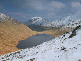
Bowscale Fell via Bowscale Tarn
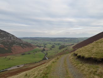
This northernmost summit of the Blencathra range has a hidden scenic corner, the high glacial bowl of Bowscale Tarn.
Moderate Hiking
- Distance
- 4.7 km
- Ascent
- 289 m
- Descent
- 461 m
Explore Cumbria with curated guides of the best hiking trails, mountain bike trails, trail running routes, and more. With over 149 3D trail maps in FATMAP, you can easily discover and navigate the best trails in Cumbria.
No matter what your next adventure has in store, you can find a guide on FATMAP to help you plan your next epic trip.
Get a top trail recommendation in Cumbria from one of our 10 guidebooks, or get inspired by the 149 local adventures uploaded by the FATMAP community. Start exploring now!
This northernmost summit of the Blencathra range has a hidden scenic corner, the high glacial bowl of Bowscale Tarn.
Moderate Hiking
This Cumbrian crowd-pleaser is an oldie, but a goodie.
Severe Hiking
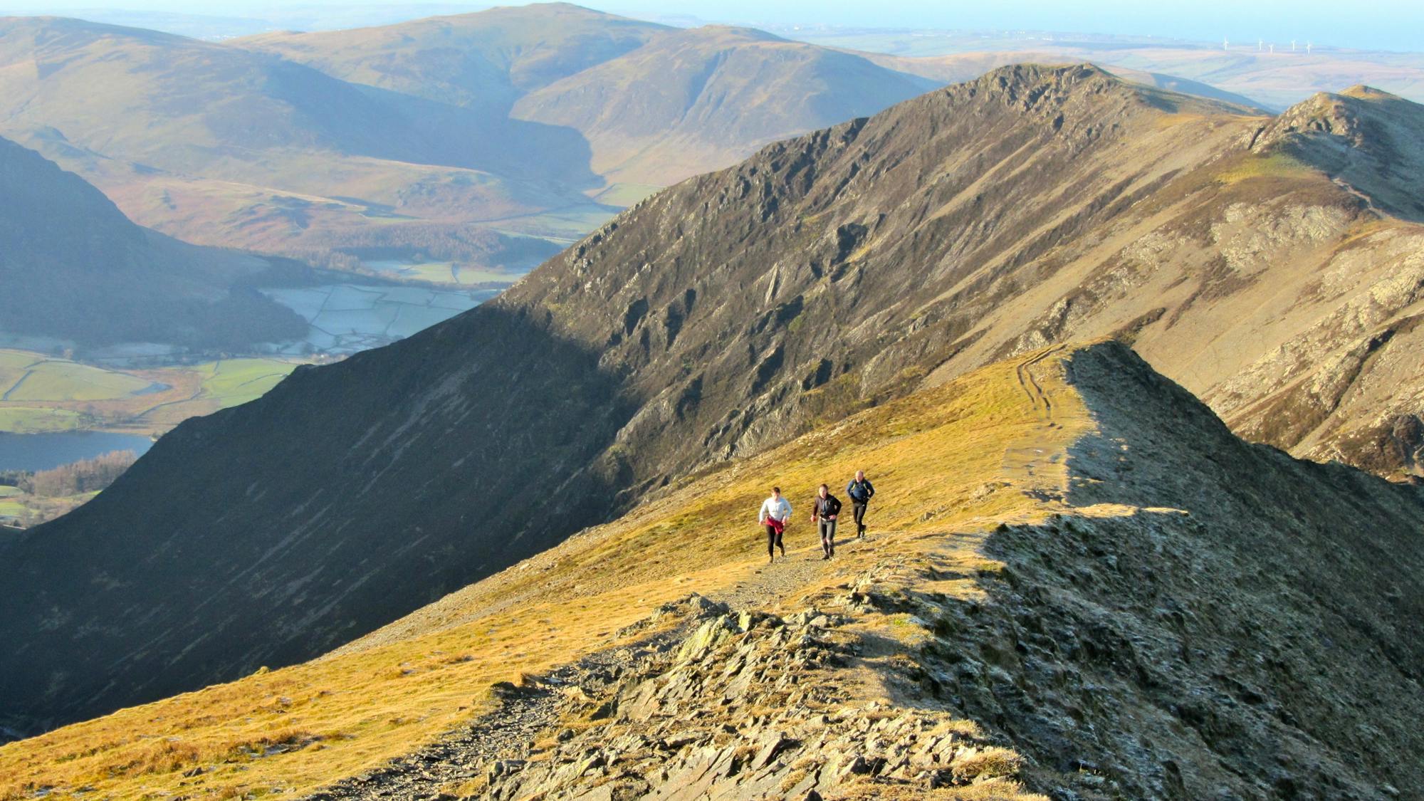
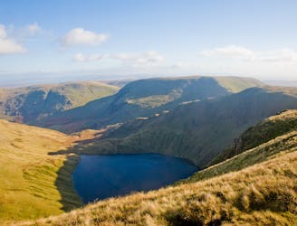
People have walked High Street for thousands of years, and they'll probably be doing so for generations to come.
Difficult Hiking
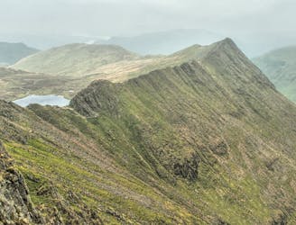
Overwhelming popularity cannot diminish the spectacular class of England’s finest ridge walking horseshoe, a circuit of the chiseled crests cupping the Red Tarn cove.
Severe Hiking
This classic route has it all and is justly popular but don’t let the crowds put you off; wait until later in the day and there’s a good chance you’ll have it to yourself!
Extreme Hiking
This celebrated round packs a lot into its ten and a half miles, giving easy striding and ever-improving vistas culminating on one of the best-loved peaks in Lakeland.
Difficult Hiking
The easiest of the legs of the Bob Graham Round with half the distance being on roads.
Difficult Hiking
An excellent walk taking in an unusual combination of hills, and full of interest all the way.
Moderate Hiking
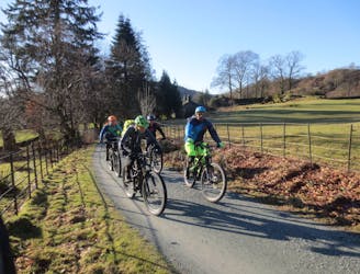
A brutally steep climb on the way up becomes a wild, fast and furious descent on the return journey.
Severe Mountain Biking
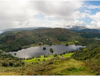
For one of the best short routes in the north Lakes combine the charismatic mini mountain Cat Bells with a ramble along the wooded west side of Derwentwater - perhaps the most picturesque shoreline in England.
Moderate Hiking
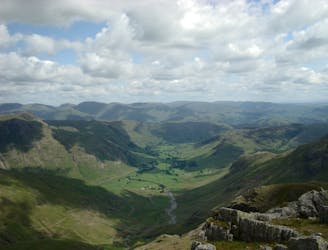
This stern, stony mountain sprawls over a large area, its many impressive corners offering some of the grandest mountain scenery in the Lake District.
Difficult Hiking
A superb and popular ride with stunning views, testing but rideable climbs, and brilliant descents.
Difficult Mountain Biking
The second half of this route takes in much of the roughest ground in the Lake District and you need the fell craft of a goat to keep up a good pace.
Extreme Hiking

Wrynose Pass - Great Carrs - Swirl How - Prison Band - Wetherlam - Brim Fell - Grey Friars - Wrynose Pass
Difficult Hiking

River Caldew - Wiley Gill - Great Calva - Knott - Great Lingy Hut - High Pike - Carrock Fell - Drygill Head - Great Lingy Hut - Arm P' Grain - Carrock Wolframite Mine - Grainsgill Beck - River Caldew
Difficult Hiking

Cat Bells - Maiden Moor - High Spy - Dale Head - Hindscarth
Moderate Hiking