Glyder Fawr and Glyder Fach
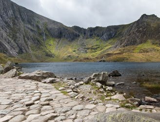
One of Snowdonia's most classic hikes along one of its most scenic ridges
Difficult Hiking
- Distance
- 8.5 km
- Ascent
- 766 m
- Descent
- 766 m
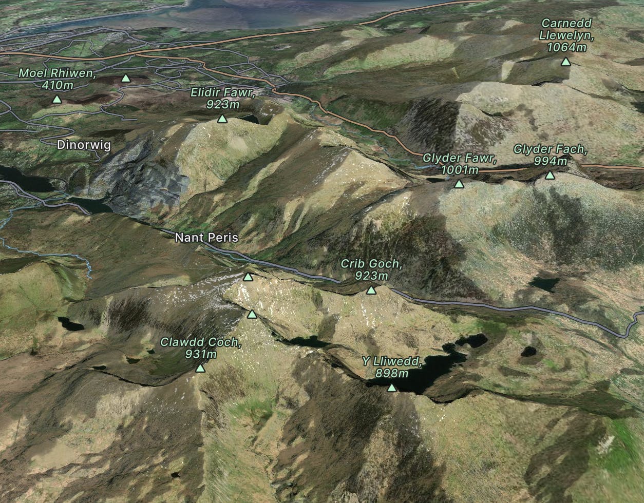
The highest mountain in Wales, and the most popular summit in the UK
Go hiking in Snowdonia with curated guides of the best hikes across the region. With over 40 3D trail maps in FATMAP, you can easily discover and navigate the best trails in Snowdonia.
No matter what your next adventure has in store, you can find a guide on FATMAP to help you plan your next epic trip.
Get a top hiking trail recommendation in Snowdonia from one of our 2 guidebooks, or get inspired by the 40 local adventures uploaded by the FATMAP community. Start exploring now!

One of Snowdonia's most classic hikes along one of its most scenic ridges
Difficult Hiking
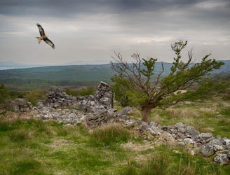
This is a circular six mile walk, starting and ending at the little footbridge at Beddgelert.
Easy Hiking
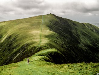
A grassy stride along elegant curved arêtes, the traverse of the main ridge linking all the summits in the range is a classic Welsh walk, with a rare sense of peace and spacious seaward views.
Severe Hiking
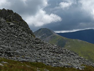
A good challenge for any fit walker, which also is one of the best walks in Snowdownia.
Extreme Hiking
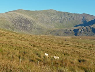
Snowdon isn’t short of great walking routes to its crowded summit, but if you think they are all infested with other folk you can think again.
Difficult Hiking
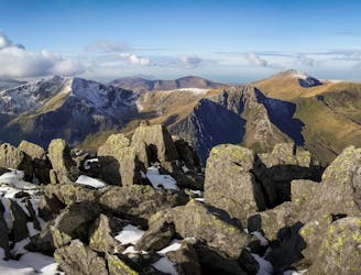
If it’s a superb walk in relative solitude you’re after then folk in the know will point you at those big old lumps where scenes of genuine grandeur can also be won, but unlike the cheap thrills of their Ogwen brethren, the secrets of the Carneddau must be earned.
Difficult Hiking
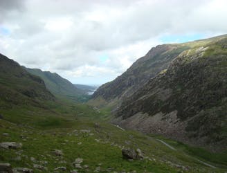
Perhaps it's only fitting that the highest mountain in Wales boasts the country's greatest all-day scrambly ridge traverse.
Extreme Hiking
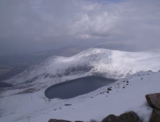
Hideously scarred and cruelly exploited it may well be, but Elidir Fawr is often the choice of the connoisseur when a quick 3000er is the order of the day.
Difficult Hiking
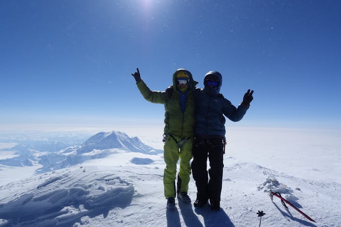
18 routes · Alpine Climbing · Hiking
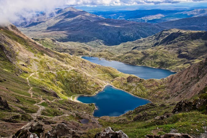
10 routes · Hiking