75 routes · Ski Touring · Hiking · Mountain Biking · Freeride Skiing
Go hiking in Perthshire and Kinross with curated guides of the best hikes across the region. With over 15 3D trail maps in FATMAP, you can easily discover and navigate the best trails in Perthshire and Kinross.
No matter what your next adventure has in store, you can find a guide on FATMAP to help you plan your next epic trip.
Get a top hiking trail recommendation in Perthshire and Kinross from one of our 1 guidebooks, or get inspired by the 15 local adventures uploaded by the FATMAP community. Start exploring now!
75 routes · Ski Touring · Hiking · Mountain Biking · Freeride Skiing
27 routes · Hiking
A superb long distance trek from the Lowlands to the Highlands, across the country of Scotland.
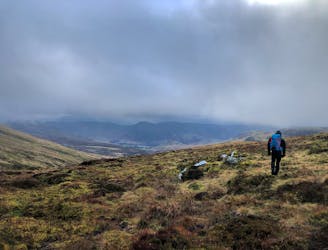
Difficult Hiking
An easier Munro to claim!
Moderate Hiking
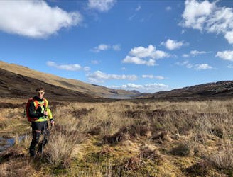
50% path, 50% bog
Moderate Hiking
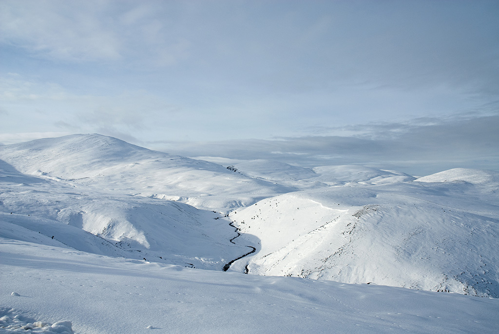
At 1,214 metres high, Ben Lawers is the 10th highest mountain in the UK and the highest in the Southern Highlands. It sits at the centre of a chain of 7 Munros which fit walkers can achieve in one long day.
Moderate Hiking

To begin the three-day wild trek through the Cairngorms, a classic Scottish Glen (steep-sided with a rushing river and falls) leads up to wide-open heather hills, and the section ends at the remote location of Bynack Lodge ruins.
Difficult Hiking

Walk beside the relatively broad River Tummel only briefly before following River Garry into its narrow and thickly wooded ravine, then through a higher valley and a string of small farm villages.
Moderate Hiking

Back on Rob Roy Way and in more developed country, the trail traces the wooded banks of River Tay, then climbs through moorland and forestry to enter the next valley, that of River Tummel and Pitlochry.
Moderate Hiking

Walk along the loch and through farmland in a broad glen, climb out onto rolling moorland, then descend gradually along a burn before dropping dramatically through the Birks of Aberfeldy—a series of waterfalls in a wooded gorge.
Moderate Hiking

9 routes · Hiking