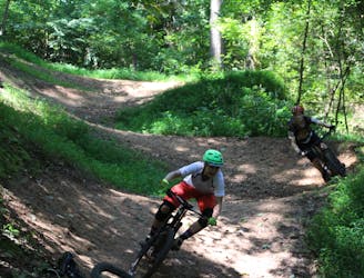
DH 3
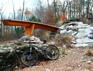
DH 3, a black diamond, has the notorious pirate log plank that will test both your courage and balance.
Severe Mountain Biking
- Distance
- 1.4 km
- Ascent
- 7 m
- Descent
- 106 m
Explore Arkansas with curated guides of the best hiking trails, mountain bike trails, trail running routes, and more. With over 107 3D trail maps in FATMAP, you can easily discover and navigate the best trails in Arkansas.
No matter what your next adventure has in store, you can find a guide on FATMAP to help you plan your next epic trip.
Get a top trail recommendation in Arkansas from one of our 17 guidebooks, or get inspired by the 107 local adventures uploaded by the FATMAP community. Start exploring now!
DH 3, a black diamond, has the notorious pirate log plank that will test both your courage and balance.
Severe Mountain Biking
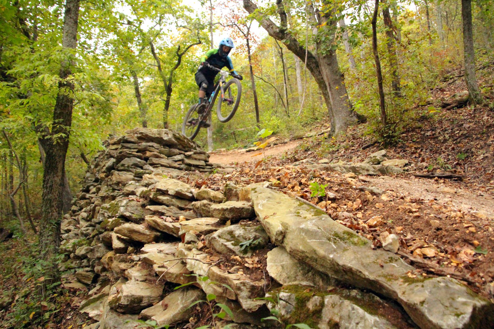
DH 2, a black diamond, is loaded with kickers and gap jumps that are sure to challenge most riders.
Severe Mountain Biking
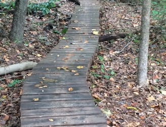
Leopard's Loop is a nice, flowy run, with a long, narrow wooden meandering bridge being the main attraction.
Difficult Mountain Biking

This trail routes cyclists in Park Springs to the tunnel, leading to an adjoining trail system.
Moderate Mountain Biking
Short bermy trail.
Moderate Mountain Biking

This is a connector trail back to the main parking lot for Slaughter Pen located at North Walton Blvd.
Moderate Mountain Biking

This trail basically is used to route cyclists to the top of Schroen Train for repeats.
Difficult Mountain Biking

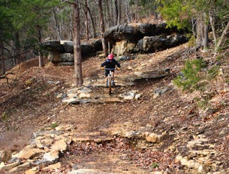
A technical line on Slaughter Pen's East Side, filled with big, challenging features.
Severe Mountain Biking

This is another trail in Slaughter Pen that experienced major improvement during early 2018, with the addition of drops and rock kickers.
Difficult Mountain Biking

A great singletrack that routes cyclists across the hillside with short rocky climbs and descents.
Difficult Mountain Biking

Singletrack connecting Coler East and West, plus east parking lot.
Moderate Mountain Biking