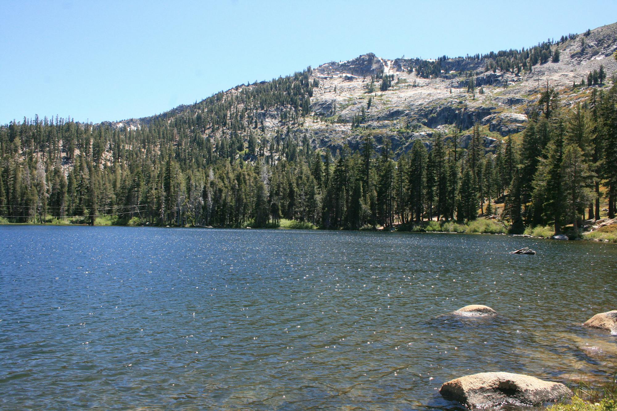
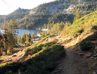
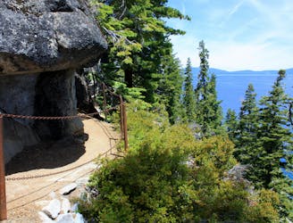
Angora Lakes Trail
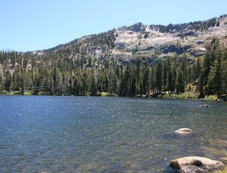
Short hike to a stunning alpine lake with the amenities of day-use or overnight kayak and cabin rentals at Angora Lakes Resort.
Moderate Hiking
- Distance
- 5.6 km
- Ascent
- 344 m
- Descent
- 343 m
Go hiking in California with curated guides of the best hikes across the region. With over 1098 3D trail maps in FATMAP, you can easily discover and navigate the best trails in California.
No matter what your next adventure has in store, you can find a guide on FATMAP to help you plan your next epic trip.
Get a top hiking trail recommendation in California from one of our 79 guidebooks, or get inspired by the 1098 local adventures uploaded by the FATMAP community. Start exploring now!
Short hike to a stunning alpine lake with the amenities of day-use or overnight kayak and cabin rentals at Angora Lakes Resort.
Moderate Hiking
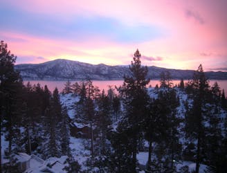
Short uphill hike to a beautiful viewpoint and historic fire lookout over the north end of Lake Tahoe.
Easy Hiking
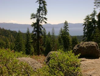
Hike along the rolling ridgelines west of Lake Tahoe with epic views over the lake plus tranquility among shady forest and flowery meadows.
Difficult Hiking
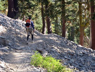
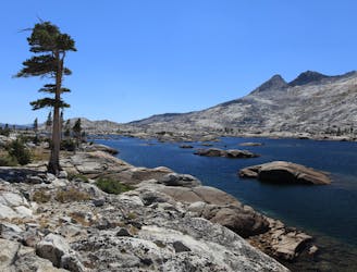
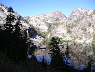
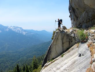
A section shared with the Pacific Crest Trail that tours many alpine lakes and incredible overlooks in the glacier-carved granite valleys of the Sierra Nevada’s Desolation Wilderness.
Difficult Hiking
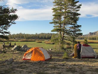
Explore a patchwork of forests, meadows, and lakes in the Upper Truckee River Basin south of Lake Tahoe.
Difficult Hiking
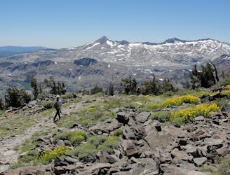
One of the most scenic parts of the Tahoe Rim Trail, this section begins the visible transition from the arid slopes of the Carson Range to the lake-speckled glacial basins of the greater Sierra Nevada.
Difficult Hiking
A strenuous but gorgeous segment through the Mount Rose Wilderness Area and over the trail’s highest point, Relay Peak (10,338 ft).
Difficult Hiking
Beginning at the lowest elevation point of the Tahoe Rim Trail, this section is the start of a 165-mile journey through the mountains around Lake Tahoe.
Easy Hiking
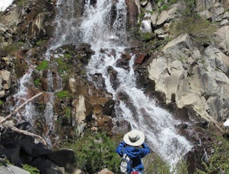
Easy hike past waterfalls, lakes, and a historic springs resort that leads to more strenuous trails in the Desolation Wilderness, including a way to the top of Mount Tallac.
Moderate Hiking
Short trail from Fallen Leaf Lake Campground with views of the lake and Taylor Creek.
Easy Hiking
Stroll along a portion of the Tahoe Rim Trail beside large alpine lakes.
Easy Hiking
A scenic hike along Lake Tahoe's shore that links overlooks, swimming beaches, a waterfall, and a historic mansion in two state parks.
Moderate Hiking
Legendary thru hike of America’s West Coast states, from the southern deserts at the Mexico border, through some of the country’s highest mountains, to the Northwest forests and the Canadian border.
Difficult Hiking
Stroll through the forest past alpine lakes, then tackle a strenuous climb to the top of the proudest peak on Lake Tahoe's shore.
Difficult Hiking
Easy uphill hike past a waterfall to a lake in the mountains outside Emerald Bay State Park.
Easy Hiking
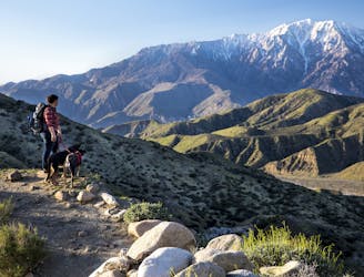
A committing crossing of California's Sierra Nevada with the option to summit Mt. Whitney.
Difficult Hiking