San Francisco Bay Trail

Explore one of the world's most famous coastlines and the vibrant city it is home to
Moderate Hiking
- Distance
- 97 km
- Ascent
- 743 m
- Descent
- 743 m
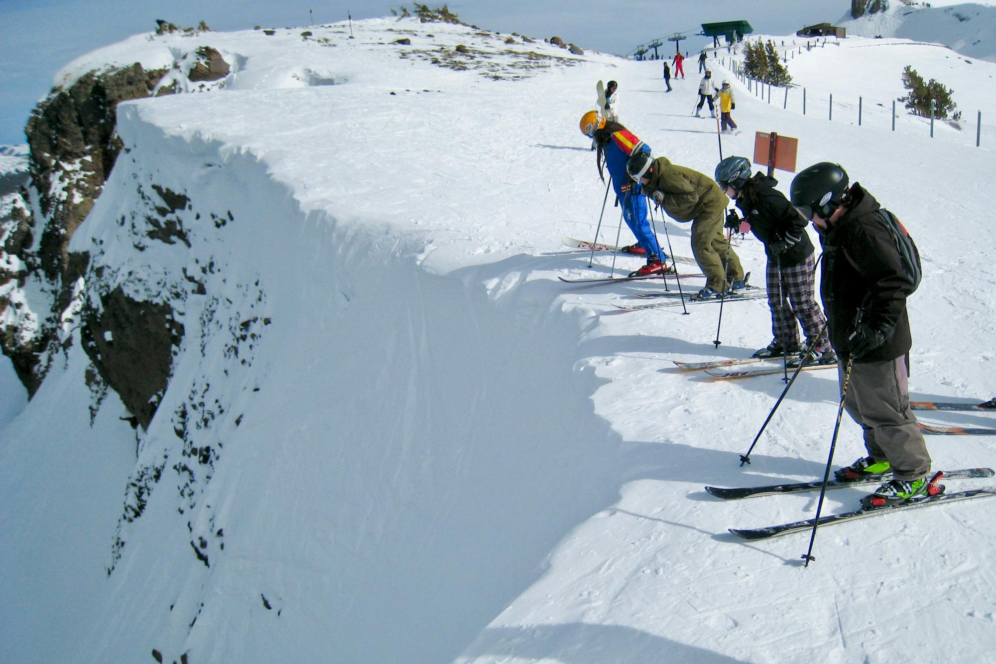
Explore California with curated guides of the best hiking trails, mountain bike trails, trail running routes, ski routes, and more. With over 1098 3D trail maps in FATMAP, you can easily discover and navigate the best trails in California.
No matter what your next adventure has in store, you can find a guide on FATMAP to help you plan your next epic trip.
Get a top trail recommendation in California from one of our 79 guidebooks, or get inspired by the 1098 local adventures uploaded by the FATMAP community. Start exploring now!
Explore one of the world's most famous coastlines and the vibrant city it is home to
Moderate Hiking
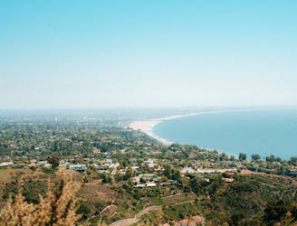
Reach one of the finest viewpoints in Greater LA
Moderate Hiking

900 acres of open space in the heart of Orange County
Easy Hiking

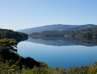
A long and spectacular trip around a gorgeous lake
Difficult Hiking
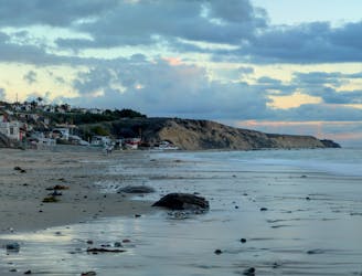
Enjoy the vastness of the Pacific between Newport and Laguna Beaches
Moderate Hiking

One of the shortest, most direct hikes to reach the Hollywood Sign.
Moderate Hiking

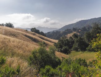
A stunning loop hike in the Cucamonga Wilderness.
Difficult Hiking

A short, fairly steep hike to a beautiful view from the Griffith Observatory.
Difficult Hiking

An extremely scenic portion of the San Francisco Bay Trail.
Easy Gravel Biking

An extremely scenic portion of the San Francisco Bay Trail.
Easy Trail Running

An extremely scenic portion of the San Francisco Bay Trail.
Moderate Road Biking

An extremely scenic portion of the San Francisco Bay Trail.
Easy Hiking
An easy hike to a stunning view of the Santa Monica Mountains.
Easy Hiking
A paved multi-use trail that passes several beautiful reservoirs.
Easy Hiking

A paved multi-use trail that passes several beautiful reservoirs.
Easy Trail Running

A paved multi-use trail that passes several beautiful reservoirs.
Easy Road Biking