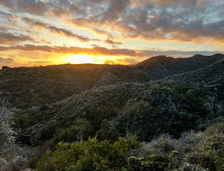
Millard Canyon Trail and Falls
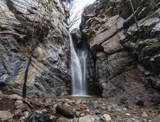
A hidden gem far from the bustle of Pasadena!
Moderate Hiking
- Distance
- 2.1 km
- Ascent
- 88 m
- Descent
- 88 m
Explore California with curated guides of the best hiking trails, mountain bike trails, trail running routes, ski routes, and more. With over 1098 3D trail maps in FATMAP, you can easily discover and navigate the best trails in California.
No matter what your next adventure has in store, you can find a guide on FATMAP to help you plan your next epic trip.
Get a top trail recommendation in California from one of our 79 guidebooks, or get inspired by the 1098 local adventures uploaded by the FATMAP community. Start exploring now!
A hidden gem far from the bustle of Pasadena!
Moderate Hiking
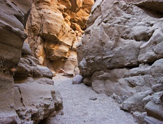
A stunning slot canyon deep in the Anza-Borrego desert.
Moderate Hiking
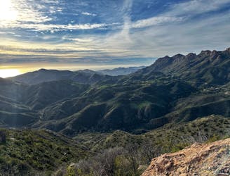
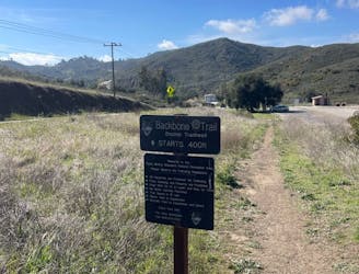
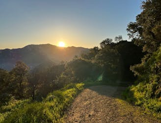
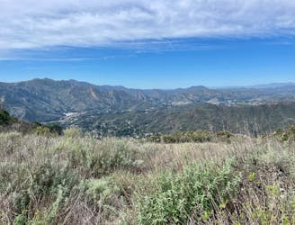
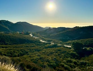
Backbone Trail Section 6: Encinal Canyon Road to Mishe Mokwa Trail
Moderate Trail Running
Backbone Trail Section 5: Latigo Canyon Road to Encinal Canyon Road
Moderate Trail Running
Backbone Trail Section 4: Piuma Road to Latigo Canyon Road
Moderate Trail Running
Backbone Trail Section 3: Saddle Peak to Piuma Lot
Moderate Trail Running
Backbone Trail Section 2 Trippet Ranch to Saddle Peak
Moderate Trail Running
Backbone Trail Section 1: WRSHP to Trippet Ranch Trailhead
Difficult Trail Running

A steep run off the back of the palisades
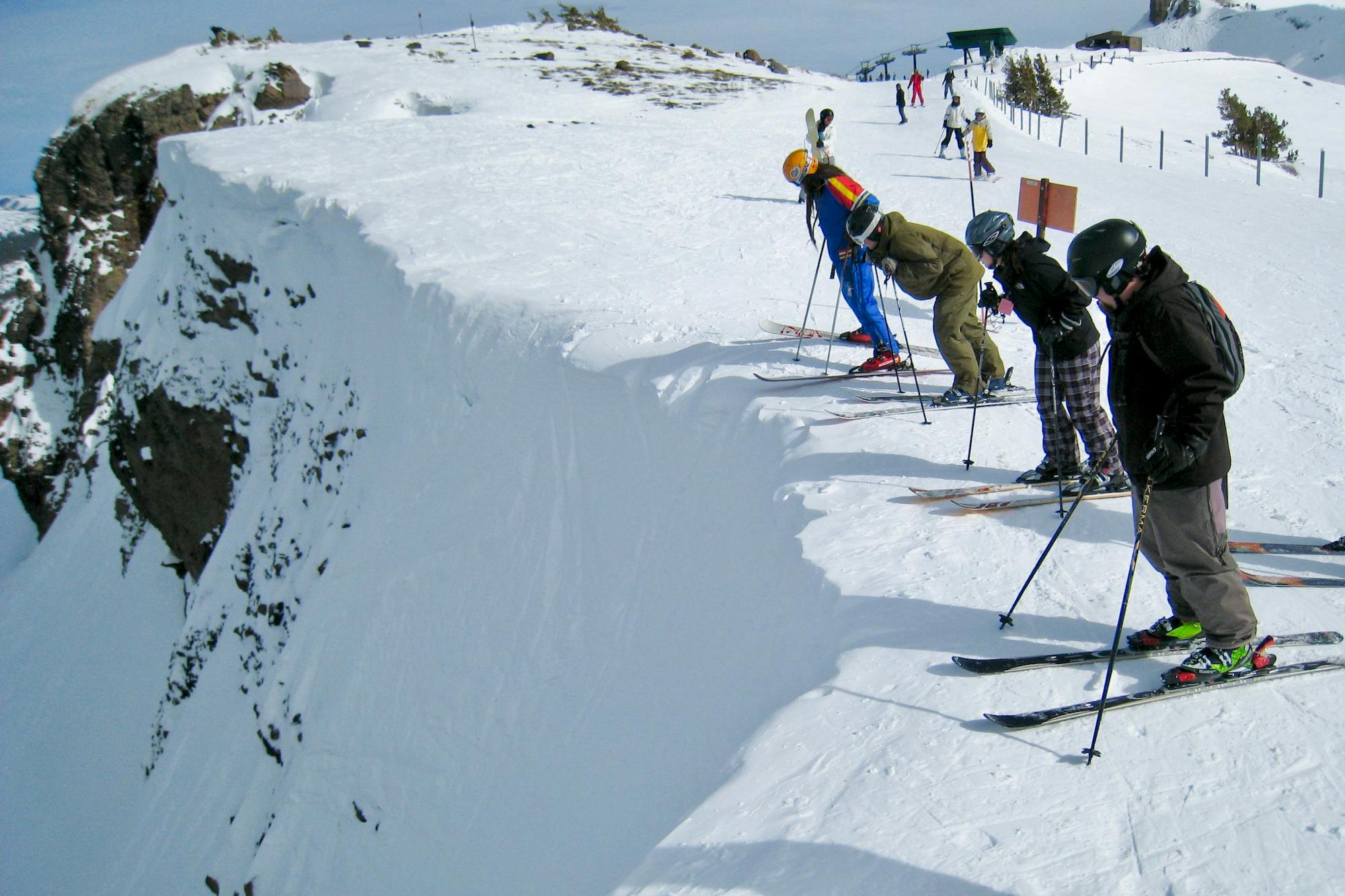
Severe Freeride Skiing

Bail out run, albeit steep, for those not skiing McConkey's
Severe Freeride Skiing

Isolated alternate to Basin Trail
Moderate Freeride Skiing
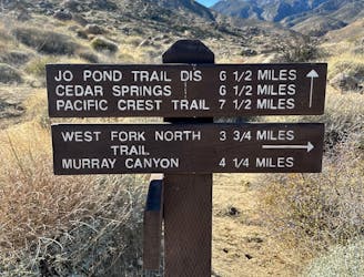
Indian Canyons Trading Post to West Fork Trail to Jo Pond Trail to PCT
Difficult Trail Running

Frog Lake alternate
Moderate Ski Touring

standard approach
Moderate Ski Touring

One of the many Rancho's routes
Moderate Trail Running

Malibu Creek SP Trailhead to Corral Canyon
Difficult Trail Running