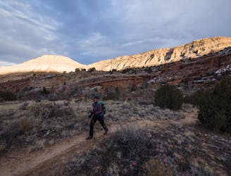
Holy Cross -> Eagle’s Wing Loop
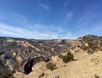
A stunning, easily-accessible hike to the Lunch Loops high point.
Severe Hiking
- Distance
- 15 km
- Ascent
- 446 m
- Descent
- 446 m

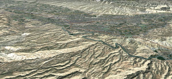
Go hiking in Grand Junction with curated guides of the best hikes across the region. With over 14 3D trail maps in FATMAP, you can easily discover and navigate the best trails in Grand Junction.
No matter what your next adventure has in store, you can find a guide on FATMAP to help you plan your next epic trip.
Get a top hiking trail recommendation in Grand Junction from one of our 12 guidebooks, or get inspired by the 14 local adventures uploaded by the FATMAP community. Start exploring now!
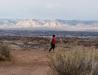
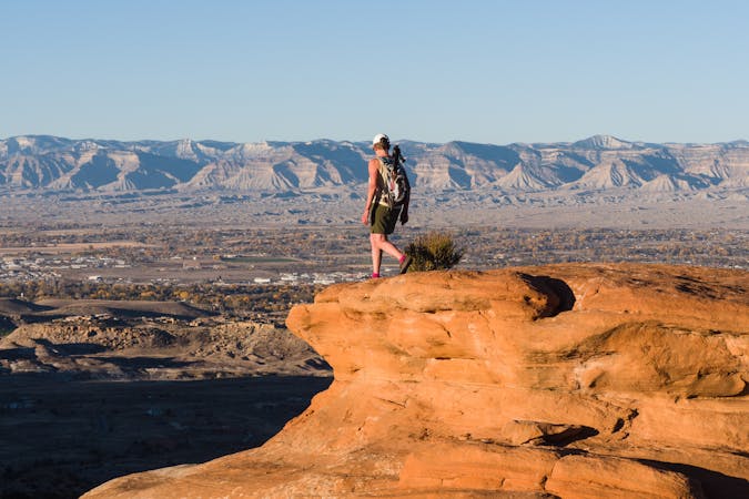
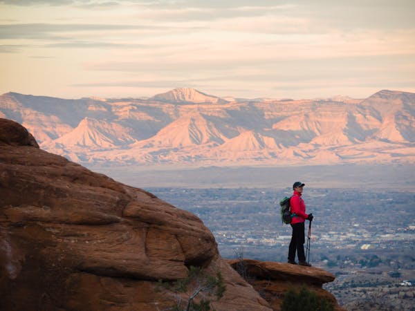
A stunning, easily-accessible hike to the Lunch Loops high point.
Severe Hiking

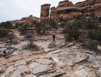
A gorgeous slickrock route with plenty of scrambling opportunities.
Moderate Hiking
A short hike to a lovely rock grotto.
Moderate Hiking
16 switchbacks take hikers up a historic old road.
Moderate Hiking
A short hike to a lovely box canyon.
Moderate Hiking
6 routes · Hiking
10 routes · Hiking