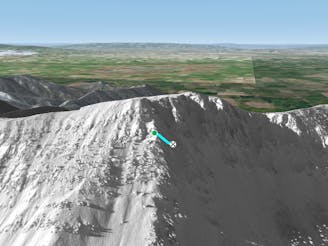
Shlushman's Ravine Rope Line

Rope line dividing the chairlift accessed from the hike to terrain
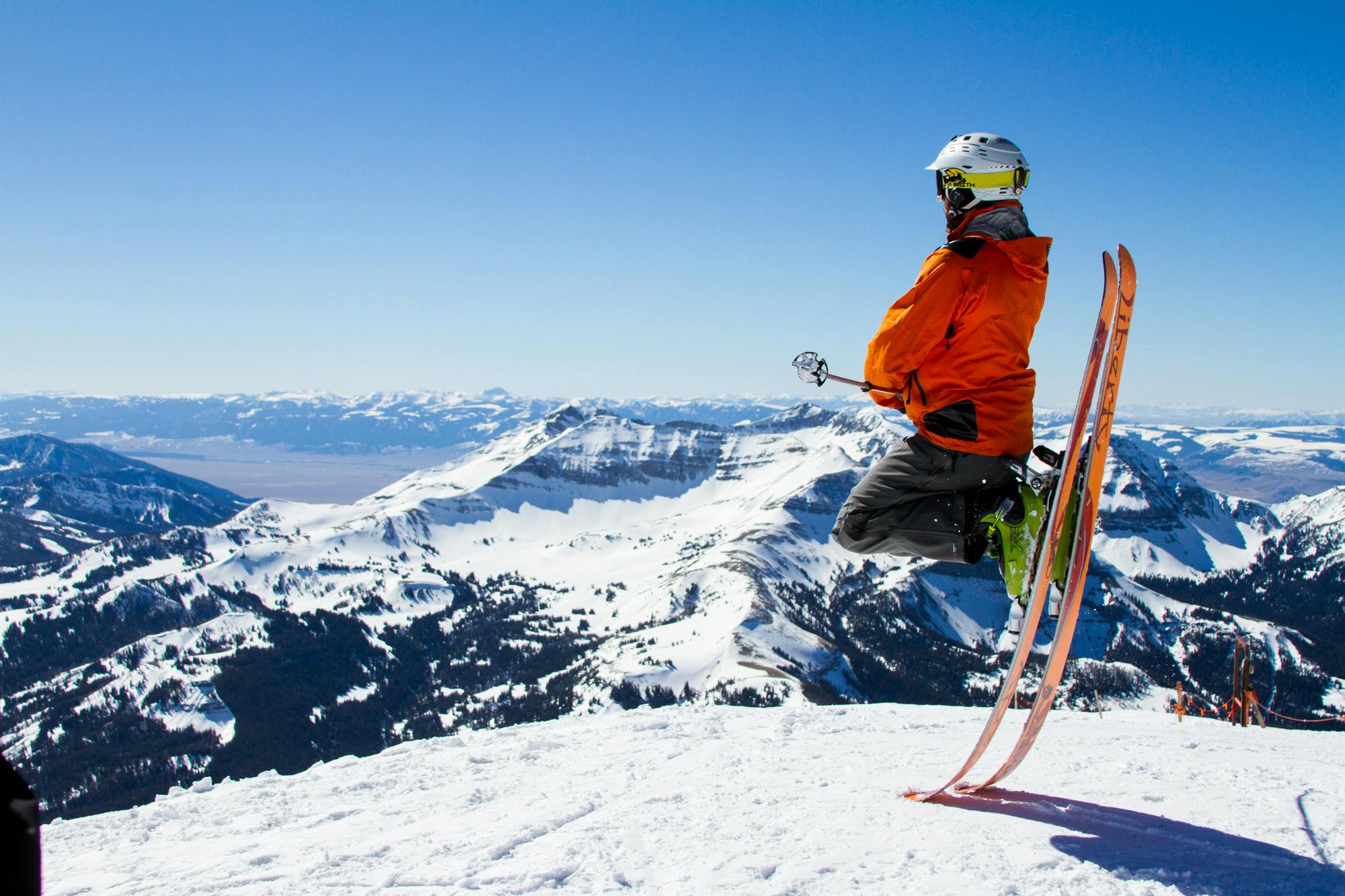
Difficult Freeride Skiing
- Distance
- 189 m
- Ascent
- 0 m
- Descent
- 112 m
Go Freeride in Montana with curated guides of the best routes across the region. With over 502 3D trail maps in FATMAP, you can easily discover and navigate the best routes in Montana.
No matter what your next adventure has in store, you can find a guide on FATMAP to help you plan your next epic trip.
Get a top Freeride recommendation in Montana from one of our 28 guidebooks, or get inspired by the 502 local adventures uploaded by the FATMAP community. Start exploring now!
Rope line dividing the chairlift accessed from the hike to terrain
Difficult Freeride Skiing

Ropeline controlling access to the High Traverse area
Difficult Freeride Skiing

Ropeline separating D Route from the rest of the ridge to the North
Difficult Freeride Skiing

Wide, North facing tree chute
Difficult Freeride Skiing

Wide open skiing
Difficult Freeride Skiing

South facing turns through wide spaced trees
Difficult Freeride Skiing

Narrow, North facing chute
Difficult Freeride Skiing

Wide open moderately steep bowl
Difficult Freeride Skiing

Large open chute
Difficult Freeride Skiing

Wide, steep face down into Mundy's
Difficult Freeride Skiing

Short powder shot that is hard to access
Severe Freeride Skiing

Short, medium pitched open bowl skiing
Difficult Freeride Skiing

Mellow skiing through gullys
Moderate Freeride Skiing

South facing tight chute
Difficult Freeride Skiing

Decently wide mellow shot through trees
Difficult Freeride Skiing
Very long, steep pointer
Severe Freeride Skiing