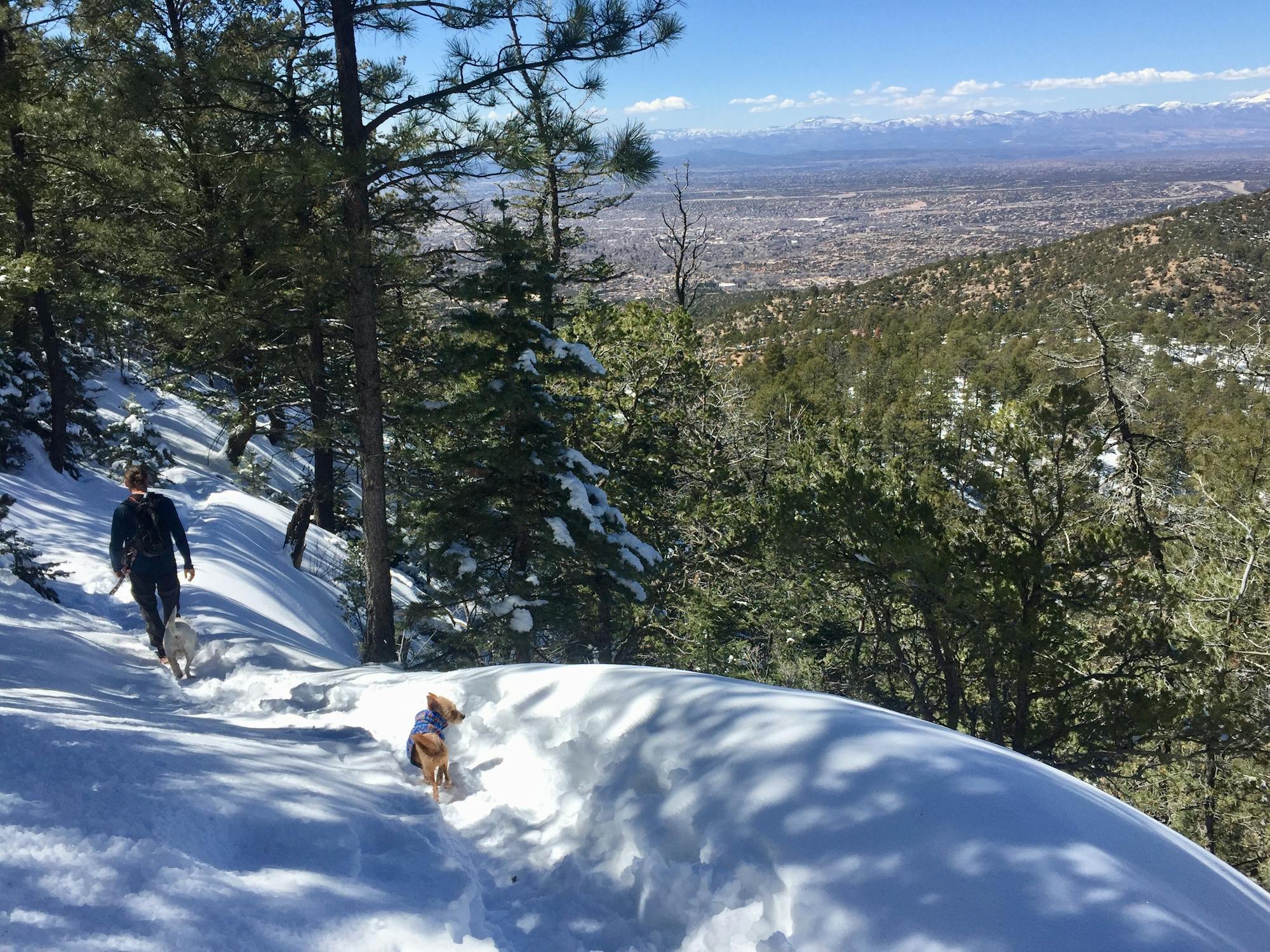
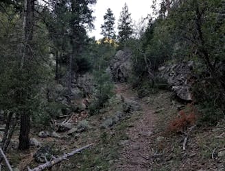
Atalaya Mountain Loop

Summit hike starting close to town with incredible views!
Moderate Hiking
- Distance
- 11 km
- Ascent
- 545 m
- Descent
- 545 m
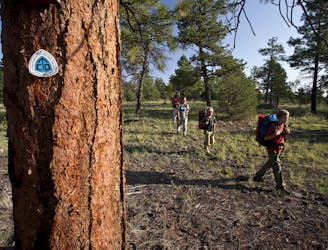
Go hiking in New Mexico with curated guides of the best hikes across the region. With over 207 3D trail maps in FATMAP, you can easily discover and navigate the best trails in New Mexico.
No matter what your next adventure has in store, you can find a guide on FATMAP to help you plan your next epic trip.
Get a top hiking trail recommendation in New Mexico from one of our 28 guidebooks, or get inspired by the 207 local adventures uploaded by the FATMAP community. Start exploring now!
Summit hike starting close to town with incredible views!
Moderate Hiking
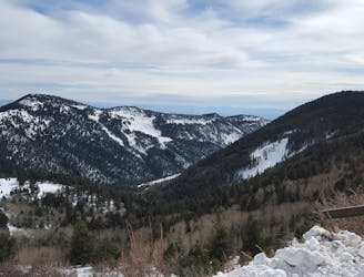
The best way to the highest point in New Mexico
Severe Hiking
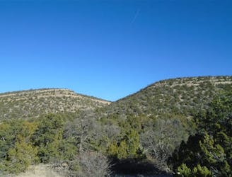
A long hike through wilderness canyons to an ancient ruins.
Difficult Hiking
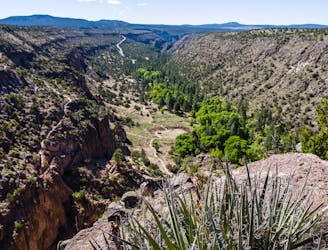
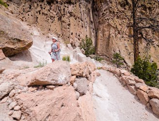
View of the canyon from Tyuonyi Overlook.
Easy Hiking
This loop meanders along the rim and back through Frijoles Canyon.
Difficult Hiking
A historical 550-foot switchbacking descent to the Visitor Center.
Moderate Hiking
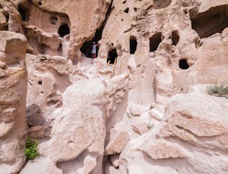
A must-do hike through Bandelier's ancient history.
Easy Hiking
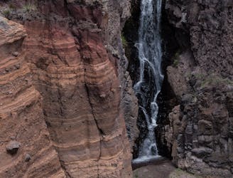
A 1.5-mile hike to a beautiful waterfall.
Moderate Hiking

A challenging loop into the southern portion of the Sandia Mountain Wilderness.
Severe Hiking
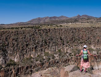
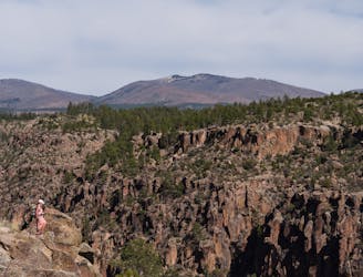
A trek through picturesque rock formations, leading to a panoramic overlook.
Difficult Hiking
A hidden gem located in the heart of the Magdalena Mountains.
Difficult Hiking
Long-distance trail along the crest of the Rocky Mountains from Mexico to Canada.
Difficult Hiking
This is a hike to north sandia peak, starting at the Osha Spring trail head ending the north peak
Difficult Hiking

Up the Middle Fork and Down the West Fork
Difficult Hiking