Black Dog

A line that splits the skier's left of T-Bird Trees and High Somewhere.
Difficult Freeride Skiing
- Distance
- 115 m
- Ascent
- 0 m
- Descent
- 83 m
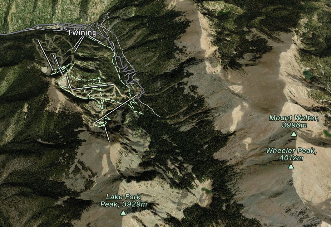
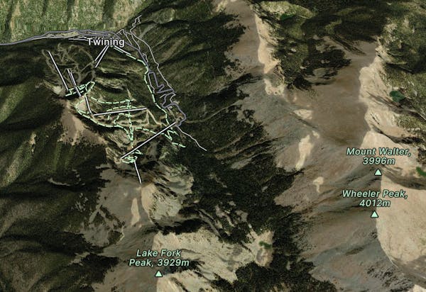
Taos Ski Valley is located in the Sangre De Cristo Mountains in Northern New Mexico and is home to a distinctive European atmosphere combined with local Native American and Spanish cultures. Taos is a powder lover’s paradise and is known for having light dry powder, undetectable lift lines, steep chutes, big bumps, cornices and tree glades.
Explore Taos with curated guides of the best ski routes, and more. With over 41 3D trail maps in FATMAP, you can easily discover and navigate the best trails in Taos.
No matter what your next adventure has in store, you can find a guide on FATMAP to help you plan your next epic trip.
Get a top trail recommendation in Taos from one of our 8 guidebooks, or get inspired by the 41 local adventures uploaded by the FATMAP community. Start exploring now!
A line that splits the skier's left of T-Bird Trees and High Somewhere.
Difficult Freeride Skiing

A wide blue, with some moguls on the far side.
Easy Freeride Skiing

A steep, extreme line into Hunziker Main
Extreme Freeride Skiing

A ramp-like wall dumping into Hunziker.
Severe Freeride Skiing

A fun slot through the rocks.
Moderate Freeride Skiing

Tree and open lines with full southern exposure.
Difficult Freeride Skiing

An interesting lines through moguls and big rocks.
Moderate Freeride Skiing

An extreme, technical line with cliffs and rocks.
Extreme Freeride Skiing

A steep chute with trees and an open section.
Difficult Freeride Skiing

A steep line through trees and big rocks.
Severe Freeride Skiing

A short shot through the trees.
Moderate Freeride Skiing

A quick shot through the trees.
Moderate Freeride Skiing

A more difficult version of Whitefeather.
Easy Freeride Skiing

Classic tree lines.
Difficult Freeride Skiing

A short glade.
Difficult Freeride Skiing

Essentially another entrance to Twin Trees Chute
Severe Freeride Skiing