Pitchell
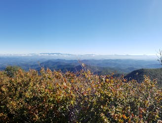
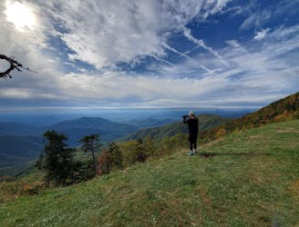
A highly-acclaimed trail run starting at the top of Mount Pisgah, and ending at Mount Mitchell, the highest point east of the Rockies.
Difficult Trail Running
- Distance
- 98 km
- Ascent
- 3.9 km
- Descent
- 3.6 km
Explore North Carolina with curated guides of the best hiking trails, mountain bike trails, trail running routes, and more. With over 233 3D trail maps in FATMAP, you can easily discover and navigate the best trails in North Carolina.
No matter what your next adventure has in store, you can find a guide on FATMAP to help you plan your next epic trip.
Get a top trail recommendation in North Carolina from one of our 38 guidebooks, or get inspired by the 233 local adventures uploaded by the FATMAP community. Start exploring now!
A highly-acclaimed trail run starting at the top of Mount Pisgah, and ending at Mount Mitchell, the highest point east of the Rockies.
Difficult Trail Running
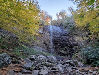
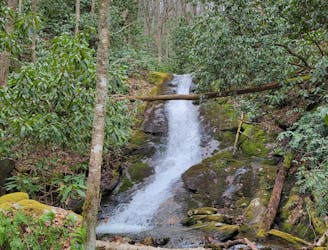
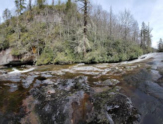
A short hike at the top of Big Ivy to a narrow and near-vertical, 70-foot waterfall.
Easy Hiking
A roadside swimming hole with several stunning cascades and a rope swing!
Difficult Hiking
A short hike to a swimming hole fed by two beautiful waterfalls.
Easy Hiking
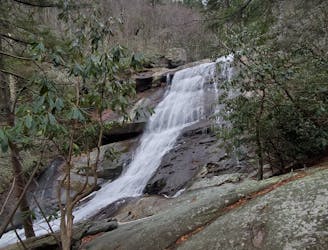
A short day hike west of Franklin to a quiet 70' waterfall.
Moderate Hiking
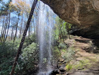
A stunning waterfall in Blue Valley with a massive rock "house" you can explore behind the falls.
Easy Hiking
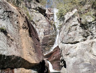
A steep trail with fixed ropes leading to one of the most spectacular waterfalls in Western North Carolina.
Difficult Hiking
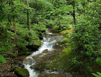
A long, steady waterfall with a cavernous overhang, deep potholes, and unique flora - deep in Panthertown Valley.
Moderate Hiking
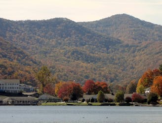
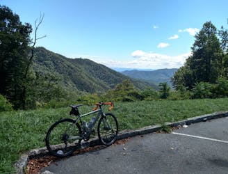
An epic ride from Waynesville to Max Patch with plenty of gravel roads, epic views, and camping opportunities.
Extreme Road Biking
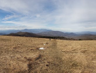
A gravel ride to a beautiful bald mountaintop in the Appalachian Mountains.
Easy Mountain Biking
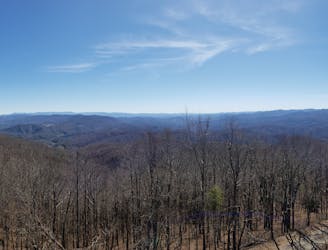
A difficult gravel loop near Hot Springs that pairs the French Broad River with killer views from Rich Mountain Fire Tower at 3,700'.
Easy Mountain Biking
A beautiful ride north of Asheville mixing quiet country roads and an unpaved state highway.
Difficult Road Biking
A classic gravel ride with numerous roadside waterfalls.
Severe Road Biking
A steep lollipop loop up Curtis Creek and down to the South Toe River.
Easy Mountain Biking
A steep gravel grind paired to a long road descent down NC-80.
Severe Road Biking
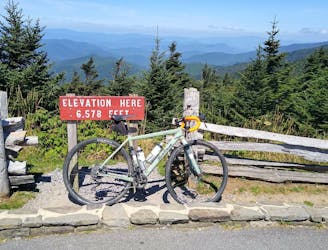
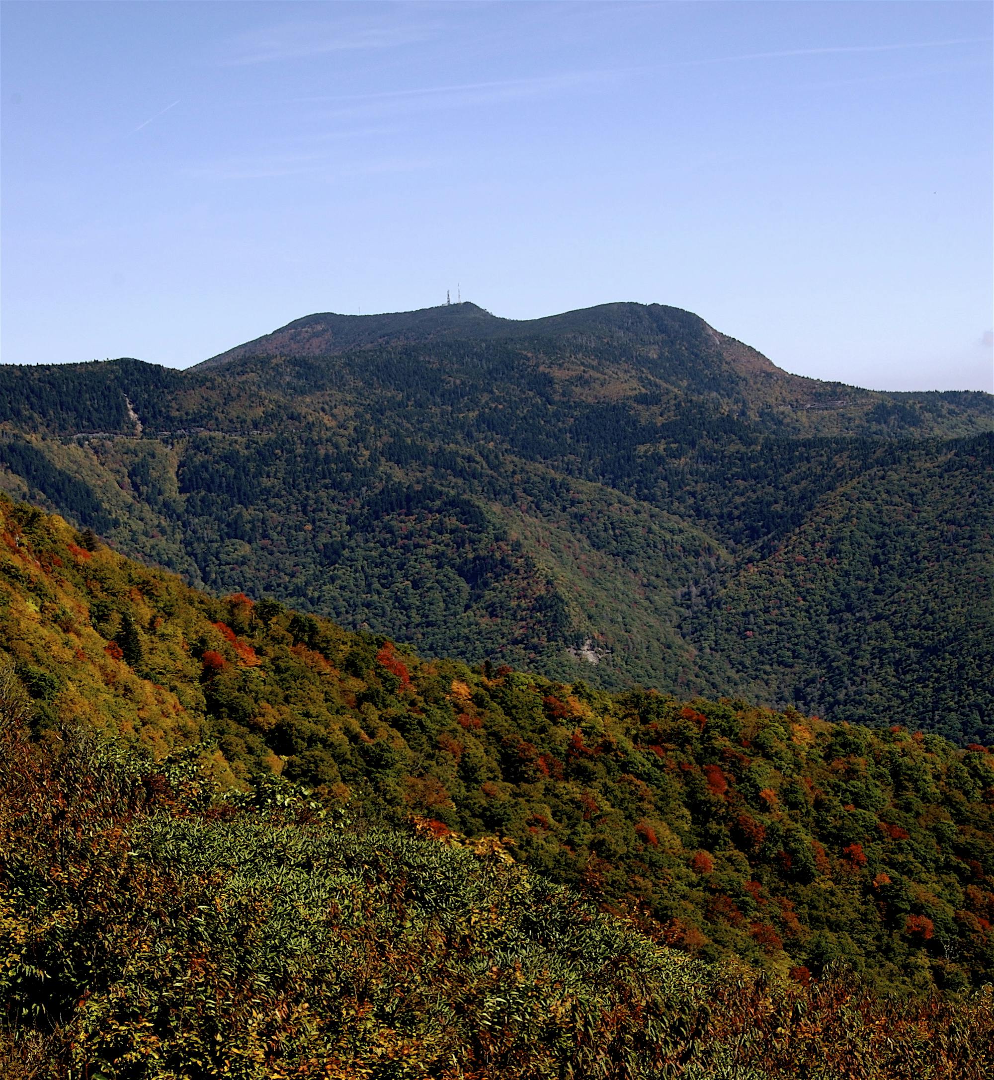
A challenging 75+ mile mixed surface loop with a side trip to Mount Mitchell.
Extreme Road Biking