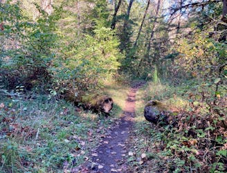
PCT: Highway 58 to Elk Lake junction
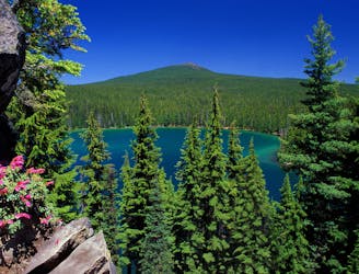
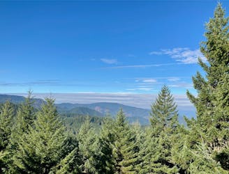
Miles 1907.9-1952.6 of the northbound PCT: Traveling expansive old-growth forest on a land of ancient volcanism, entering the Three Sisters Wilderness.
Moderate Hiking
- Distance
- 70 km
- Ascent
- 1.5 km
- Descent
- 1.5 km
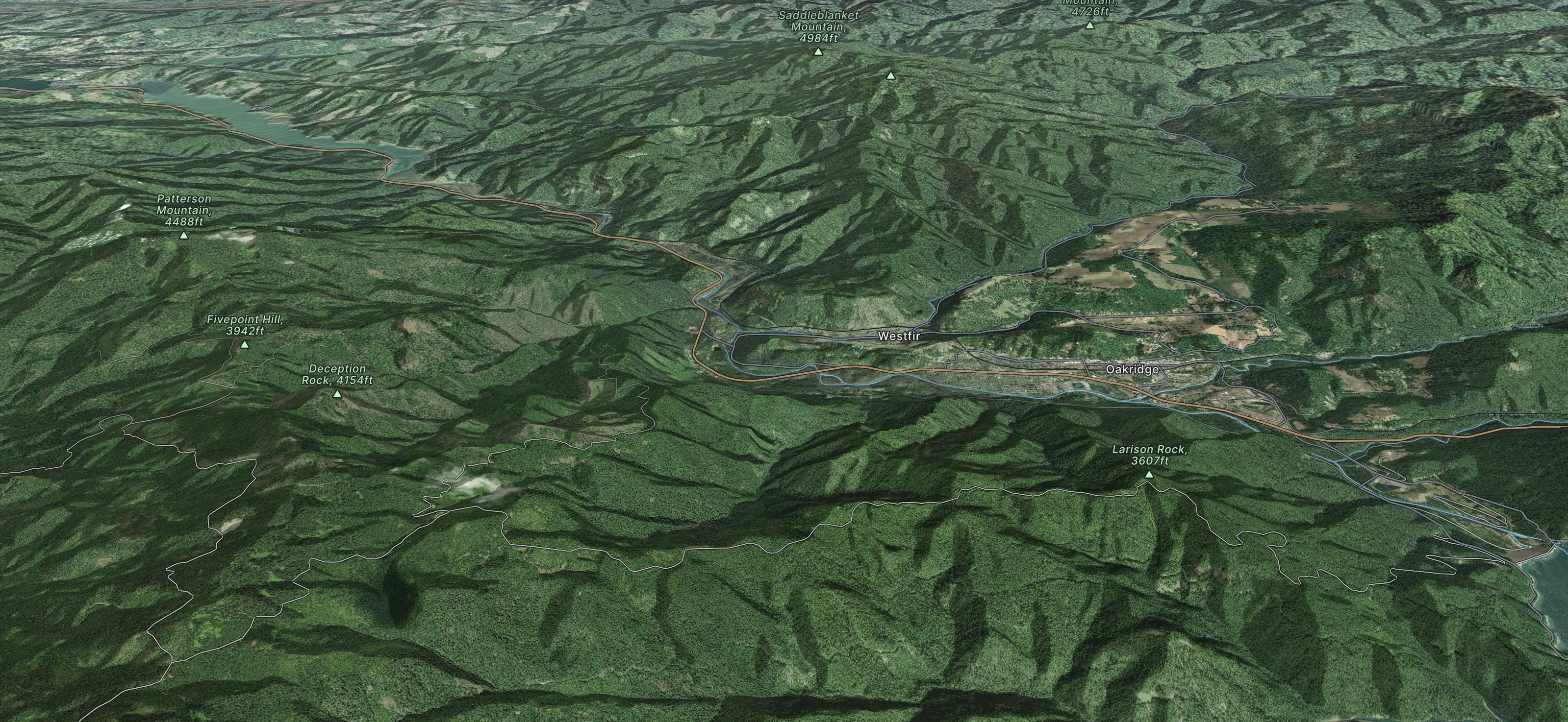
Go hiking in Oakridge with curated guides of the best hikes across the region. With over 29 3D trail maps in FATMAP, you can easily discover and navigate the best trails in Oakridge.
No matter what your next adventure has in store, you can find a guide on FATMAP to help you plan your next epic trip.
Get a top hiking trail recommendation in Oakridge from one of our 14 guidebooks, or get inspired by the 29 local adventures uploaded by the FATMAP community. Start exploring now!
Miles 1907.9-1952.6 of the northbound PCT: Traveling expansive old-growth forest on a land of ancient volcanism, entering the Three Sisters Wilderness.
Moderate Hiking
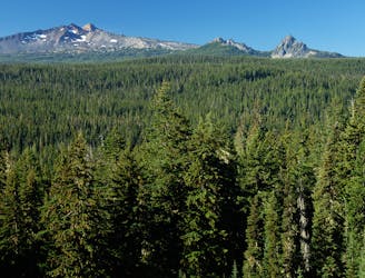
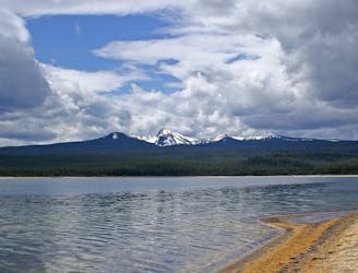
Miles 1890.7-1907.9 of the northbound PCT: Continuing Oregon Section D around the base of Diamond Peak, through a wilderness of deep woods and hidden lakes.
Moderate Hiking
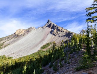
Miles 1847.8-1890.7 of the northbound PCT: Beginning OR Section D in the Mount Thielsen Wilderness, and cresting the highest point of the PCT in Oregon and Washington.
Moderate Hiking
Quick hike to a gorgeous view!
Moderate Hiking
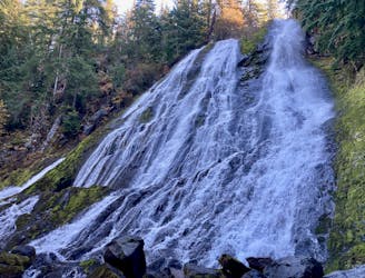
Experience the best of the Cascades on this stunning hike to Diamond Creek Falls.
Moderate Hiking
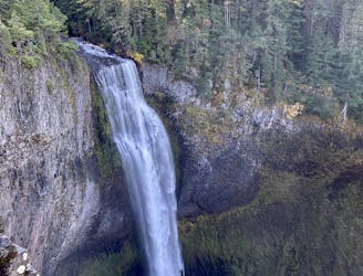
Hike to the lower viewing platform to get a better view of Salt Creek Falls.
Easy Hiking

Score beautiful views of the North Fork of the Willamette River.
Moderate Hiking
A laid back hike with beautiful creek views.
Easy Hiking
27.4-mile loop in the Cascades that climbs an extinct shield volcano and tours lake-dotted landscapes in the Diamond Peak Wilderness
Severe Hiking

Steep mountain climb directly from the outskirts of Oakridge.
Difficult Hiking