10,420

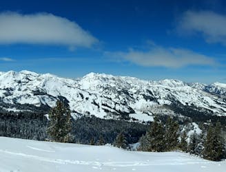
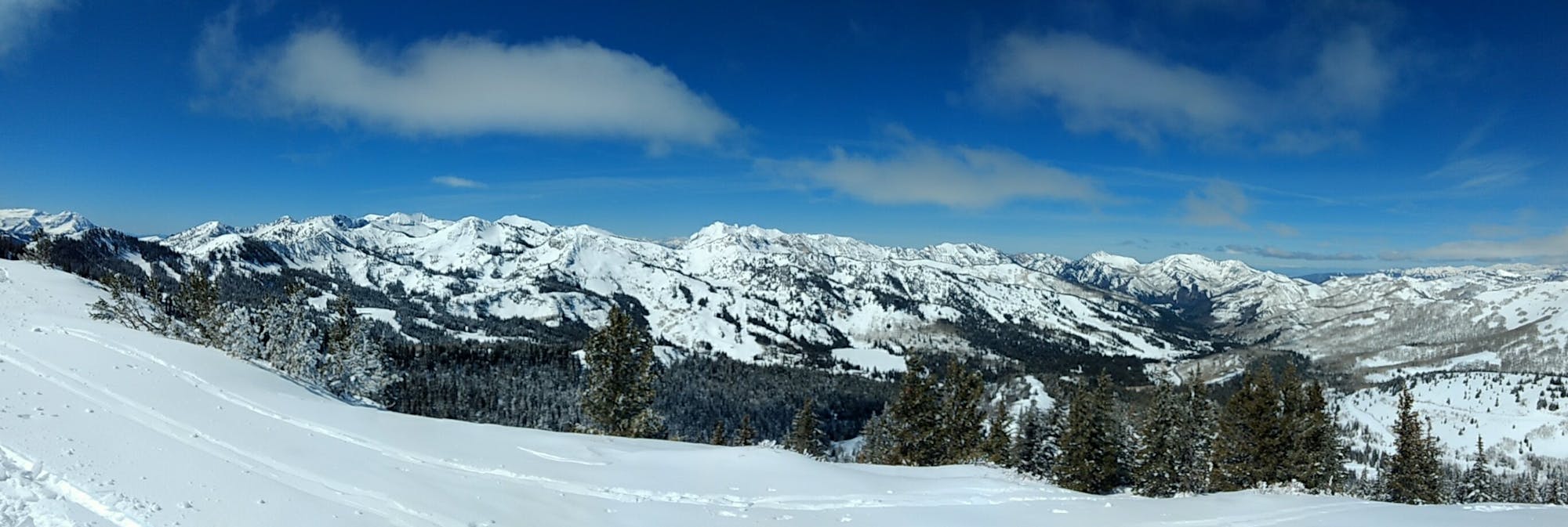
A classic longer line for skiers willing to make the walk
Difficult Freeride Skiing
- Distance
- 3.4 km
- Ascent
- 113 m
- Descent
- 635 m

Go Freeride in Utah with curated guides of the best routes across the region. With over 650 3D trail maps in FATMAP, you can easily discover and navigate the best routes in Utah.
No matter what your next adventure has in store, you can find a guide on FATMAP to help you plan your next epic trip.
Get a top Freeride recommendation in Utah from one of our 65 guidebooks, or get inspired by the 650 local adventures uploaded by the FATMAP community. Start exploring now!


A classic longer line for skiers willing to make the walk
Difficult Freeride Skiing

A steep, rocky, tree-d run into Snake Bowl.
Difficult Freeride Skiing

A short, fun tree run that brings you right back to the resort
Severe Freeride Skiing

A steep, tree-d run off Pioneer Ridgeline
Difficult Freeride Skiing

An exciting area with a variety of cliff and chute options
Difficult Freeride Skiing

A steep and tight chute with rocks
Extreme Freeride Skiing

A steep, semi tree-d run on the west side of Mount Millicent
Severe Freeride Skiing

A fun run through open aspen glades
Difficult Freeride Skiing

A popular double cliff air
Extreme Freeride Skiing

A steep, wide open chute
Difficult Freeride Skiing

A short, tight straight line
Extreme Freeride Skiing

Steep, rocky run, through tight trees that finishes in tight little chutes
Severe Freeride Skiing

A partly open, partly tree-d run just outside the resort boundary
Difficult Freeride Skiing

Secret gate that takes you just other side of rope line
Difficult Freeride Skiing

Cliff area just past the ski area boundary on Milly Bowl
Severe Freeride Skiing

A steep technical line that is very rarely skied
Extreme Freeride Skiing