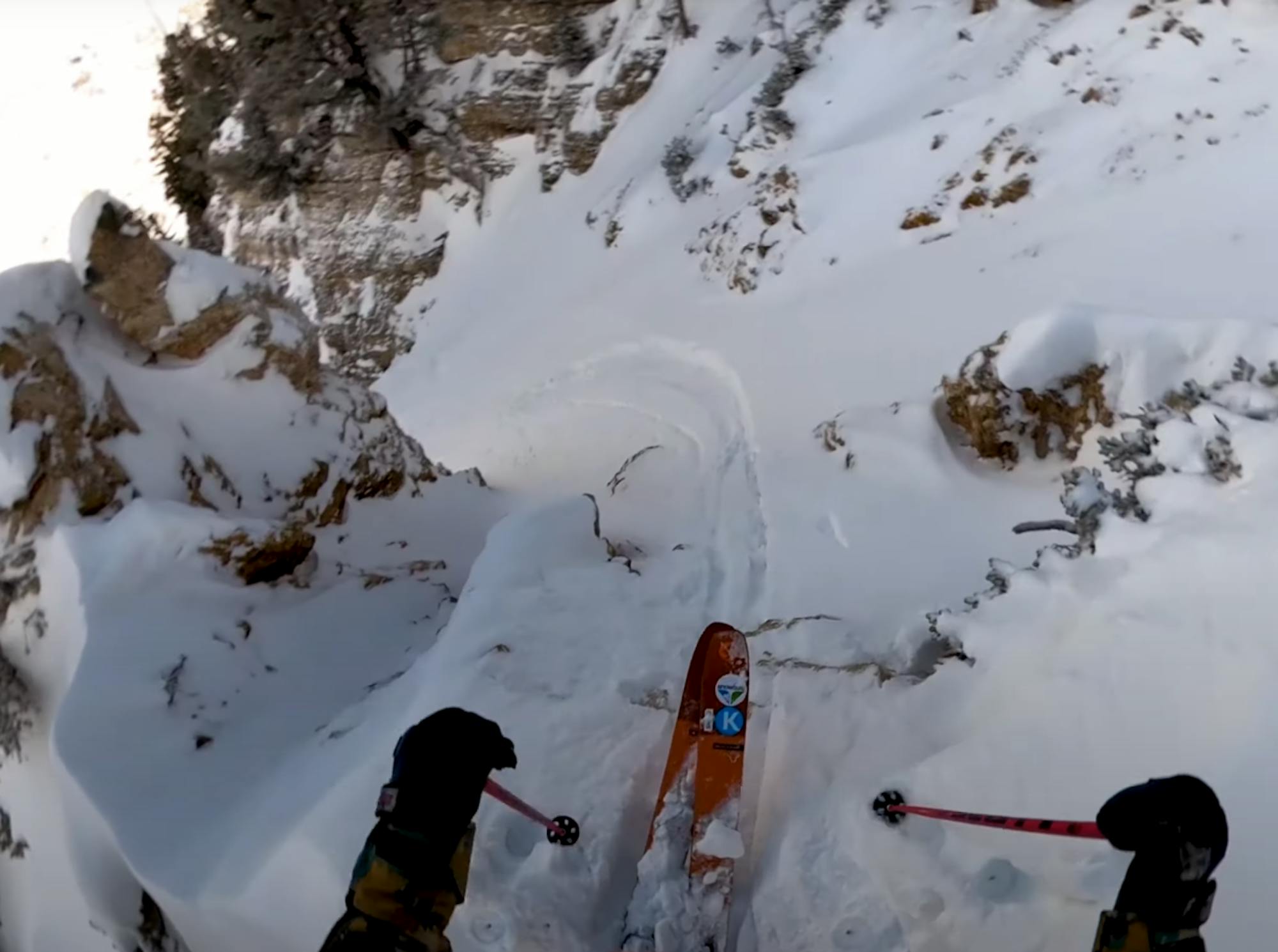
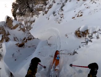
Elevator / Milly Gut Bootpack

A tough hike with glorious views at the top.
Moderate Freeride Skiing
- Distance
- 366 m
- Ascent
- 182 m
- Descent
- 0 m
Go Freeride in Utah with curated guides of the best routes across the region. With over 650 3D trail maps in FATMAP, you can easily discover and navigate the best routes in Utah.
No matter what your next adventure has in store, you can find a guide on FATMAP to help you plan your next epic trip.
Get a top Freeride recommendation in Utah from one of our 65 guidebooks, or get inspired by the 650 local adventures uploaded by the FATMAP community. Start exploring now!
A tough hike with glorious views at the top.
Moderate Freeride Skiing

A secret bowl with trees near the top
Moderate Freeride Skiing

A technical Double Cliff
Extreme Freeride Skiing

A steep slot though the trees
Difficult Freeride Skiing

Some V shaped airs
Extreme Freeride Skiing

A mellow powder field that leads into a spicy choke and steep chute
Severe Freeride Skiing

Steep chutes that are rarely open
Severe Freeride Skiing

Run with some rocks and natural features.
Moderate Freeride Skiing

Possibly the hardest terrain at Snowbasin.
Extreme Freeride Skiing

Steep rock lined chutes.
Severe Freeride Skiing

Steep chute under the tram
Severe Freeride Skiing

High Consequence chute
Extreme Freeride Skiing

Amazing unmarked trees
Difficult Freeride Skiing
Awesome line off High Baldy.
Severe Freeride Skiing

Rarely skiable cliffband, steepest inbounds line at Snowbird
Extreme Freeride Skiing

Short hike to fresh turns after a storm.
Moderate Freeride Skiing